Cooks Meadow Extension Trail Work – Nov. 1

2015 trail work schedule
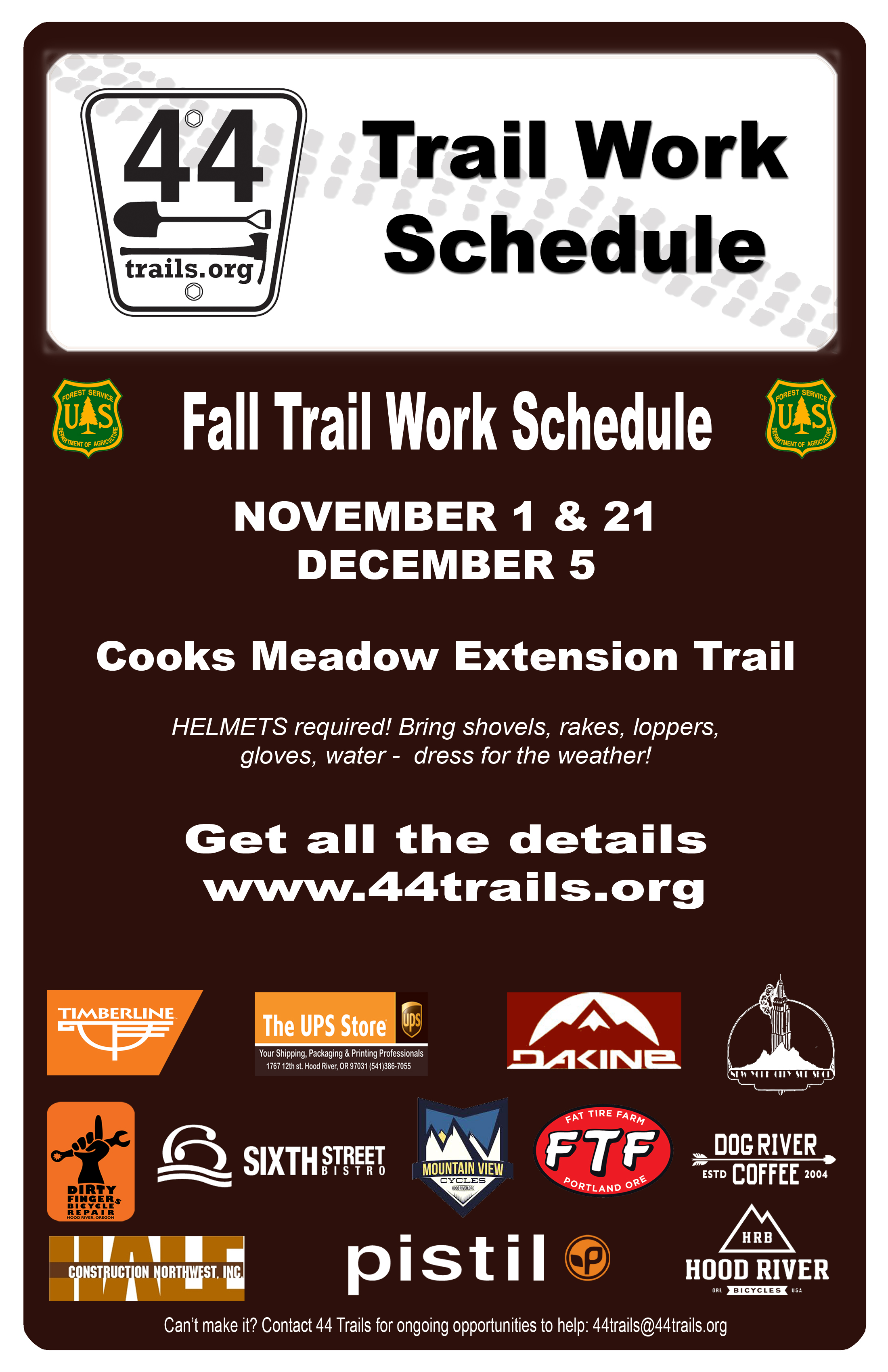
Our November 1st trail day is coming up this weekend!

Meet at 9am at the Little John SnoPark on Highway 35. FYI it’s also the first day of setting our clocks back an hour, so you get an extra hour of sleep to recover from any post-Halloween festivities.

This will be our first volunteer work day on the Cooks Meadow extension and we need your help. It’s looking like it could be wet, so please be prepared for the weather with your favorite wet weather work gear including a helmet (required – bike helmets ok), gloves, boots, etc. We’ll probably work ’til about 2pm and will have sandwiches thanks to New York City Sub Shop in HR. Plus there will be a swag raffle thanks to our sponsors!

At this point, we’ll be doing early stage work, so tools like loppers, flat blade shovels, steel rakes and mcleods are most appropriate.

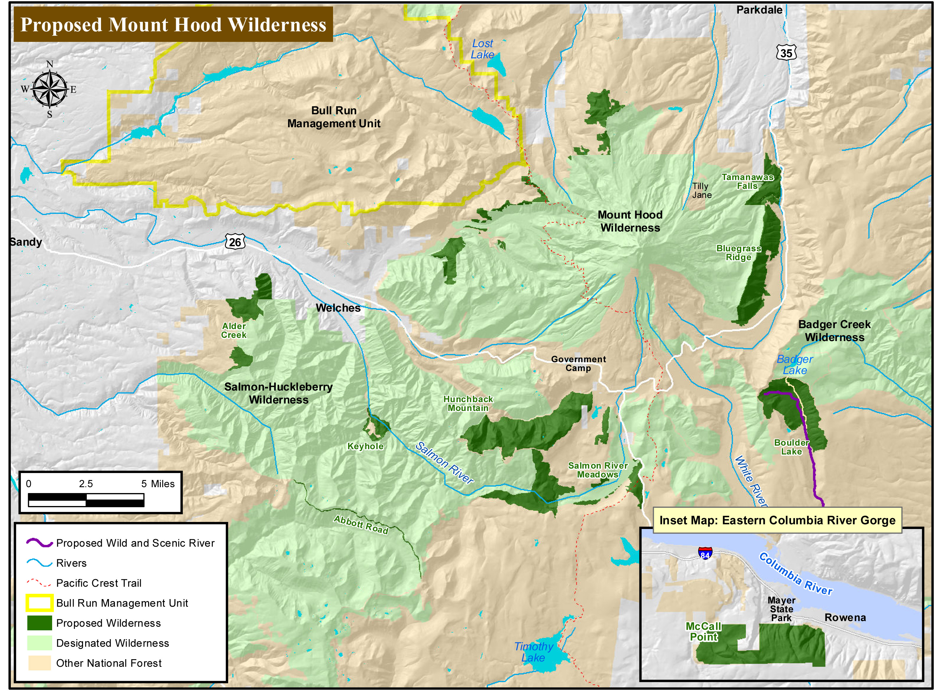
Want to know more about the trail?
check out the map

DETAILS:
WHEN:
Sunday, November 1, 2015 – 9 am @ Little John SnoPark on Highway 35

We’ll have coffee thanks to Dog River Coffee in HR and sign-in at the SnoPark and then move up to the work site as a group.

PROJECT:
Early stage tread work and brushing of pin line on the Cooks Meadow Extension trail.

TOOLS:
Wet weather work gear including a helmet (required – bike helmets ok), gloves, boots, etc. Loppers, flat blade shovels, steel rakes and mcleods are most appropriate.

Mt Hood Wilderness

mt hood wilderness proposal mapOregon Wild is still working to expand the Mt Hood Wilderness designation in the Boulder Lake / Barlow District area of the Mount Hood National Forest. It’s all part of what they call “unfinished business” related to the 2009 legislation which added wilderness status to new sections of the Mt Hood National Forest.

The newest additions sought will impact mountain bike recreation on the Barlow District of the Mt. Hood National Forest by closing access to bikes. Specifically, the Boulder Lake zone and the various rides that connect to that area will become closed to bikes. Mt bike access was already impacted by the 2009 Wilderness legislation and this proposal expands the impact.

At this point, the best way to voice your opinion on the proposal is to write our regional reps in the House and Senate – Walden, Wyden, Blumenauer. For those who would like to offer their opposition to increased wilderness designation, here are a few talking points:

  • Between wilderness designation and Bull Run watershed protection, the Mt Hood National Forest has very limited access for multi-use recreation. Adding wilderness designation to more areas further limits an already small multi-use trail system.
  • Contrived wilderness segments with preserved road access weaken the Wilderness Act by not staying true to the Act’s original intent.
  • These are lands which should be managed primarily for recreational value— the areas with true wilderness values on Mt. Hood have already hold wilderness designation.
  • Putting the wilderness blanket over these lands makes it difficult to manage them for recreational value — ie. trail maintenance and construction is limited to hand tools so all blowdown must be cleared without mechanized help (chainsaws).
  • We debated these same areas before the 2009 legislation was passed.  The current wilderness designation reflects a compromise that was reached between interested parties. Now, we’re being asked to compromise on the compromise.
  • The 2009 wilderness designation resulted in the loss of approximately 100 miles of multi-use trails and roads. Traffic and use on the remaining multi-use trails in the system has increased to the point that these trails are showing increased signs of wear and tear, requiring more maintenance.


Fire Closure – Mt Hood National Forest

Badger Lake fire mt hoodIf you have not heard, there is a fire near Badger Lake on the Barlow District of the Mt Hood National Forest.

It’s not directly affecting the bulk of the 44 Trails zone, but there are a number of closures to consider if you are headed up to the area, most notably High Prairie, Gumjuwac, Gunsight and most everything adjacent to Badger lake including the Boulder Lake.

Badger lake Fire mapHere’s the latest official info from the USFS. 

Media Information Line: 503-668-1791/503-668-1776
Public Fire Information: (541) 467-2291
Office hours: 8:00 a.m. to 4:30 p.m.

10/6/15 UPDATE:

The Badger Lake Fire is approximately 60 acres in size and burning in heavy dead and down timber. The fire is located northwest of Badger Lake in the Badger Lake Wilderness. Steep terrain, limited road access and an abundance of snags (standing dead trees) pose challenges for firefighter safety. Retardant was dropped on Forest Road 3550 yesterday with the goal of keeping the fire within the wilderness. Additional retardant has been ordered. Two helicopters continue to work on the fire.

The Badger Lake Fire began on Saturday, October 3, 2015. The cause of the fire is under investigation. Base Camp for the Fire is at Badger Lake Campground.

An area closure is in effect for the area surrounding the fire to protect public and firefighter safety as crews work to contain the fire. The closure includes roads, trails and developed recreation sites. Please contact the Barlow Ranger Station for details or the website address below.

PERSONNEL AND RESOURCES: Approximately 70 personnel, including 2 20 person crews, 4 Type 6 Engines, 1 Type 1 helicopter, and 1 Type 2 helicopter, and 12 rappellers.

SPECIAL MESSAGES/CLOSURES: An area closure is in effect for the Badger Lake Fire. For more information on the closure go to the Mt. Hood NF Closure webpage.

Badger Lake Fire Closure
Effected roads:

  • 3500640 Closed
  • 3500641 Closed
  • 3500642 Closed
  • 3500660 Closed
  • 3540000 Closed
  • 3540011 Closed
  • 3540012 Closed
  • 3540630 Closed
  • 3540640 Closed
  • 3540641 Closed
  • 3550000 Closed
  • 3550620 Closed
  • 4860000 Closed
  • 4860140 Closed
  • 4860160 Closed
  • 4880000 Closed
  • 4891000 Closed
  • 4891120 Closed

Effected Trails:

  • 465         PINE CREEK Closed
  • 477         BADGER CREEK CUTOFF Portion Closed
  • 458         DIVIDE Closed
  • 478         CRANE CREEK Portion Closed – North End
  • 464         CRANE PRAIRIE Portion Closed
  • 466         THREE MILE Closed
  • 479A      BADGER LAKE Closed
  • 480         GUMJUWAC Closed
  • 680         JEAN LAKE Closed
  • 467         POST CAMP Closed
  • 477A      WEST FORK Closed
  • 685B      CAMP WINDY Closed
  • 463         BOULDER LAKE Portion Closed
  • 493         HIGH PRAIRIE Closed
  • 685         GUNSIGHT BUTTE Closed
  • 479         BADGER CREEK Portion Closed (West of Bonney Crossing)

Effected Rec Sites are

  • Badger Lake C.G. Closed
  • Camp Windy C.G Closed
  • Bonney Meadows Closed

Cooks Meadow Trail Project

2015 trail work scheduleWe got the go ahead from the USFS and we’re ready to get to work on the Cooks Meadow Extension project!

All trail days are rain or shine. Please dress for the weather. Hand tools, drinking water, HELMETS (required – bike helmets ok), gloves and work shoes recommended. We’ll post a few more details on what to bring the week before the trail day.

Want to more about the trail? check out the map

Here is our fall 2015 work schedule:

Sunday, November 1, 2015
DETAILS: Meet 9am at Little John SnoPark on Highway 35
PROJECT: Early stage tread work. lopping, brushing of pin line

Saturday, November 21, 2015
DETAILS: Meet 9am at Little John SnoPark on Highway 35
PROJECT: Early stage tread work. lopping, brushing of pin line

Saturday, December 5, 2015
DETAILS: Meet 9am at Little John SnoPark on Highway 35
PROJECT: Early stage tread work. lopping, brushing of pin line