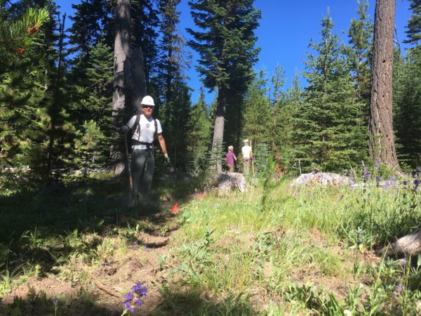
Surveyor’s Ridge Reroute – trail work day August 12, 2017

Surveyor's Ridge TrailThe Surveyor’s Ridge Reroute Continues!

A segment of the Surveyor’s Ridge Trail #688 will be impacted by the City of The Dalles Watershed Pipeline replacement project. The vintage pipeline providing water to the City of The Dalles is being replaced with a modern version. A portion of the pipeline is adjacent to or beneath the south end of the Surveyors Ridge Trail. The pipeline project will permanently change the trail corridor in these locations -creating a 25 foot wide corridor with aggregate placed along the right-of-way.

We re working on a re-route of the Surveyor’s Ridge trail where it follows the pipeline to maintain a semi-primitive trail experience. The reroute also improves interconnectivity of trails in the vicinity by connecting with the Super Connector and will provide a short loop for beginner riders who want a shorter trail experience than Surveyors Ridge. READ MORE about the Surveyor’s Ridge Reroute Project and check out project map.

Trail Work Day – Surveyor’s Ridge Reroute Project

We will working on the Surveyor’s reroute doing the initial clearing and rough-in work that will establish the new route.

REQUIRE EQUIPMENT:
Hardhats (bike helmets ok), long pants, work gloves and work boots, water. 

WHEN: 
Saturday, August 12, 2017 @ 9am – 2pm (plenty of time for a post-work-project ride)
Meet 9am @ Little John SnoPark on Highway 35
We’ll have coffee thanks to Dog River Coffee in HR and sign-in at the SnoPark and then move up to the work site as a group. Lunch will be provided by NY City Subs in Hood River.

PROJECT:
Handbuilt singletrack on Surveyor’s ridge re-route. We will be doing rough in and route trimming/clearing.

TOOLS:
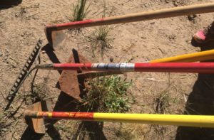
Surveyor's RidgeHelmet/hardhat (bike helmets ok), long pants, gloves, and work boots required.
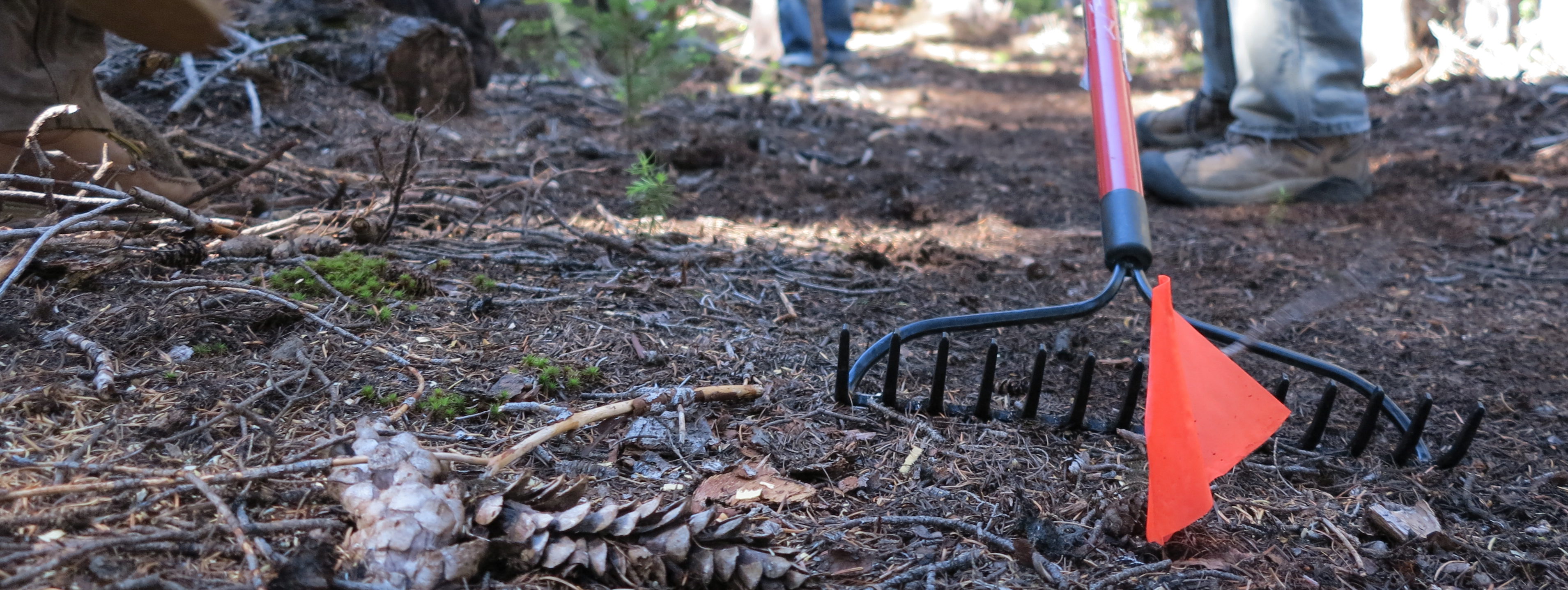
Hand tools only – Pruning Saws, Flat Shovels, McCleods, Loppers, Metal Rakes (NO chainsaws please).

It gets warm up there – please be sure to bring water and sunscreen.
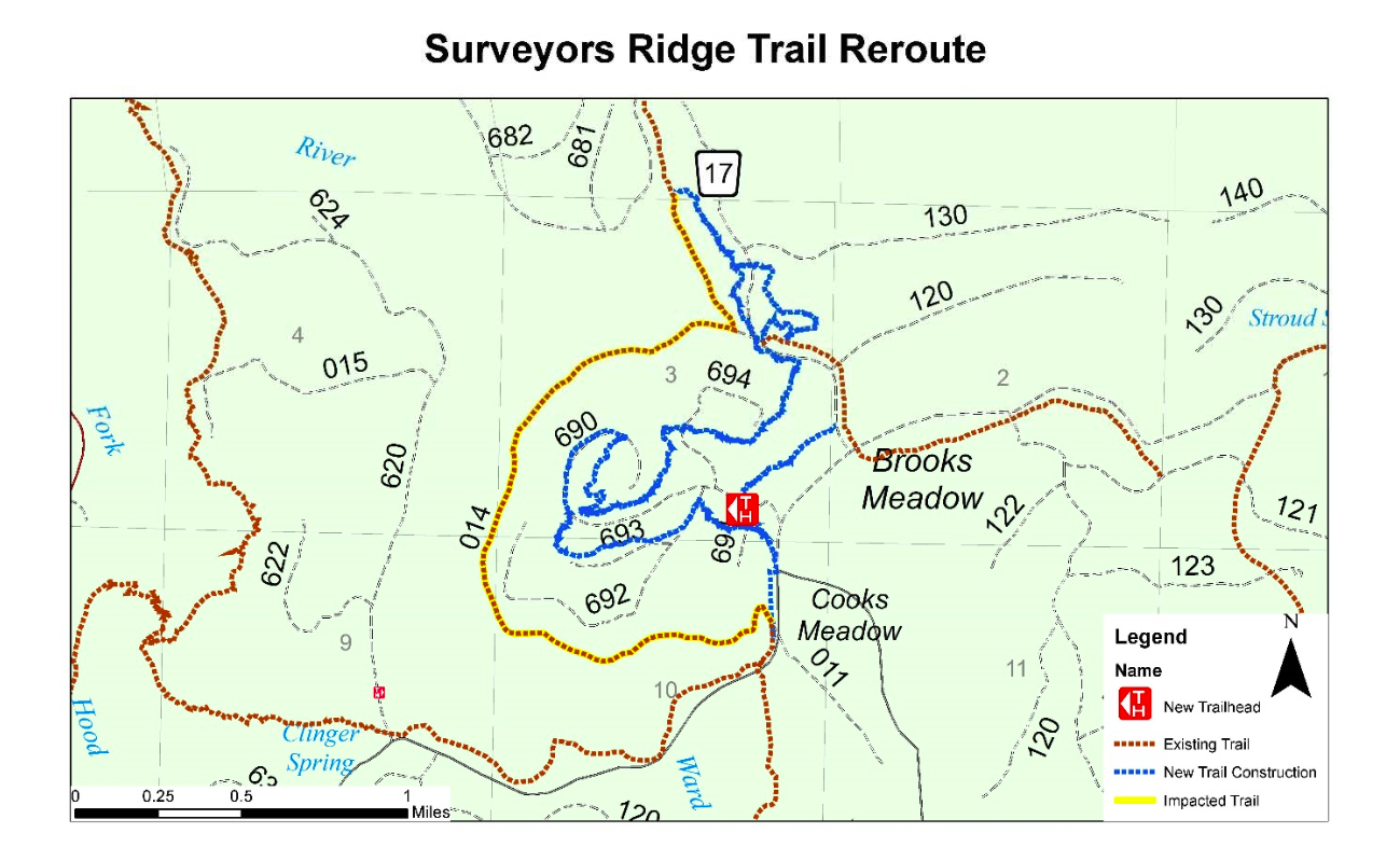
Surveyor's Ridge Trail Reroute

Here is the map showing the approximate route of the Surveyor’s Ridge trail project. The existing trail (yellow) will be disrupted by the new pipeline – the new route (blue) shows the tentative routes to connect with the SuperConnector (brown) near the 17 Road.

 

Trail Work Day – Saturday, July 22 – Surveyor’s Ridge Reroute Project

singletrack mt hoodTrail Work Day – Surveyor’s Ridge Reroute Project

Our first big trail work day of the summer is one week away – Sat July 22. We will working on the Surveyor’s reroute doing the initial trimming, clearing and rough-in work that will establish the new route. (The upper Surveyors route is being relocated to due to the pending large-scale Dalles Watershed pipeline project – and it’s a nice upgrade of the existing two-track start.)

Hardhats (bike helmets ok), long pants, work gloves and work boots REQUIRED!

WHEN: 
Saturday, July 22, 2017 @ 9am – 2pm (plenty of time for a post-work-project ride)
Meet 9am @ Little John SnoPark on Highway 35
We’ll have coffee thanks to Dog River Coffee in HR and sign-in at the SnoPark and then move up to the work site as a group. Lunch will be provided by NY City Subs in Hood River.

PROJECT:
Handbuilt singletrack on Surveyor’s ridge re-route. We will be doing initial rough in and route trimming.

TOOLS:
Helmet/hardhat (bike helmets ok), long pants, gloves, and work boots required.
Hand tools only – Pruning Saws, Flat Shovels, McCleods, Loppers, Metal Rakes (NO chainsaws please).

It gets warm up there – please be sure to bring water and sunscreen.

Wildflower Season and Great Trail Conditions

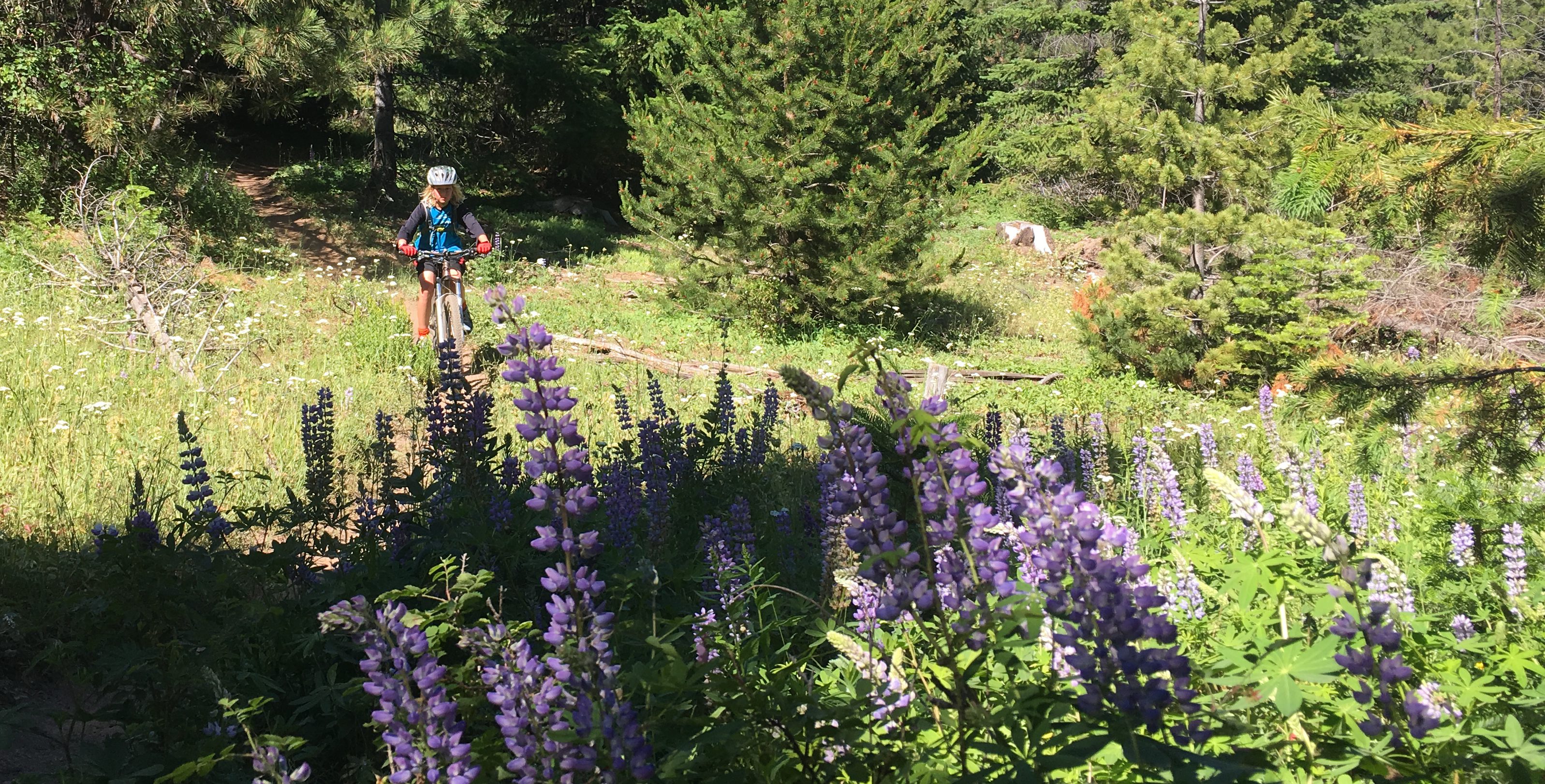
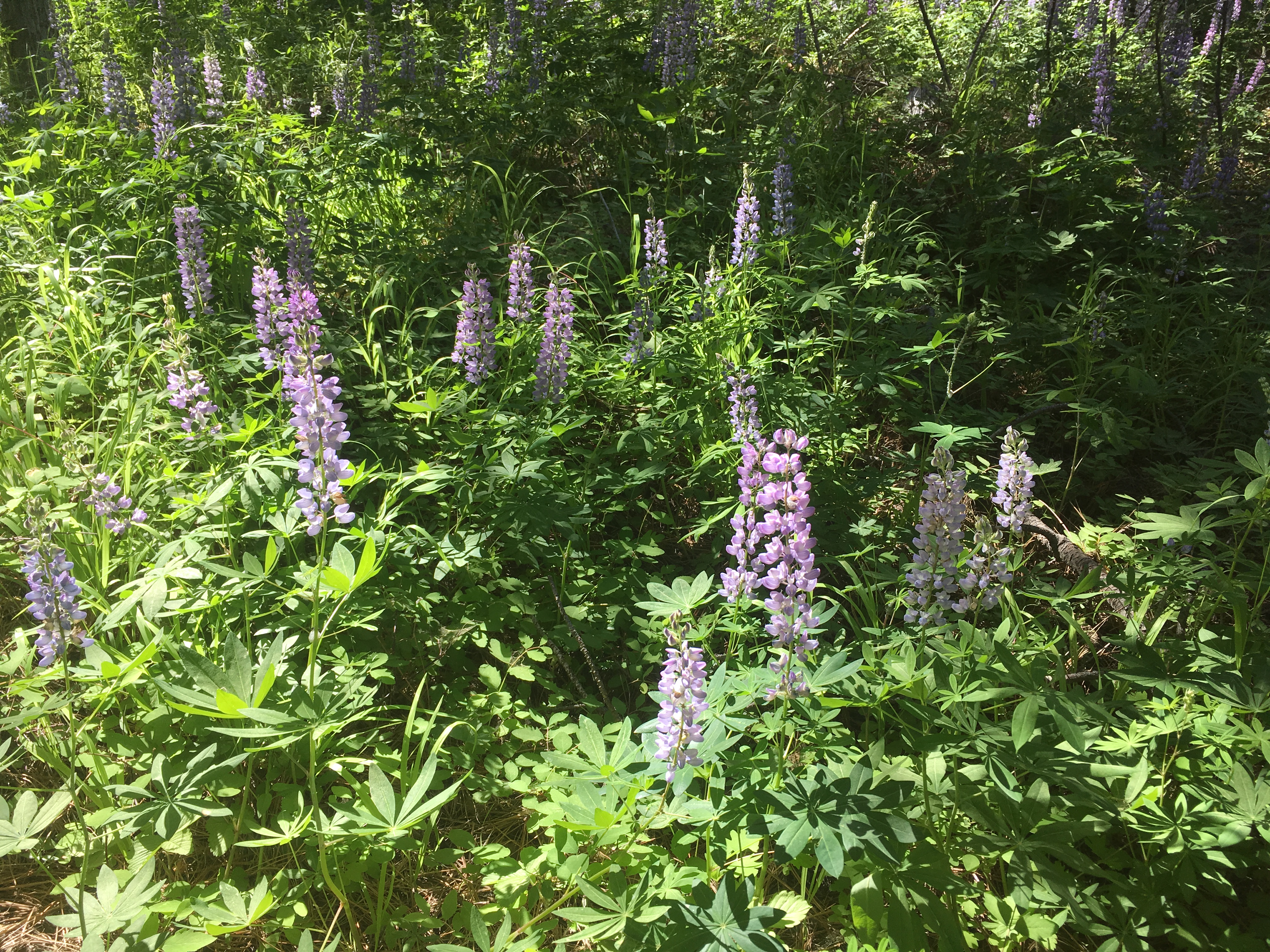
44 Trails mountain bike network - Bottle Prairie TrailIt’s wildflower season up the 44 Trails mountain bike network.

Trails are in prime condition right now! Beat the heat in Hood River and head to the Mt. Hood National Forest for some of the best trail conditions of the season.

The wild flowers are peaking and trails are riding great. We’ve got the bulk of the trail system cleared of downed trees and its just lingering high elevation spots and more remote trail sections (Boulder/Forest Creek/Gunsight Butte) that still have snow and/or blowdown. Lookout, Cooks, Knebal, Eightmile, Fifteenmile, Surveyors, Dog River, Bottle Prairie, etc are all good to go.

44 Trails mountain bike network wildflower season

44 Trails Conditions July 1 – High Elevation Status

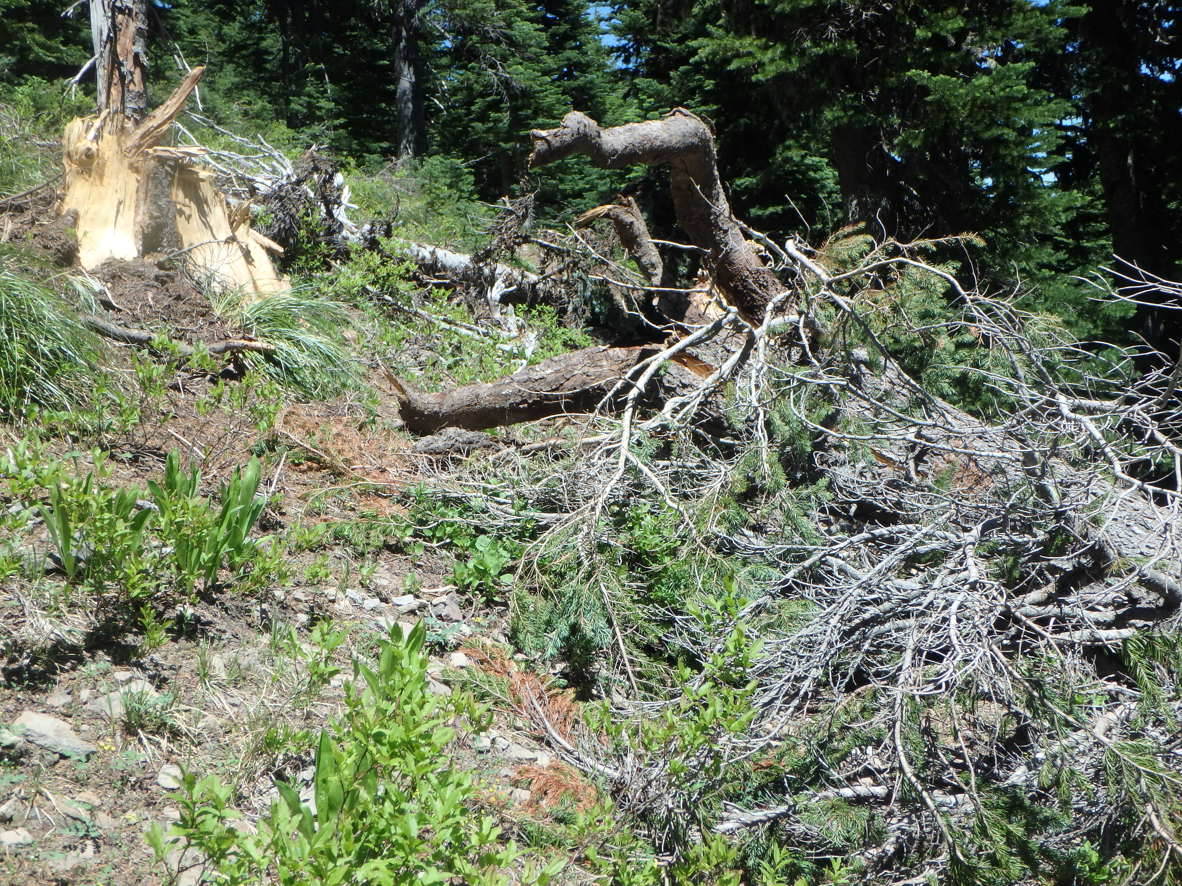
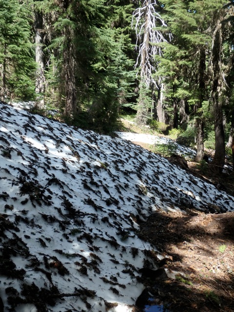
Hey 44 Trail mountain bikers, despite the summer heat the past couple of weeks, high elevation trails remain blocked by snow and blowdown; and we’re not just talking the occasional snow patch. Gunsight Butte trail #685 still has 3-5 foot snow berms and lots of trees down on the trail. Where snow is melted, there is standing/running water. There are even trees still embedded into the snow. It looks like the ridge got hammered with broken tops over the winter.
Our recommendation is to stay on the lower elevation trails until snow has a chance to melt further and we’ve had a chance to clear trees. Most of the roads are clear but the Bennett Pass road is still blocked by snow.
Here’s the latest 44 trails conditions report as of Saturday July 1, 2017:

The Best Singletrack Mountain Biking on the Mt Hood National Forest

Gunsight Ridge Trail #685 – Closed by significant snow and downed trees. 3-5 foot snow berms – Estimate 2-3 weeks before clear.

Boulder Lake / Forest Creek zone – Less snow but not yet maintained or cleared of trees

Cooks Meadow trail #639 –  Ridable with caution – a few downed trees – upper section has a few areas under construction but it’s open to ride – carry a hand saw and help cut out the lingering blowdown. Hope to have the few remaining trees cleared by July 4.
Lookout / #450 – Ridable with caution – 3-4 trees down and a few small snow patches – carry a hand saw and help cut out the lingering blowdown.

Knebal Springs Trail #474 – Cleared and OPEN 
Bottle Prairie Trail #455 – Cleared and OPEN 
Eightmile Trail #496 – Cleared and OPEN 
Oak Ridge Trail #688A – Cleared and OPEN
Super ConnectorCleared and OPEN
Dog River Trail # 675 – Cleared and OPEN
Surveyor’s Ridge Trail #688 – Cleared and OPEN
15 Mile / Cedar Creek loop trails #456/#457 – Clear and OPEN

gunsight mountain bike trailGunsight ridge mountain bike trails