Hospital Hill and Whoopdee Trail Fire Hazard Closure in Effect

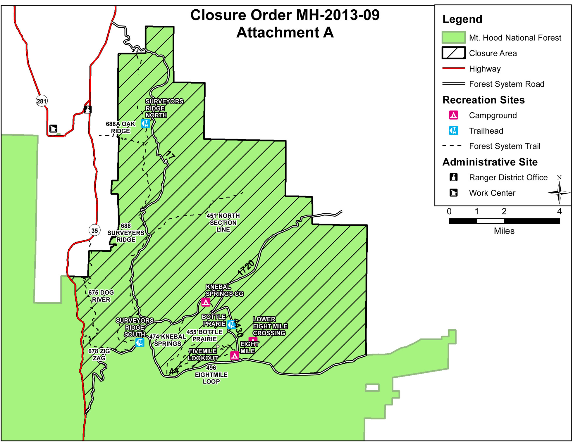
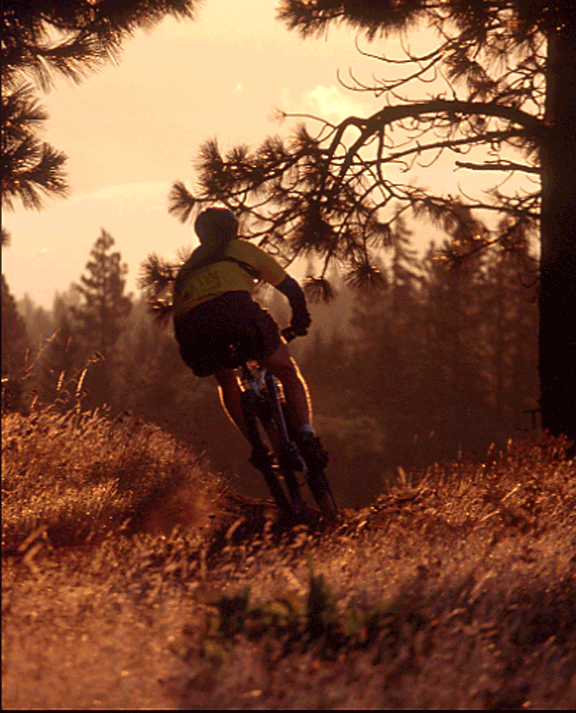
Hospital Hill and Whoopdee Mountain Bike Trails

Fire Hazard Closure in Effect as of Midnight August 4, 2017

SDS & Kreps announced the closure of their land as of August 5, 2017 due to fire danger. This means Hospital Hill/Jewett Creek trails and the Whoopdee on the Old Dalles Road are all closed until we get some significant precipitation. Please respect this closure and spread the word.

Here is the announcement…
Local timberland companies are announcing that due to conditions of high fire danger all lands in Klickitat, Skamania, Yakima, Hood River and Wasco Counties will be closed to public entry starting August 5, 2017 until further notice. This closure includes the areas of Burdoin Mountain (aka Hospital Hill) and Underwood Mountain as well as the Whoopdee on the Old Dalles Road in Hood River and affects all lands owned or managed by the following parties: American Forest Management (DGS Timber, LLC), Broughton Lumber Company, Hancock Forest Management (John Hancock Life Insurance and Manulife), Kreps Ranch, Kreps Family LLC, Stevenson Land Company (SDS), and Western Pacific Timber, LLC.

Fire Closure Still in Place

It looks like the USFS is going to maintain its existing fire closure for the foreseeable future. Sorry, but the 44 Trails area will be closed for the Labor Day holiday weekend.

The wet and cooler weather has definitely aided in the management and suppression of the Government Flats fire that lead to the road and trail closures but there is still work to be done and fire hazard in the area. The burn has been spotty in areas, which makes mop up efforts a bit more difficult to monitor assess.

What we need is a big multi-day rain cycle. In the mean time, check out rides on Gunsight ridge and the Boulder Lake zone. You can keep tabs on the fire updates at www.inciweb.org/incident/3662/

Latest Fire Closure Update for 44 Trails

USFS 44 Trails closure map

USFS 44 Trails closure map

West winds have cleared the smoke from the Hood River Valley, but the 44 Trails area is still effected by closures. As far as we know, the trails themselves have not been consumed by fire, but there will be active fire suppression efforts in the area and the threat of fire growth, so the USFS is going to keep the zone east and north of the 44 road off limits for a while.

Here’s the latest:

The Mt. Hood National Forest has announced the following closures:

The following campgrounds are closed: Knebal Springs, Lower Eight Mile Crossing, Eight Mile, and Gibson Prairie. Five Mile Lookout is also closed.

The following major trails are closed:

  • Surveyors Ridge # 688 both south and north trailheads
  • Eightmile Loop #496
  • Knebal Springs # 474
  • Bottle Prairie #455
  • North-South #451
  • Oak Ridge #688A
  • Dog River #675
  • Zig Zag #678

Forest Roads 17, 1720, 4430 and all their associated spur roads are closed along with and all other National Forest System Roads and minor trails within the closure area depicted on a map posted on InciWeb.org at http://inciweb.org/incident/maps/3662/