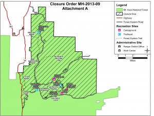
USFS 44 Trails closure map
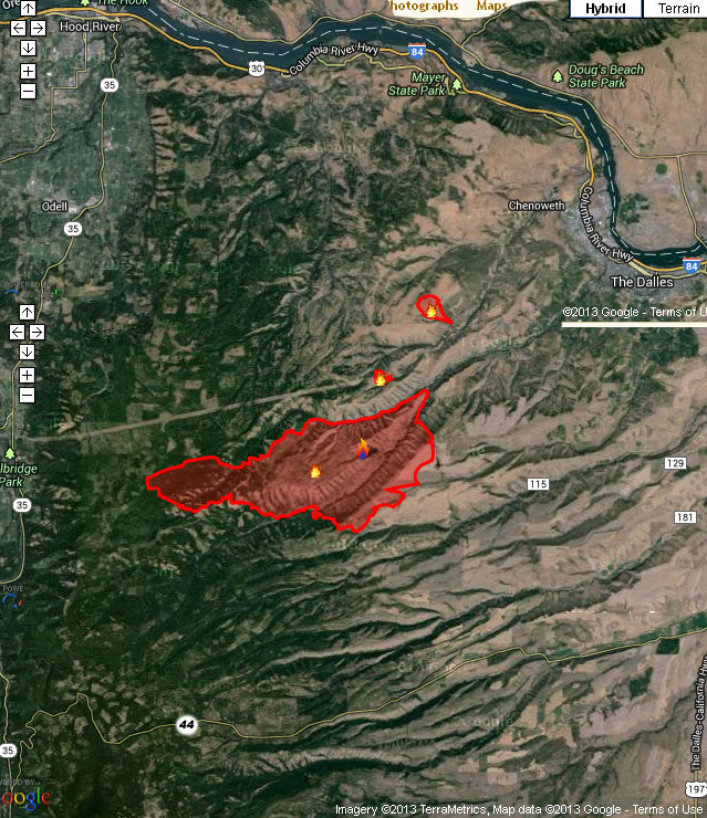
West winds have cleared the smoke from the Hood River Valley, but the 44 Trails area is still effected by closures. As far as we know, the trails themselves have not been consumed by fire, but there will be active fire suppression efforts in the area and the threat of fire growth, so the USFS is going to keep the zone east and north of the 44 road off limits for a while.
Here’s the latest:
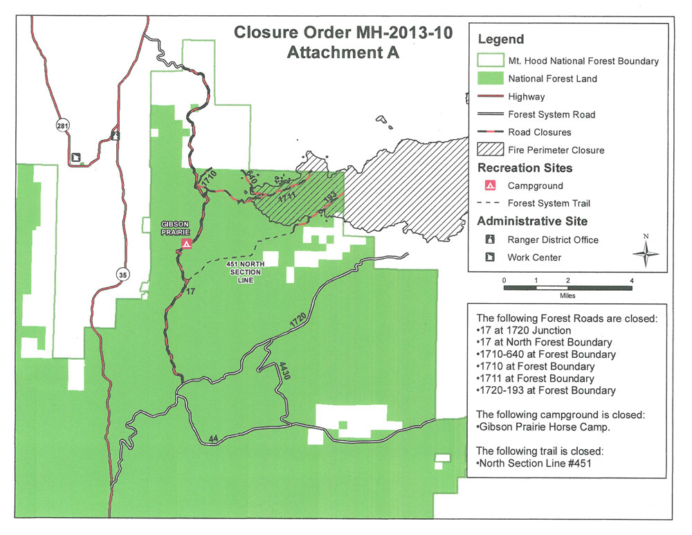
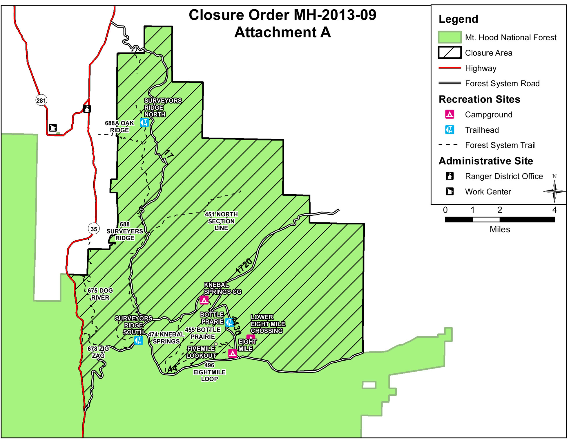
The Mt. Hood National Forest has announced the following closures:
The following campgrounds are closed: Knebal Springs, Lower Eight Mile Crossing, Eight Mile, and Gibson Prairie. Five Mile Lookout is also closed.
The following major trails are closed:
- Surveyors Ridge # 688 both south and north trailheads
- Eightmile Loop #496
- Knebal Springs # 474
- Bottle Prairie #455
- North-South #451
- Oak Ridge #688A
- Dog River #675
- Zig Zag #678
Forest Roads 17, 1720, 4430 and all their associated spur roads are closed along with and all other National Forest System Roads and minor trails within the closure area depicted on a map posted on InciWeb.org at http://inciweb.org/incident/maps/3662/