8-Mile Parking – temp closure

IMG_4016Hey everyone, the 8-Mile trail parking area (just off 44 road, across from the 450 trail) will be closed on Thursday, August 14 while the USFS works to remove some standing dead trees.

All trails remain OPEN for riding! If you find yourself in the area on Thursday, be sure to give the tree crew the space they need. Thanks!

Trail Work Results

Thank you to everyone who supported our June 14 trail work day! The USFS supplied 10+ yards of reject (gravel) and the 44 Trails crew worked to armor weak spots on the new Super Connector trail linking Knebal Springs to Surveyor’s Ridge. New York City Subs provided lunch and Dog River Coffee set us up with our morning fix!

We made made good progress moving the reject material and saw loads of riders using the trail. It’s great to see the word is getting out and people are riding the new connection.  Next work day is July 26!

Here’s a few photos from the day.


Trail Conditions Update 6/4

While Mother Nature has been melting snow and drying out access to the 44 Trail zone, log clearing stud Paul Gundlach has been cutting through blow down on the 450 trail. 450 is now clear to the junction with 15-Mile at the meadow. Thanks Paul!

Roads 4410 and 4420 are also now open to vehicle traffic.

What’s next you ask? Attention turns to clearing downed trees on Boulder Lakes!

Trail Conditions Update 5/23

44 Trails AssociationThanks to the hard work of our favorite USFS Ranger, Jim Thornton, and some skilled 44 Trails Association volunteers (Paul Gundlach and Dana Hale!), 8-Mile trail, Knebal Springs trail, the Super Connector, Bottle Prairie trail and 15-Mile/Cedar creek are open to USFS spec and ready for riding! You’ll still encounter a few isolated single logs, but the big blow-down sections have been cleared!

As for High Prairie and 450 up higher, it’s still a no go. Too much snow and water on the tread (see photos). So please stay off the trails to avoid permanent tread damage.

You can also check out the Camas, Clear Creek, Rim Rock (connects at Clear Creek CG) and Bear Springs race course trails – all in the Barlow District on the east side.

Check the fed web site for beta on these trails. http://www.fs.usda.gov/recarea/mthood/null/recarea/?recid=52772&actid=34

Clear Creek trail

Camas Trail

If you’re keen to help with continued clearing efforts, reach out via e-mail to us and we’ll connect you with the ranger to make a plan.

Trail Work Schedule

Sweet new trail signs!

Sweet new trail signs!

The dirt is top notch in the Gorge right now and the riding season for Mount Hood’s 44 Trails area is fast approaching. As of May 8, there is still some lingering snow and plenty of downed timber on the upper trails accessible from Forest Road 44. Typically, the bulk of the system will be cleared and ready to enjoy come Memorial Day Weekend.

In the meantime, we’ve set a schedule for summer trail work parties to keep our mission of maintenance and expansion moving forward. Please mark these dates in your calendars and join us when you can. We strive to work for 4-5 hours in the morning and then enjoy an afternoon trail session, so you don’t have to give up a day of riding! More details about each event will be provided as the date nears and as we evaluate trail needs:

June 14 – Celebrate National Trails Day with a 44Trails work party – (Nat. Trails Day is actually June 7, but our event will be on June 14)

July 26 -Mid summer work day to armor and maintain high-traffic areas

October 4 – TBA Special Event – riding related event to thank everyone for all their support

October 18 – Final trail day before winter transforms the forest floor

Although random acts of kindness in helping to clear the trails is appreciated, all significant clearing and trail work needs to be organized through the USFS to maintain trail standards. The process on 44 Trails is different from that in Post Canyon or Sandy Ridge, and we need your help adhering to this policy. We have a great relationship with the Mt. Hood and Barlow Ranger Districts, and we aim to keep it that way. If you have time and energy to help with trail work, please reach out to us. We have ongoing opportunities to help clear and maintain the trails outside of our scheduled events. Give us a shout and we can connect you with the details.

Super Connector Success

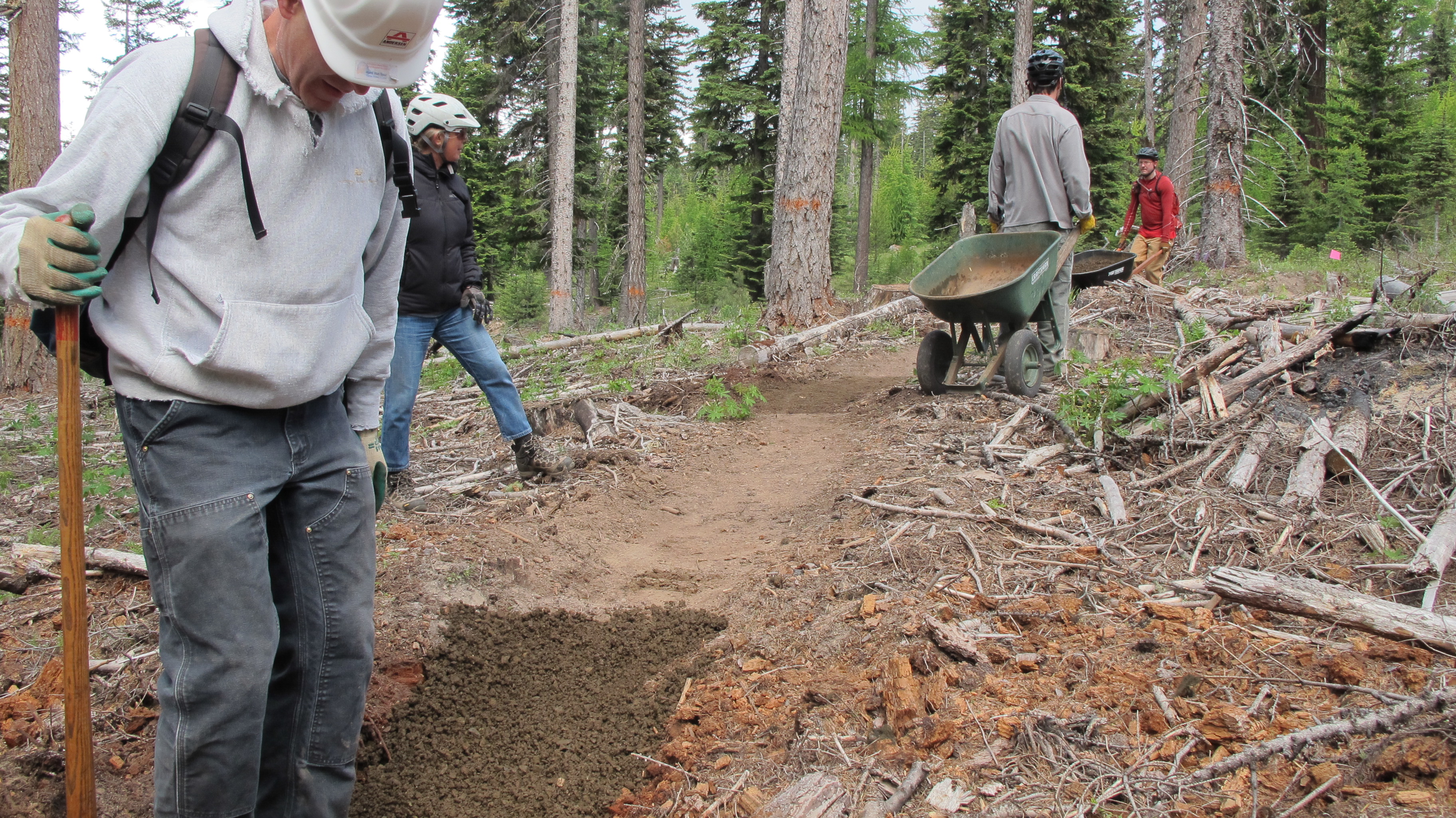
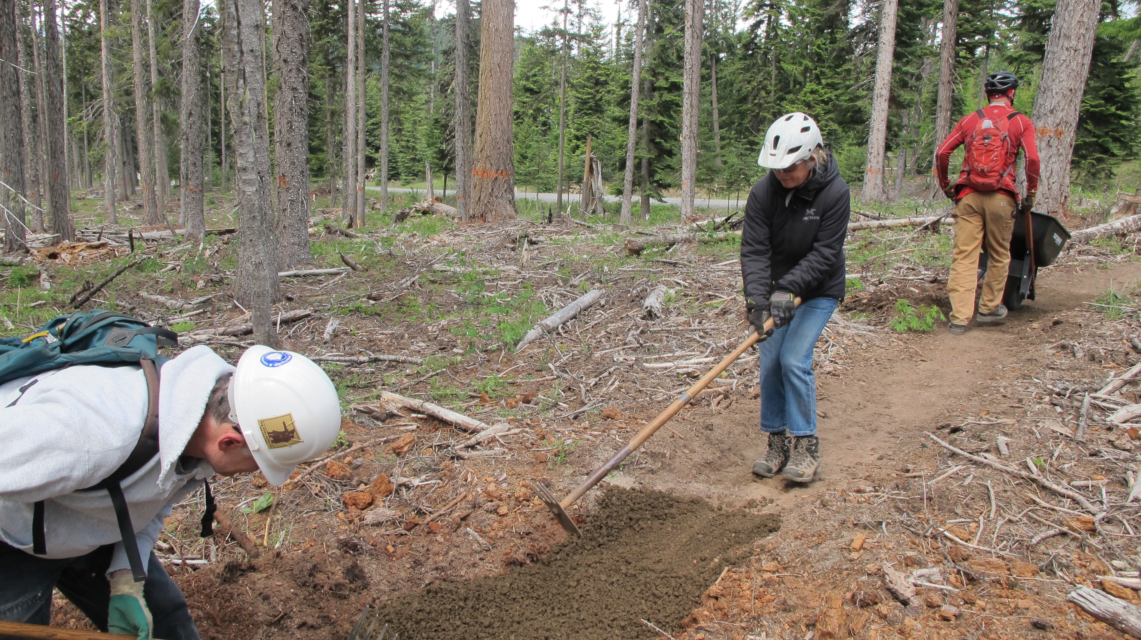
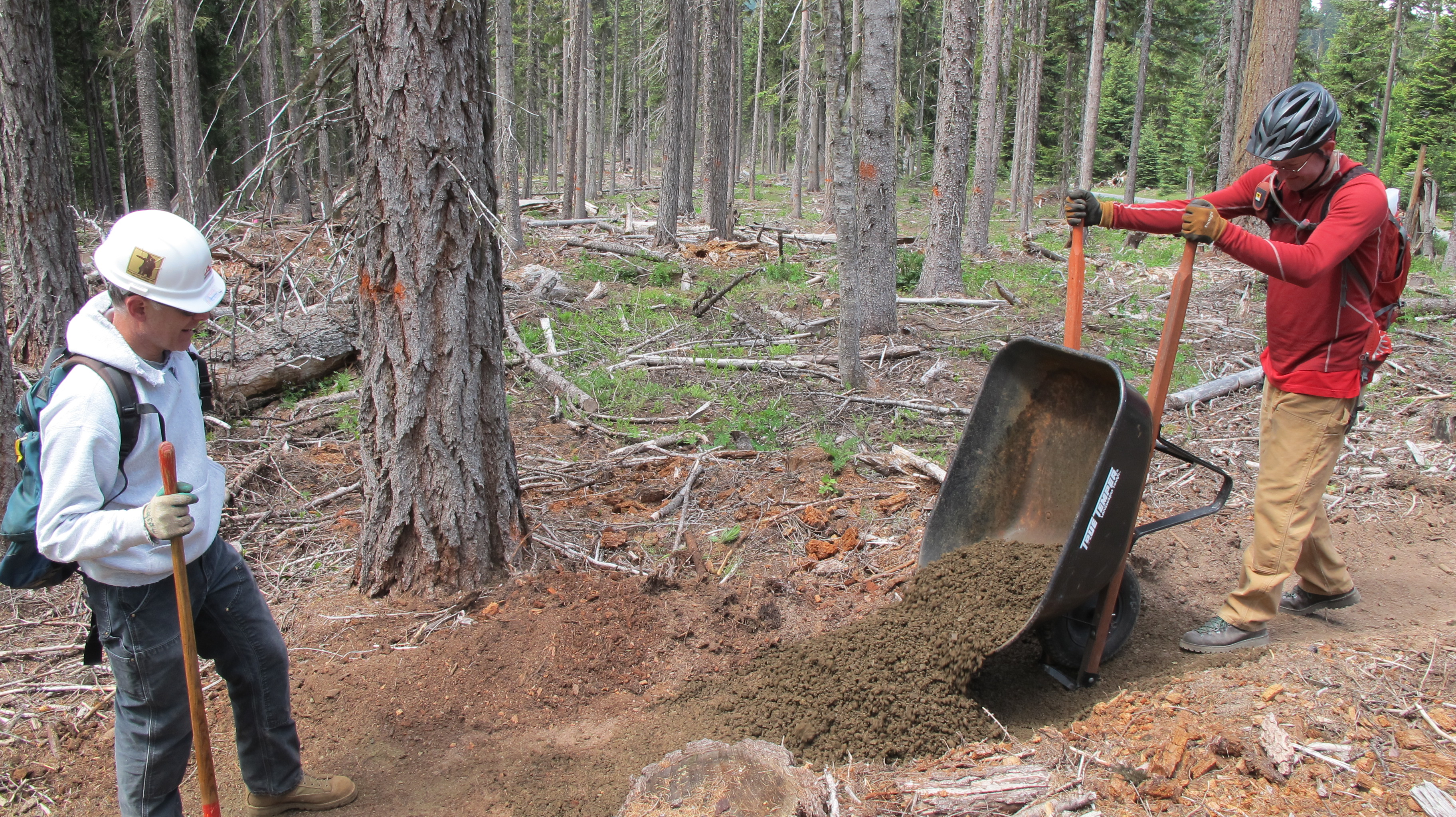
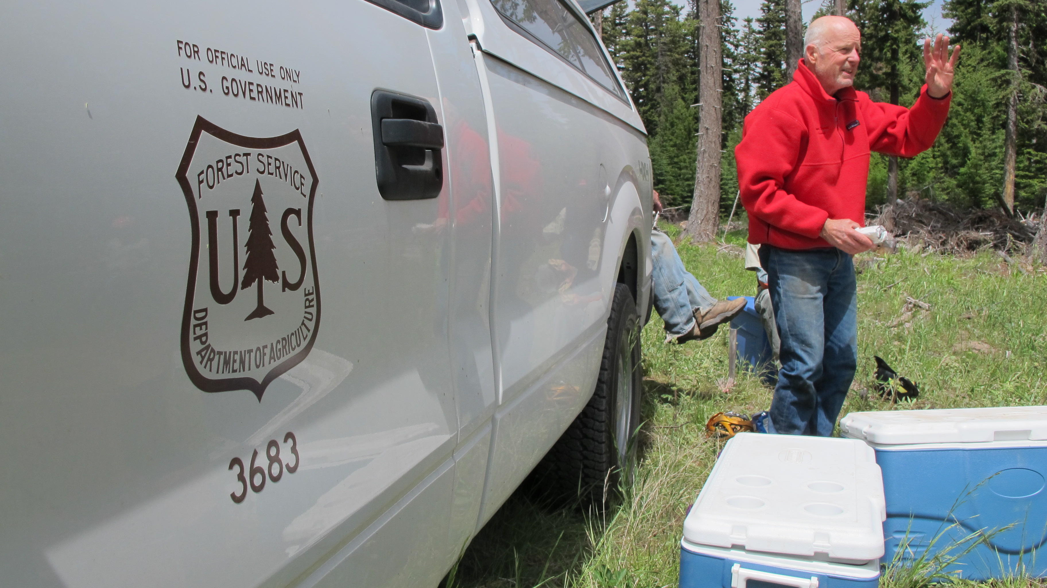
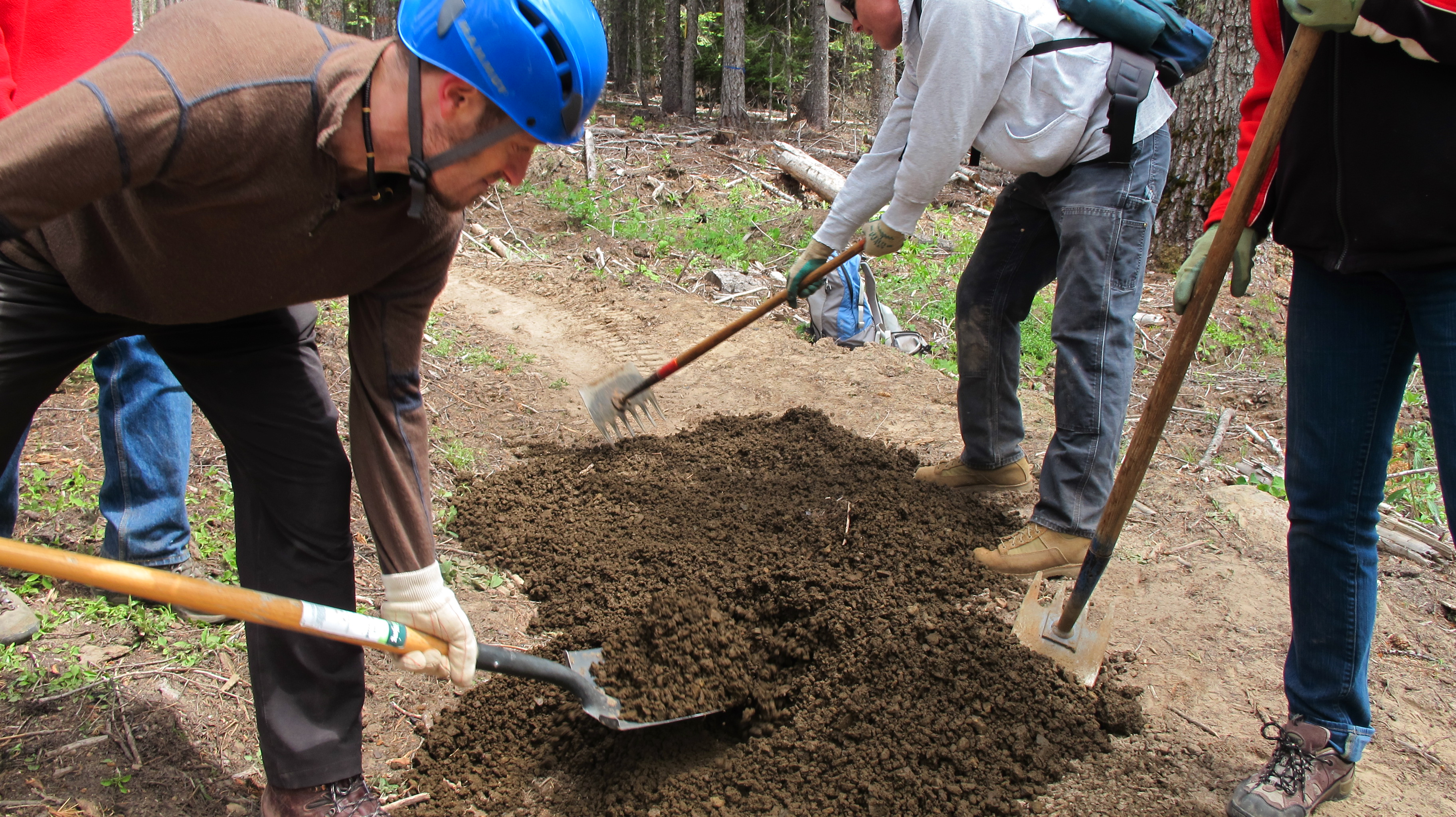
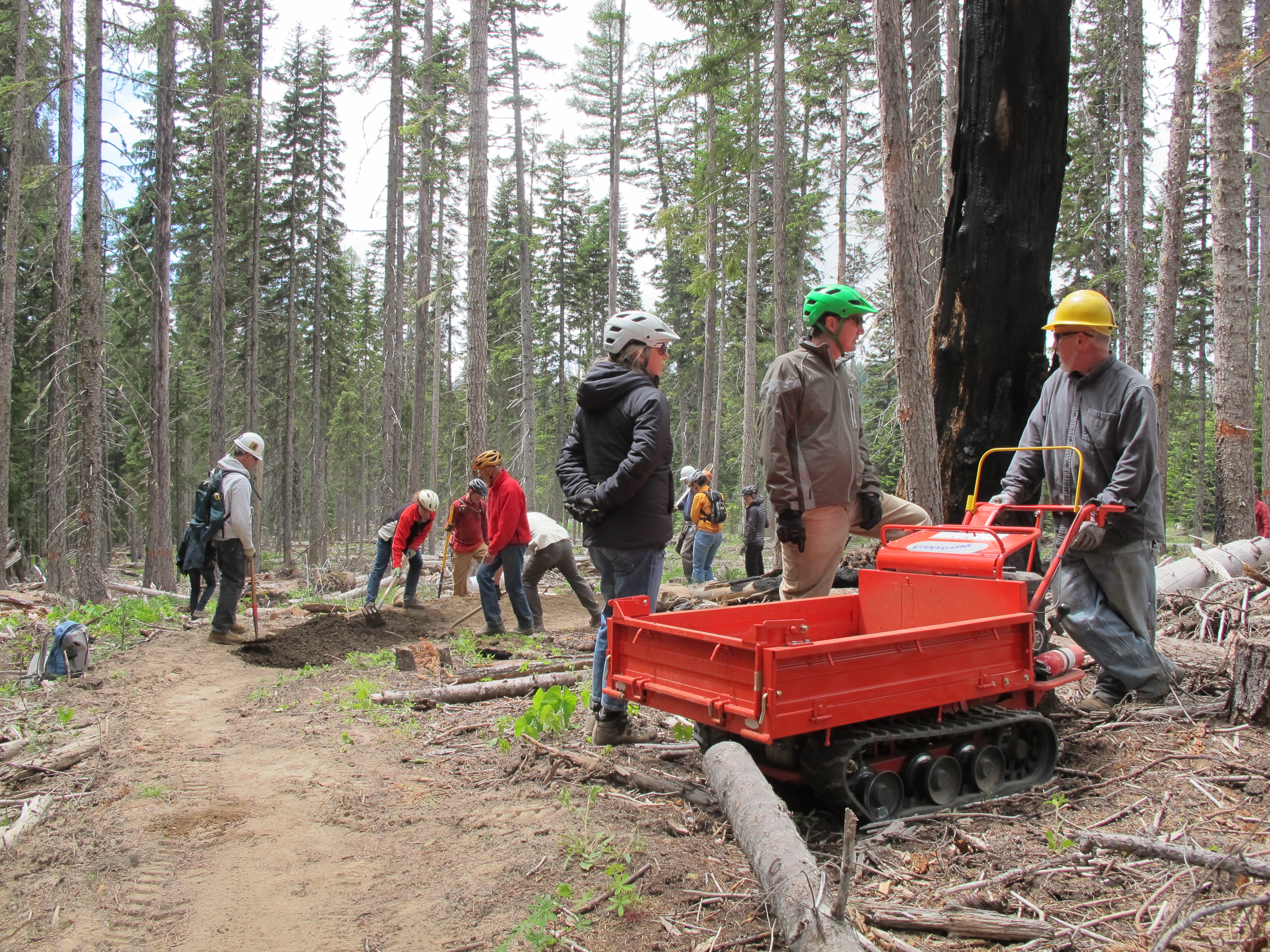
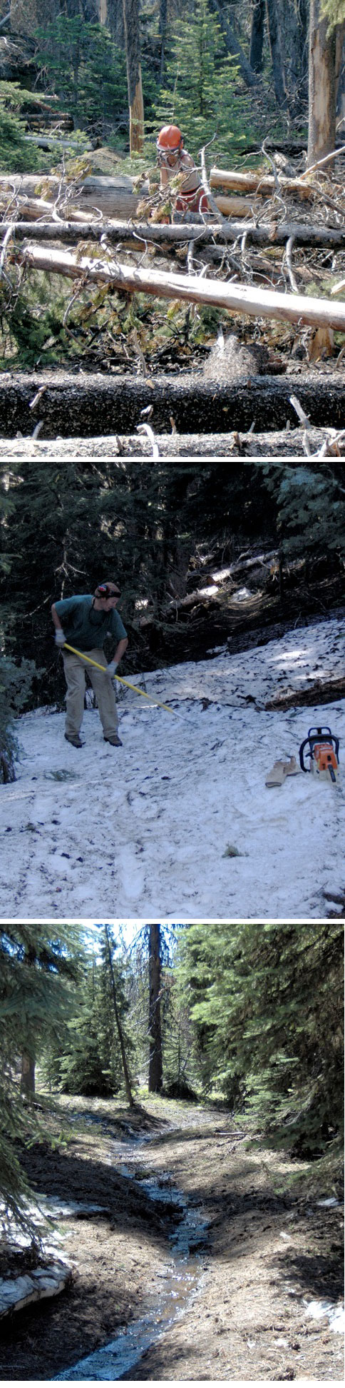
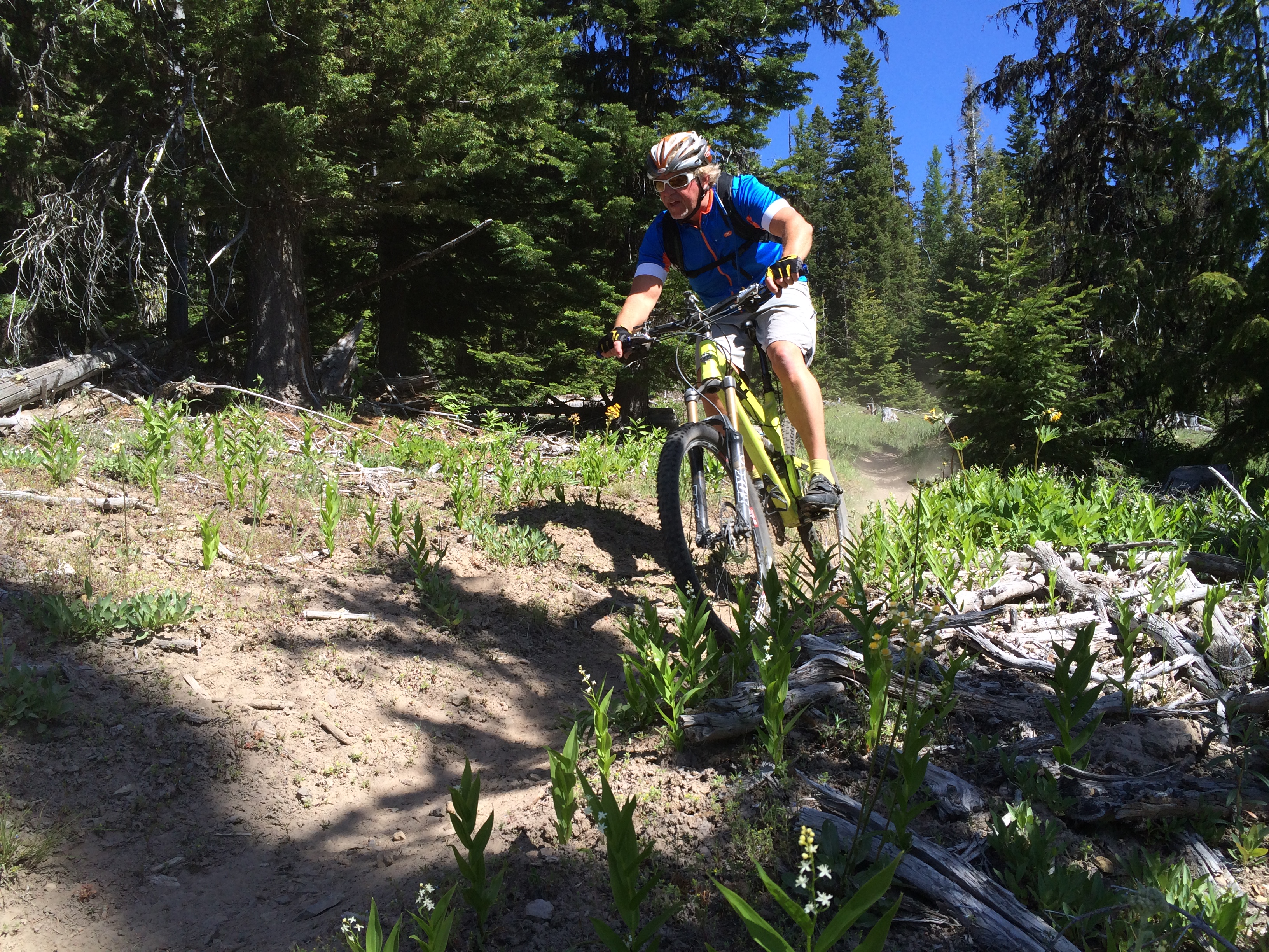
Wow, what a crew that turned out on Saturday to support the 44 Trails Association! We had a beautiful day in the hills on our third work party of the summer for continued work on the new Super Connector Trail linking Knebal Springs and High Prairie with the classic Surveyor’s Ridge and Dog River mountain bike trails. Forty volunteers dedicated five hours each on Saturday to add another 200 volunteer labor hours to the Super Connector Project!

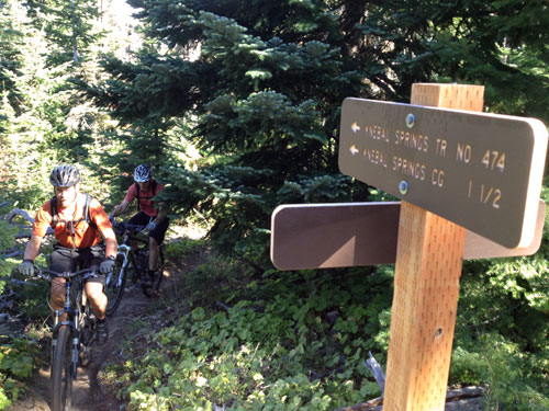
In addition to nearing completion of the Super Connector trail, we successfully installed a new cedar trailhead sign board (built by Hale Construction of Hood River) that meets USFS spec. The new sign is located near the 1720 and 17 roads junction (near the parking zone on the 17 road).

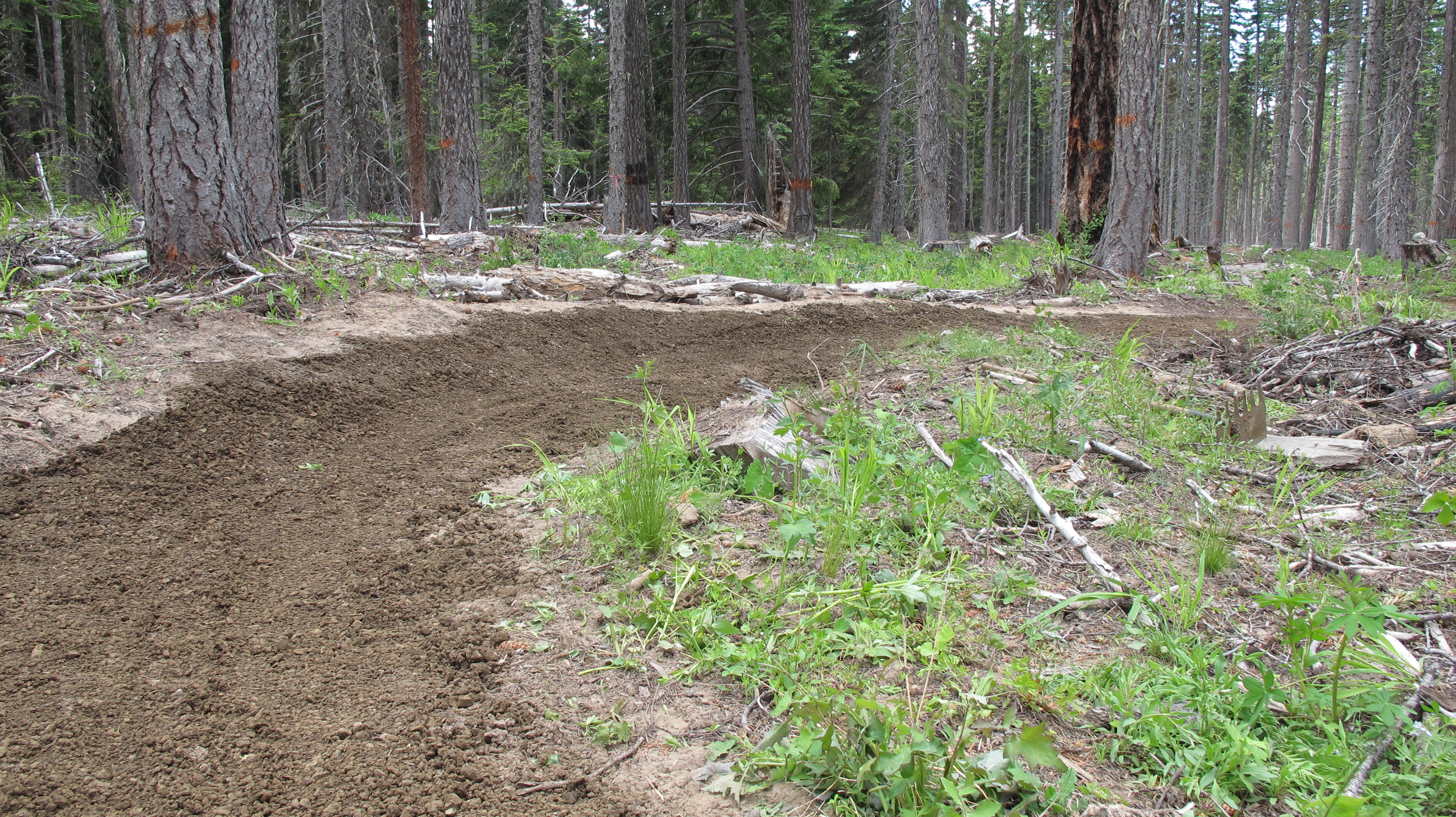
All told, the 44 Trails Association has rallied over 600 hours of volunteer labor this summer, completed 3.5 miles of new trail and built and installed a new trailhead sign board. The project would have cost $40,000-$70,000 had it been put out to bid using the standard 10-20K per mile cost normally incurred building trails.

Here are some impressive specs on the work and results of the summer’s efforts:

Total volunteer labor hours for three work parties, layout and design:
120 people x 5 hrs each = 600 man hrs! That’s $9,000 worth of labor!

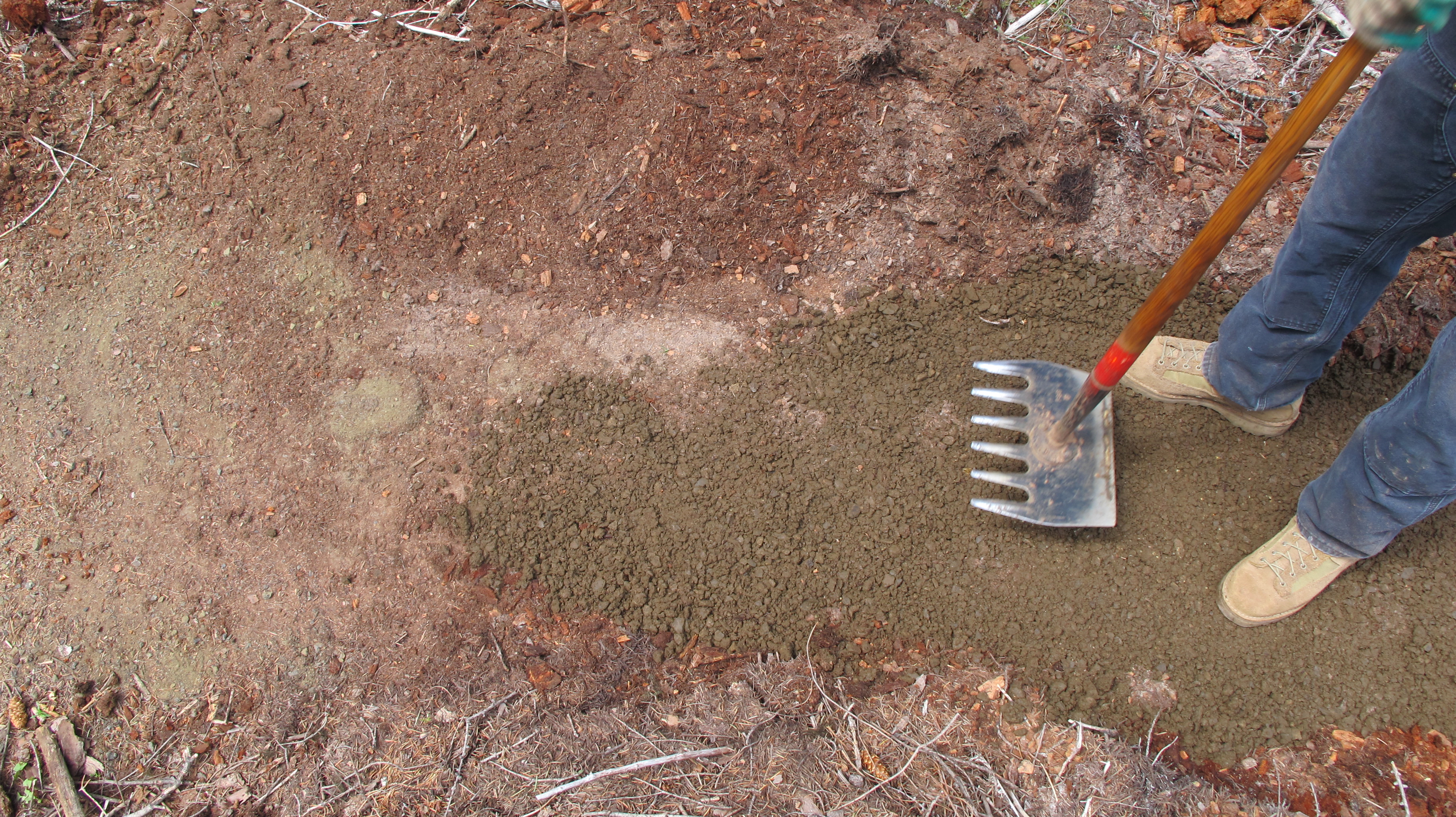
Tangible Results: Three volunteer work parties successfully constructed 3.5 miles of trail, built and installed new trail head board, installed armoring rock work and moved 20 yards of reject armoring material to help maintain tread integrity for multi-use traffic – horse, hiker and biker!

Local business contributions:
Hale Construction materials and labor for trailhead board = $1500
New York City Sub Shop provide 60 lunches at a cost of $7/each = $420
Dog River Coffee provided morning coffee for all three events = $300
Dakine, Dirty Fingers Bikes, and Sellwood Cycle provided raffle items = $1500+. Dirty Fingers Bikes, Sellwood Cycle and Mt Hood Ski Bowl paid employees to be on site to provide assistance.

Total Volunteer contribution labor hours, materials, supplies = $15,000+. Way to go everyone who has kicked in time and resources!

The trail is not quite 100% complete, but Ranger Thornton has some time slated this fall for the required finishing touches including working with local Eagle Scouts on the trail September 22.

44 Trails Area is Open for Riding!

Updated fire closure map

Updated fire closure map

The 44 Trails zone on the Mount Hood National Forest is open for riding!

Thanks to favorable weather conditions and the efforts of wildland fire crews, the 44 zone is accessible again.

The 17 road remains closed, but 8-Mile, Knebal Springs and the rest of the 44 Trails are open for riding. Ranger Thornton was up in the area on Thursday and said there is moisture in the dirt and the trails are in great shape.

Here is the latest closure info:

Latest Fire Closure Update for 44 Trails

USFS 44 Trails closure map

USFS 44 Trails closure map

West winds have cleared the smoke from the Hood River Valley, but the 44 Trails area is still effected by closures. As far as we know, the trails themselves have not been consumed by fire, but there will be active fire suppression efforts in the area and the threat of fire growth, so the USFS is going to keep the zone east and north of the 44 road off limits for a while.

Here’s the latest:

The Mt. Hood National Forest has announced the following closures:

The following campgrounds are closed: Knebal Springs, Lower Eight Mile Crossing, Eight Mile, and Gibson Prairie. Five Mile Lookout is also closed.

The following major trails are closed:

  • Surveyors Ridge # 688 both south and north trailheads
  • Eightmile Loop #496
  • Knebal Springs # 474
  • Bottle Prairie #455
  • North-South #451
  • Oak Ridge #688A
  • Dog River #675
  • Zig Zag #678

Forest Roads 17, 1720, 4430 and all their associated spur roads are closed along with and all other National Forest System Roads and minor trails within the closure area depicted on a map posted on InciWeb.org at http://inciweb.org/incident/maps/3662/