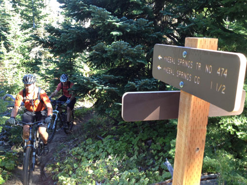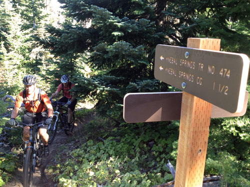
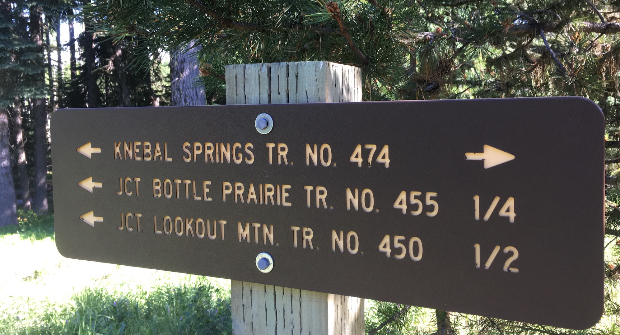
Sweet new trail signs!
The dirt is top notch in the Gorge right now and the riding season for Mount Hood’s 44 Trails area is fast approaching. As of May 8, there is still some lingering snow and plenty of downed timber on the upper trails accessible from Forest Road 44. Typically, the bulk of the system will be cleared and ready to enjoy come Memorial Day Weekend.
In the meantime, we’ve set a schedule for summer trail work parties to keep our mission of maintenance and expansion moving forward. Please mark these dates in your calendars and join us when you can. We strive to work for 4-5 hours in the morning and then enjoy an afternoon trail session, so you don’t have to give up a day of riding! More details about each event will be provided as the date nears and as we evaluate trail needs:
June 14 – Celebrate National Trails Day with a 44Trails work party – (Nat. Trails Day is actually June 7, but our event will be on June 14)
July 26 -Mid summer work day to armor and maintain high-traffic areas
October 4 – TBA Special Event – riding related event to thank everyone for all their support
October 18 – Final trail day before winter transforms the forest floor
Although random acts of kindness in helping to clear the trails is appreciated, all significant clearing and trail work needs to be organized through the USFS to maintain trail standards. The process on 44 Trails is different from that in Post Canyon or Sandy Ridge, and we need your help adhering to this policy. We have a great relationship with the Mt. Hood and Barlow Ranger Districts, and we aim to keep it that way. If you have time and energy to help with trail work, please reach out to us. We have ongoing opportunities to help clear and maintain the trails outside of our scheduled events. Give us a shout and we can connect you with the details.

 The Mt. Hood National Forest is reopening most developed day-use and trailhead sites to recreational users beginning Friday May 29, 2020. This includes the 44 mountain bike trails!