
 The latest edition of the Federal Government’s spending bill includes an extensive sell-off of public lands.
The bill identifies millions of acres of National Forest and Bureau of Land Management lands that could be sold to private interests (including the 44 Trails zone), along with the weakening of environmental safeguards in place to limit resource extraction on all public lands.
The bill forces the arbitrary sale of at least two million acres of Forest Service and BLM lands in 11 Western states over the next five years, and it grants the secretaries of the Interior and Agriculture broad discretion to determine which areas should be sold.
The Wilderness Society has detailed information on the Senate bill as well as a map of potential public lands for sale.
Speak Up for Public Lands
Speak up for your National Forests and BLM land. Lawmakers need to hear from you, the public, on how you want public lands managed.The Outdoor Alliance makes it easy to share your opinion. Speak up now.
Direct link to full-screen map of public lands for sale by the Wilderness Society
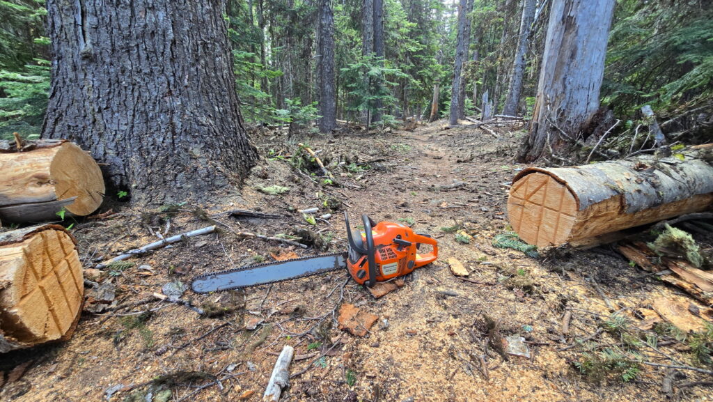 UPDATE: More Trails Clear as of 6/18/25

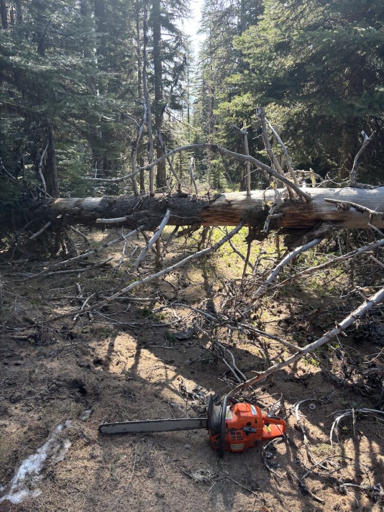 UPDATE: More Trails Clear as of 6/4/25
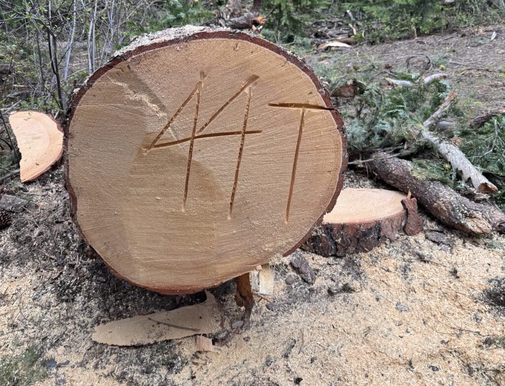 UPDATE: More Trails Clear as of 5/29