
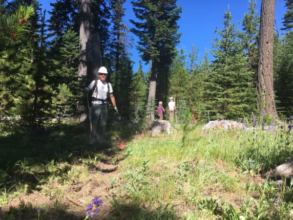
Surveyor’s Ridge Re-Route Project June 9

Surveyor's Ridge TrailThe Surveyor’s Ridge Reroute Continues on Saturday June 9
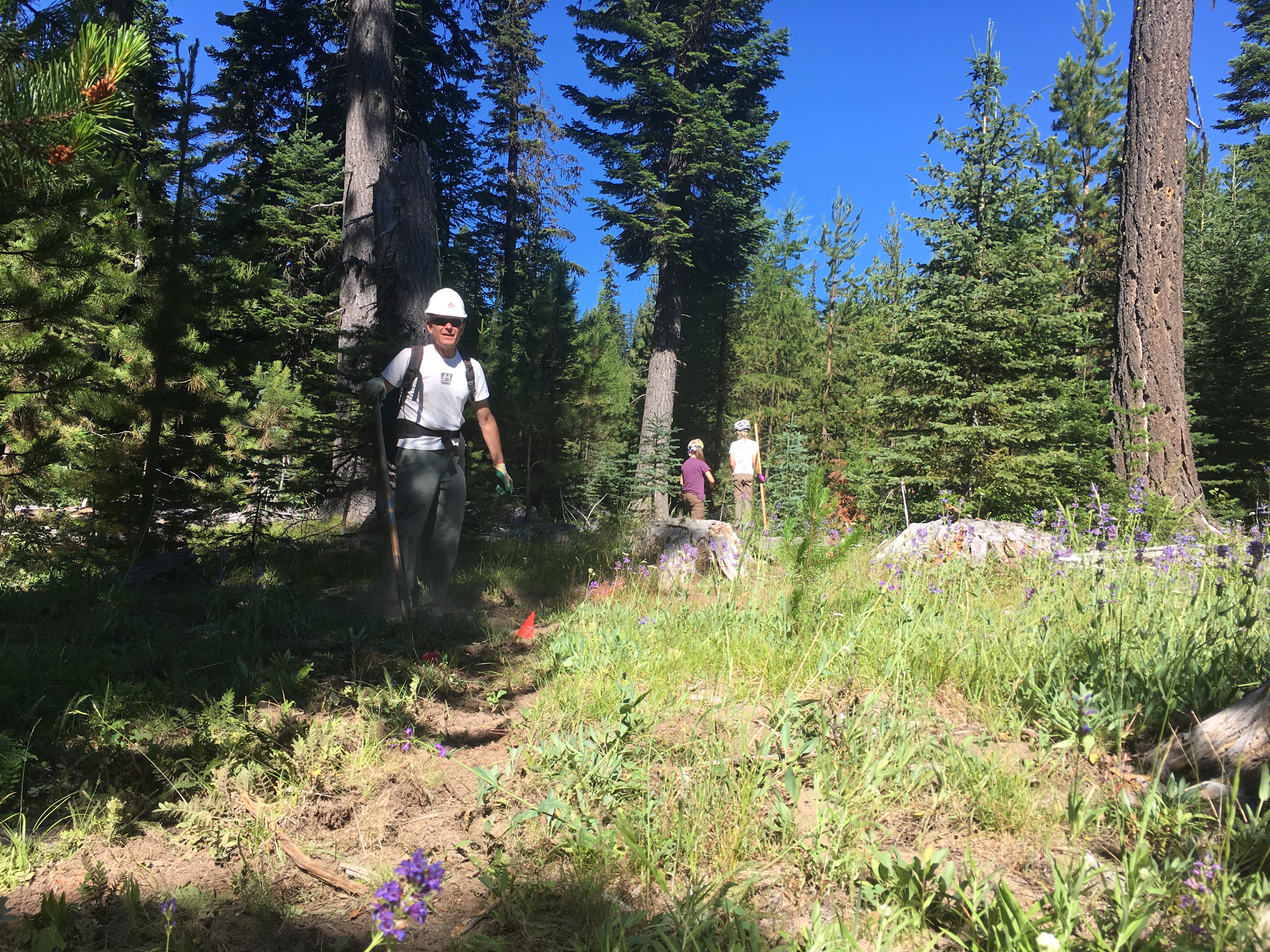
Oh yeah, we’re still working on the Surveyor’s Ridge re-route. Come on up tot he 44 Zone on Saturday, June 9 to lend a hand. Can’t make it? Make a donation! 

The new route adds single track miles and reroutes the trail away from The Dalles Watershed Pipeline, which is about to get replaced, thus disrupting the original Surveyor’s route. READ MORE about the Surveyor’s Ridge Reroute Project and check out project map.

Trail Work Day – Surveyor’s Ridge Reroute Project SATURDAY JUNE 9, 2018

REQUIRED EQUIPMENT:
Hardhats (bike helmets ok), long pants, work gloves and work boots, water. 

WHEN: 
Saturday, June 9, 2018 @ 9am – 2pm (plenty of time for a post-work-project ride)
Meet 9am @ Little John SnoPark on Highway 35
We’ll have coffee thanks to Dog River Coffee in HR and sign-in at the SnoPark and then move up to the work site as a group. Lunch will be provided by NY City Subs in Hood River.

PROJECT:
Handbuilt singletrack on Surveyor’s ridge re-route. We will be doing rough in and route trimming/clearing.

TOOLS:
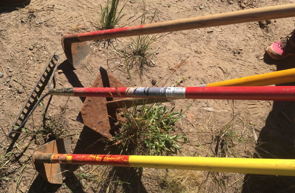
Surveyor's RidgeHelmet/hardhat (bike helmets ok), long pants, gloves, and work boots required.
Hand tools only – Flat Shovels, McLeods, Metal Rakes, loppers, Pulaskis  (NO chainsaws necessary).
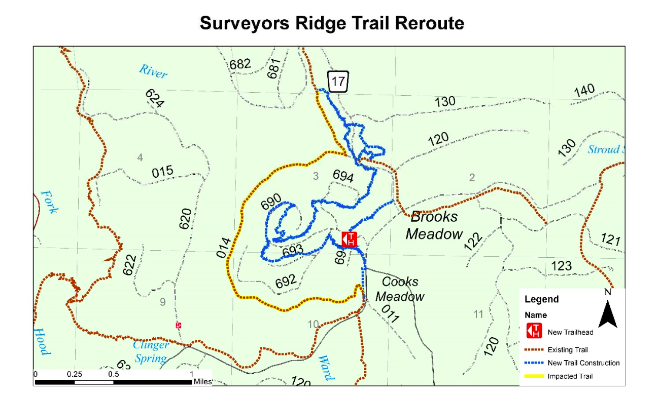
 

Surveyor's Ridge Trail Reroute

Here is the map showing the approximate route of the Surveyor’s Ridge trail project. The existing trail (yellow) will be disrupted by the new pipeline – the new route (blue) shows the tentative routes to connect with the SuperConnector (brown) near the 17 Road.
 

44 Trails Conditions for Memorial Day Wknd 2018

44 Trails Conditions Report 5/24/18
Singletrack Mountain bike trails on the Mt. Hood National Forest

Surveyors Ridge Mt Bike trailThe long weekend is here and conditions up in the 44 zone are great! Here is a list of trails that have been cleared in the last two weeks:

Surveyor’s Ride
8-Mile
Knebal SPrings
Bottle Prairie
Super Connector
Dog River
Lower Cooks Meadow

Snow is still patchy above 4500 feet, especially in shaded/north-facing areas. Please use good judgment and refrain from riding muddy trails. Knebal Springs Mountain bike trail


44 Trails Summer Trail Work Schedule – help finish the new Surveyor’s Ridge Singletrack

Mountain bike season is warming up in the lower Hood River Valley with excellent trail conditions from Post Canyon to Syncline. It will be another six weeks or more before the 44 single track trails are snow-free and ready to ride but we have our work schedule.

May 12 – Surveyor’s Ridge – the new single track connector is almost done – but we need your help to connect it all.

June 9 – Likely a second work day to get the new Surveyor’s single track fully rideable

Sept 22 – TBA

Oct 20 – TBA

Lots of new signage for the 44 trails ready for installation too!

44 trails single track mountain biking

Timothy Lake Area Trails – PGE trail user survey

timothy lake mountain bike trailsIf you have ever been to Timothy Lake, you are likely familiar with the fact that Portland General Electric (PGE) manages some of the area. In fact, PGE manages about 25 miles of mixed use trails—a majority of which are open to mountain biking.

PGE is undertaking a management plan update and are reaching out to the mountain bike community to get some feedback and further guide their process.

Take the PGE Timothy Lake area trails survey!
https://www.surveymonkey.com/r/X8MM375 

Timothy Lake mountain bike trailsHere are a few words from PGE about the project:

PROEJCT SUMMARY:  As a park of Portland General Electric’s (PGE) Recreation Resource Management Plan, we are planning, conducting, and completing improvements to the Timothy Lake trail system in the Mount Hood National Forest.

Projects will include the following:

  • Construction of four smaller trails to create hiking and mountain biking loops off the main Timothy Lake trail.
  • Overhaul of the trail wayfinding system around Timothy Lake.
  • Creation of an adopt-a-trail program for trail maintenance.
  • Reduction of user conflicts on the trails through signage, reroutes, and new trail construction.
  • Improvement of the overall condition of the trails:  Removal of safety hazards, mitigation of resource damage, repair of structures, restoration trail tread and travel corridor.

PROJECT TIMELINE:  In 2017 and 2018, PGE will be conducting trail condition assessments, surveying trail users, compiling data, and collaborating with stakeholder groups for the Timothy Lake Trail Improvements Implementation Plan.  In 2019, PGE will submit a completed implementation plan.  The plan will include a 5 to 6-year phased approach to trail improvements and construction.  All improvements will be completed by the end of 2025.