 The Surveyor’s Ridge Reroute Continues on Saturday June 9
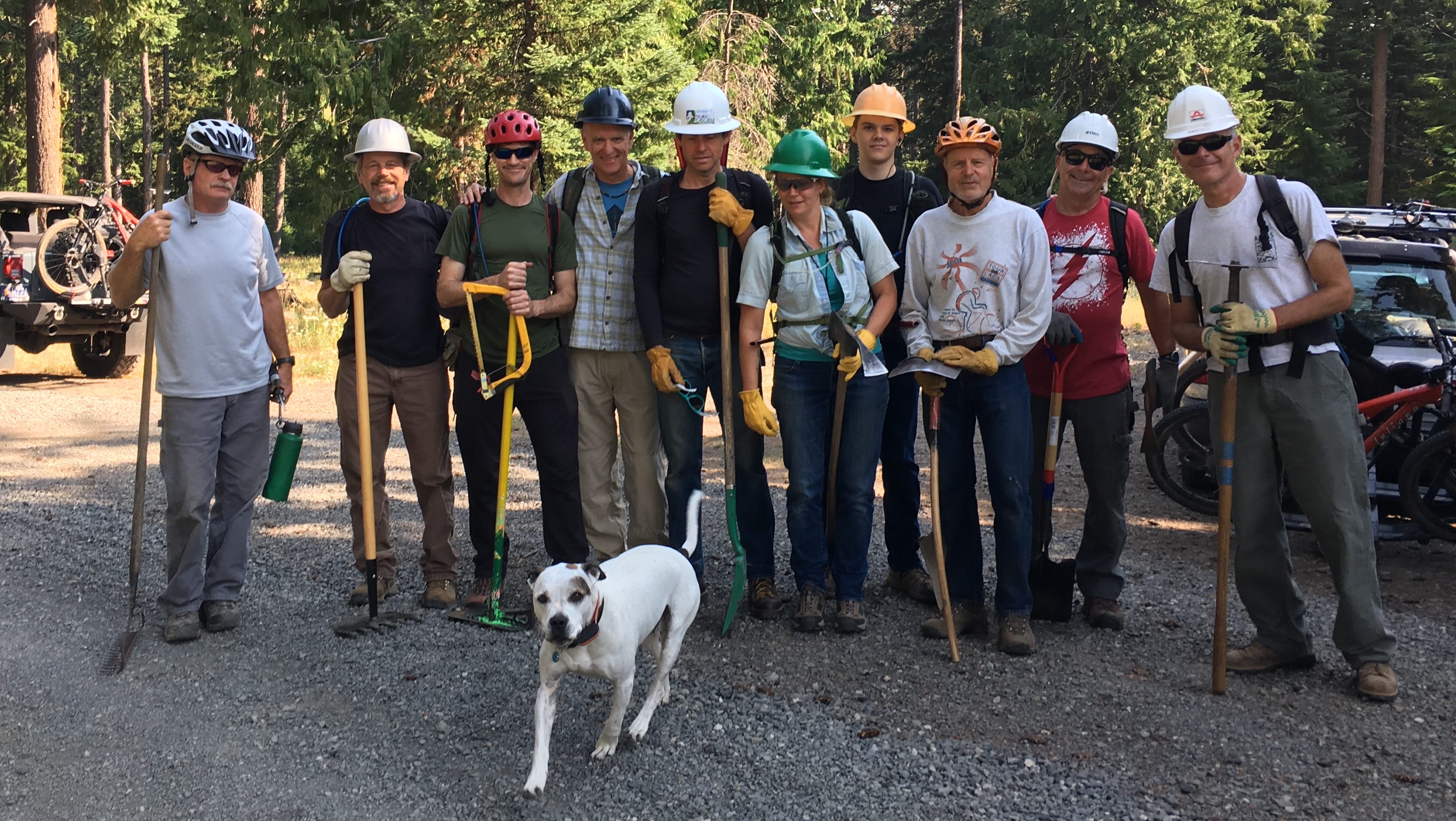
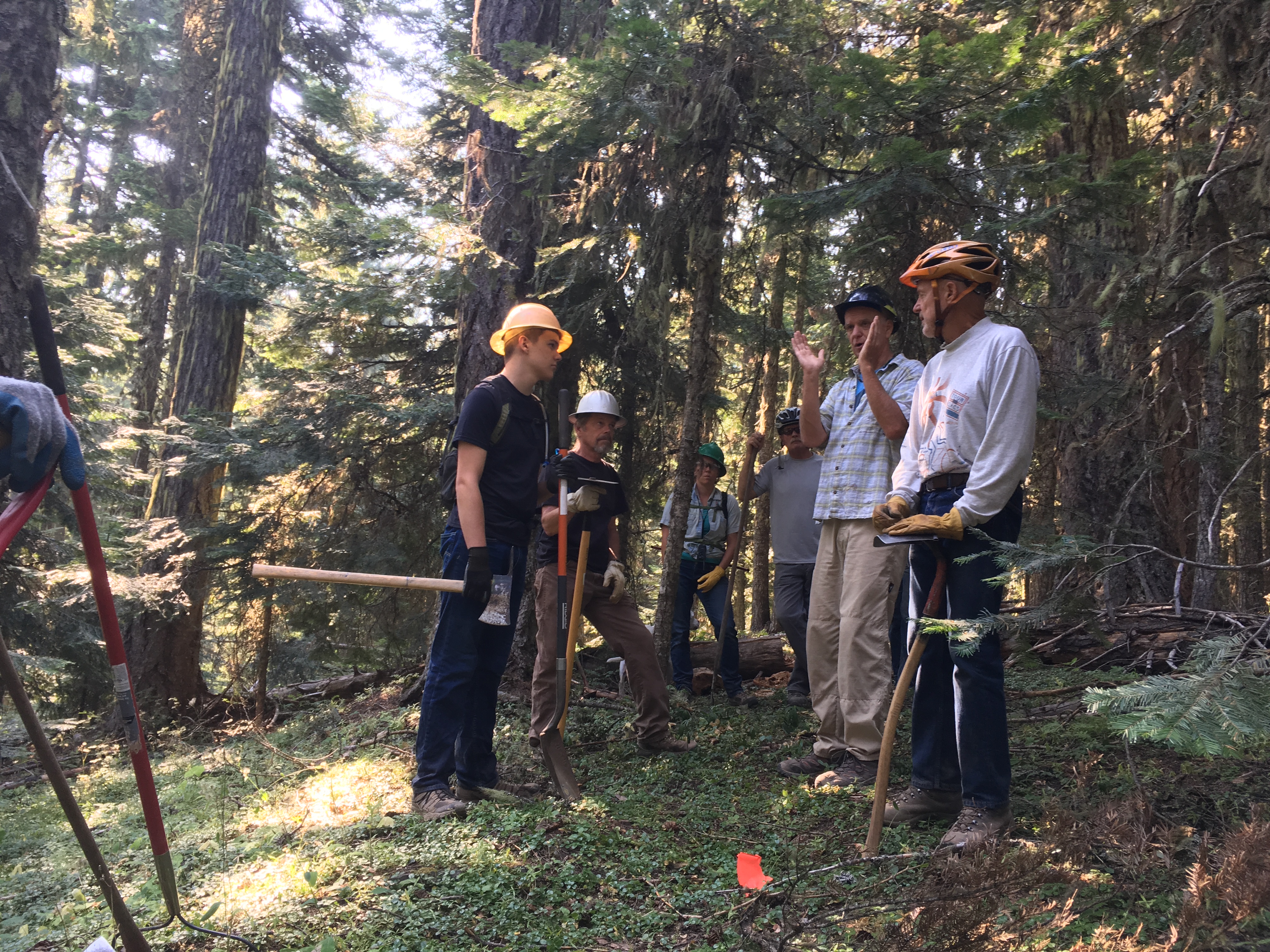
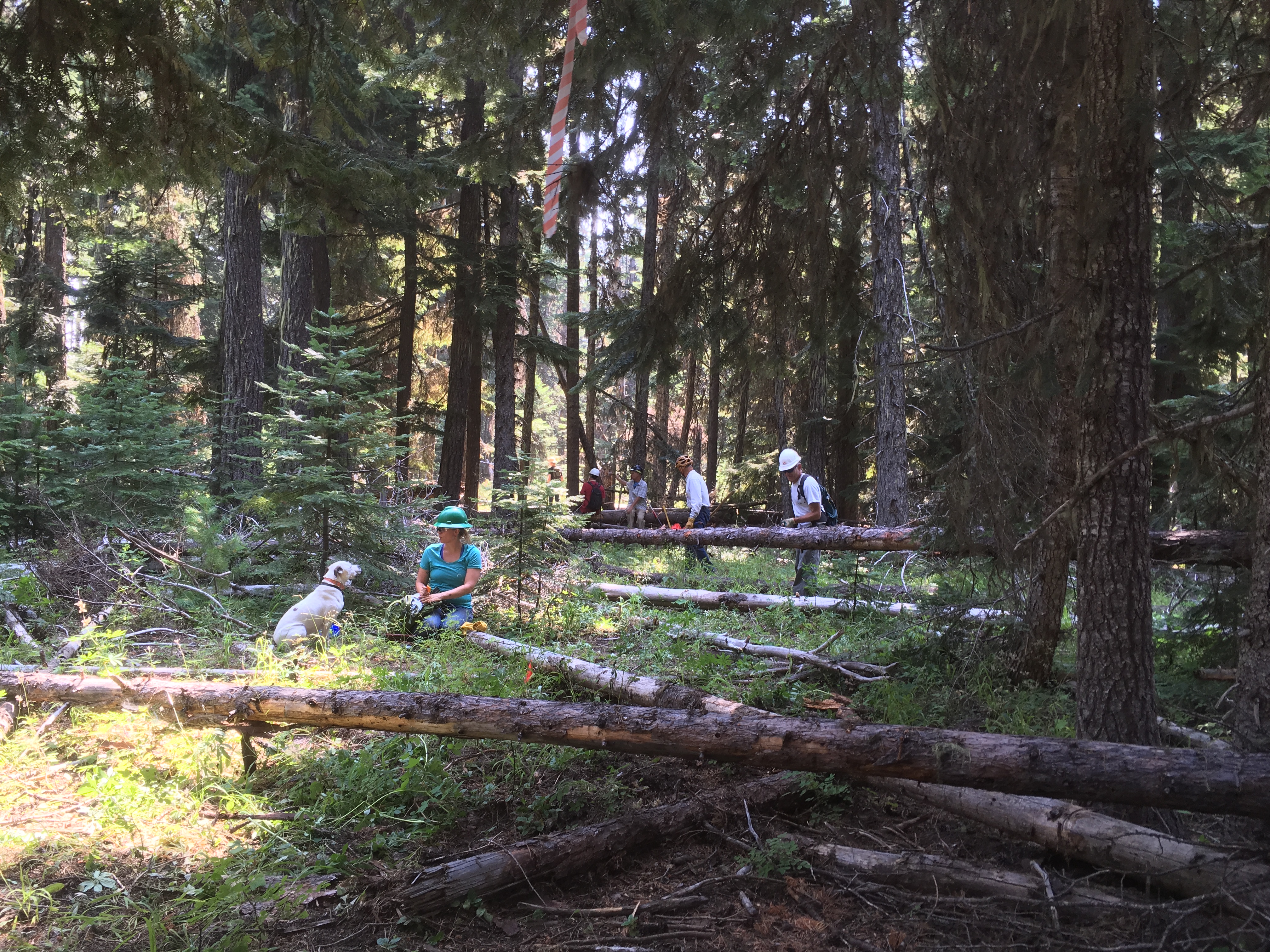
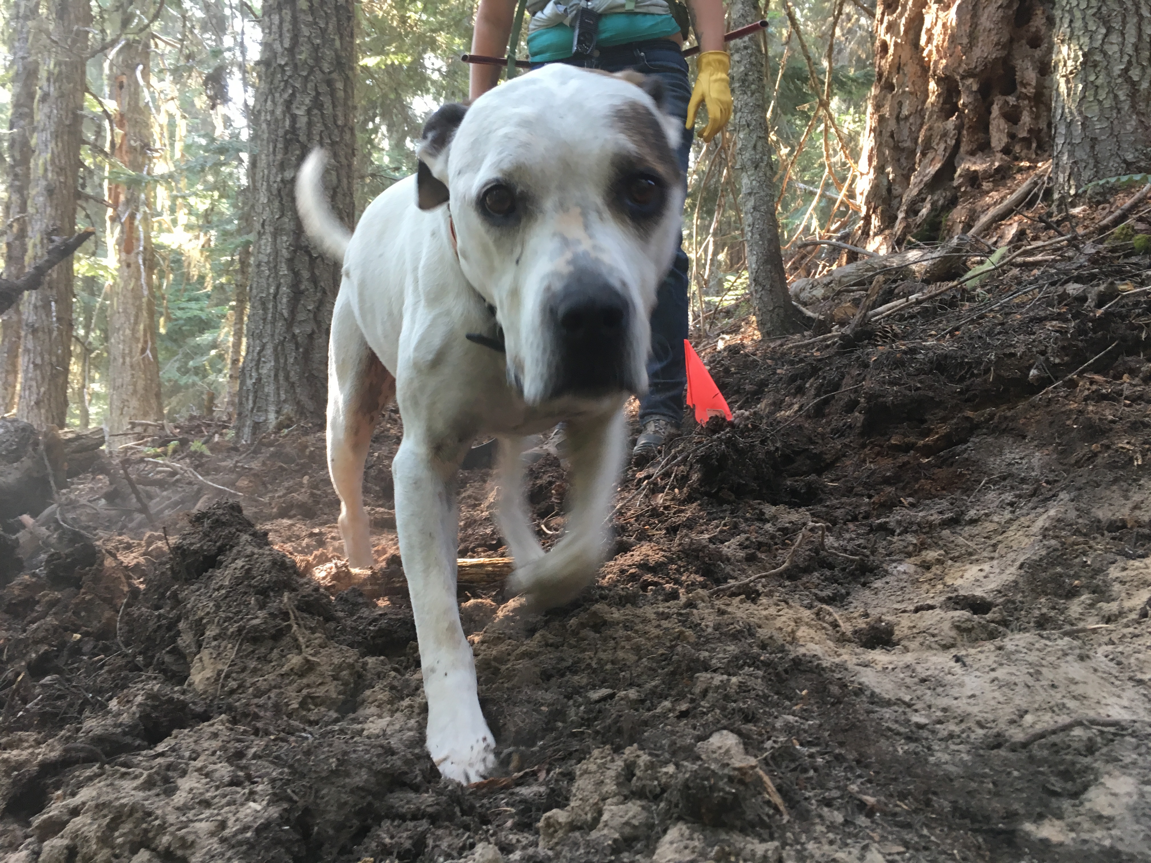
Oh yeah, we’re still working on the Surveyor’s Ridge re-route. Come on up tot he 44 Zone on Saturday, June 9 to lend a hand. Can’t make it? Make a donation!
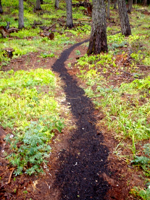
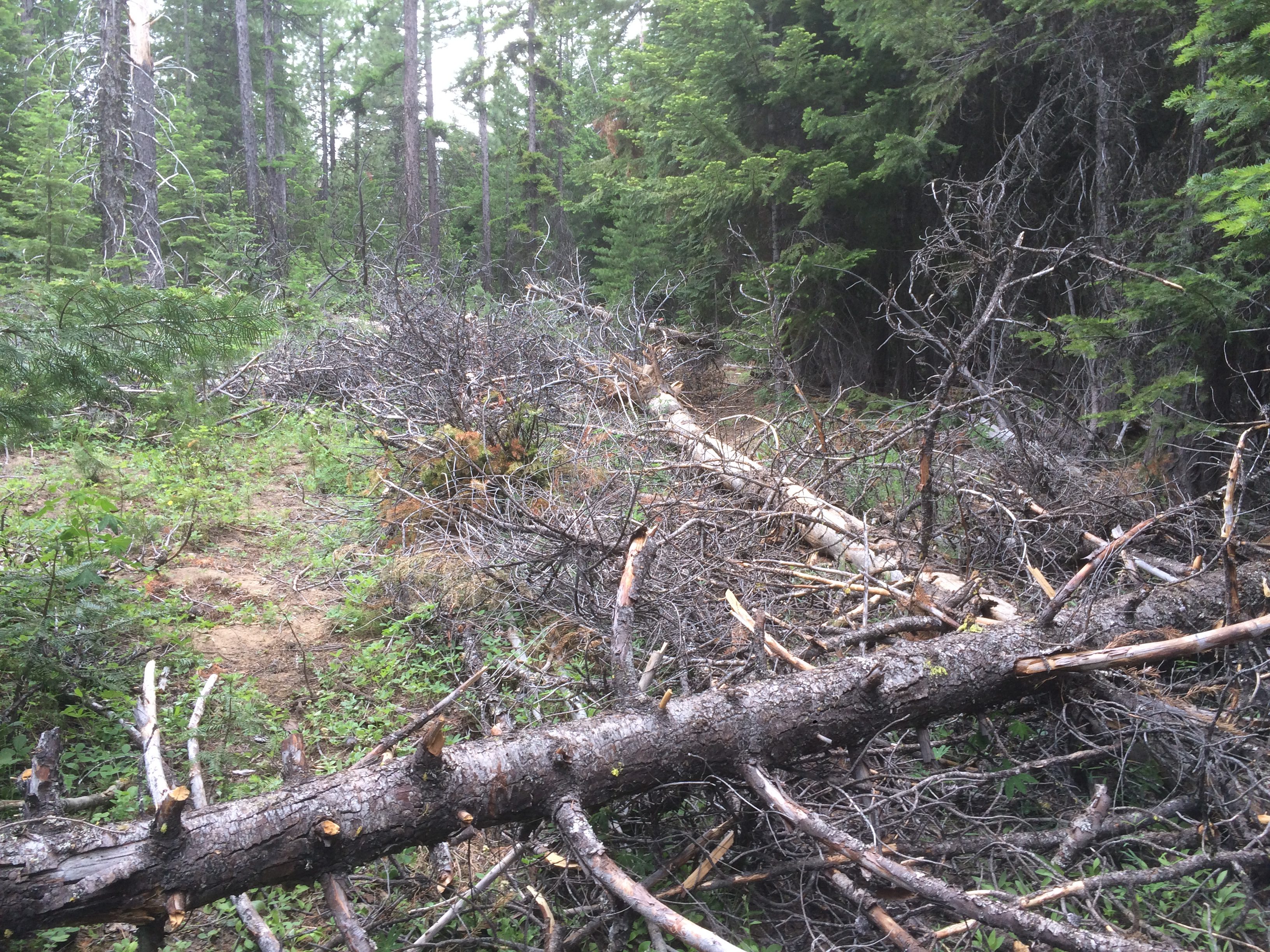
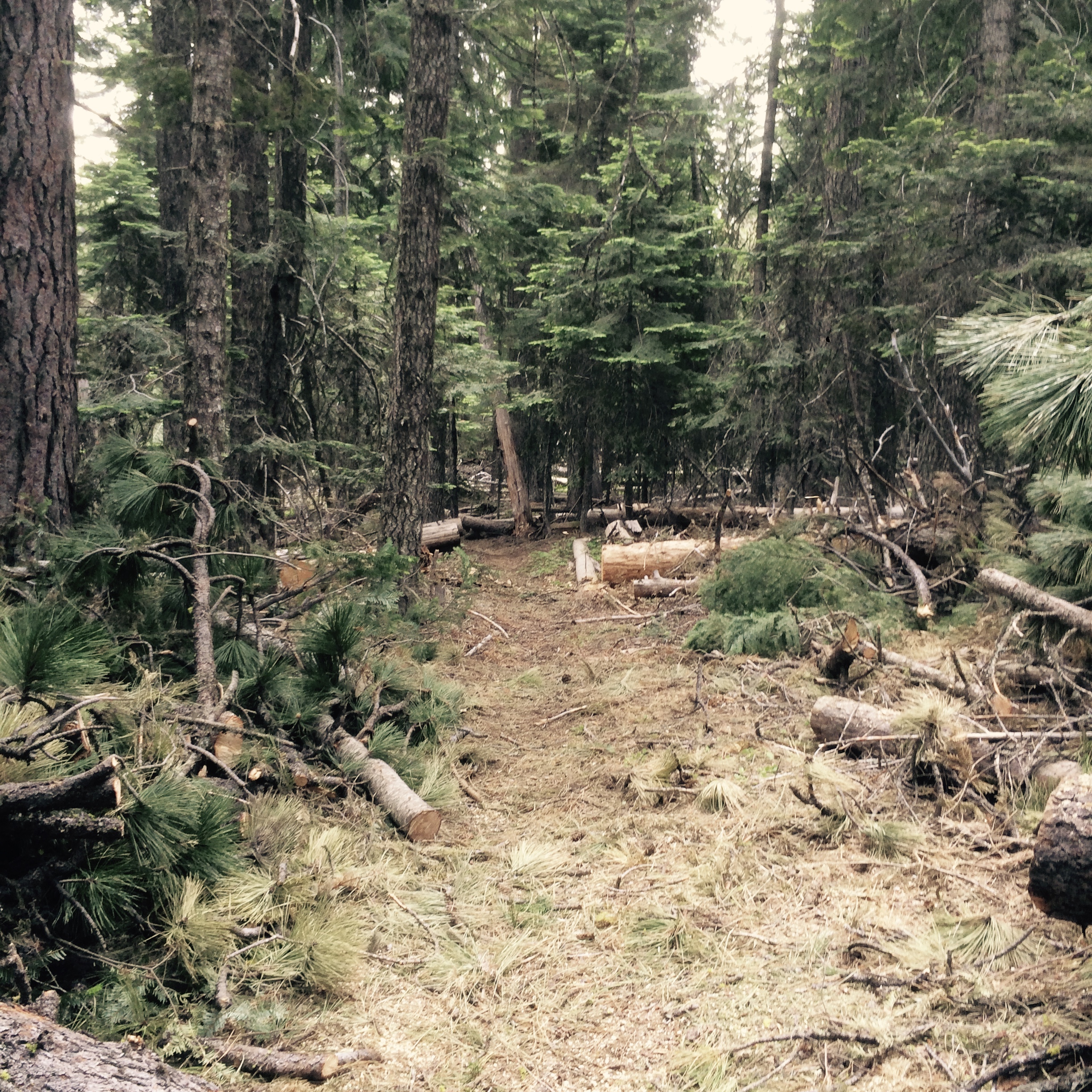
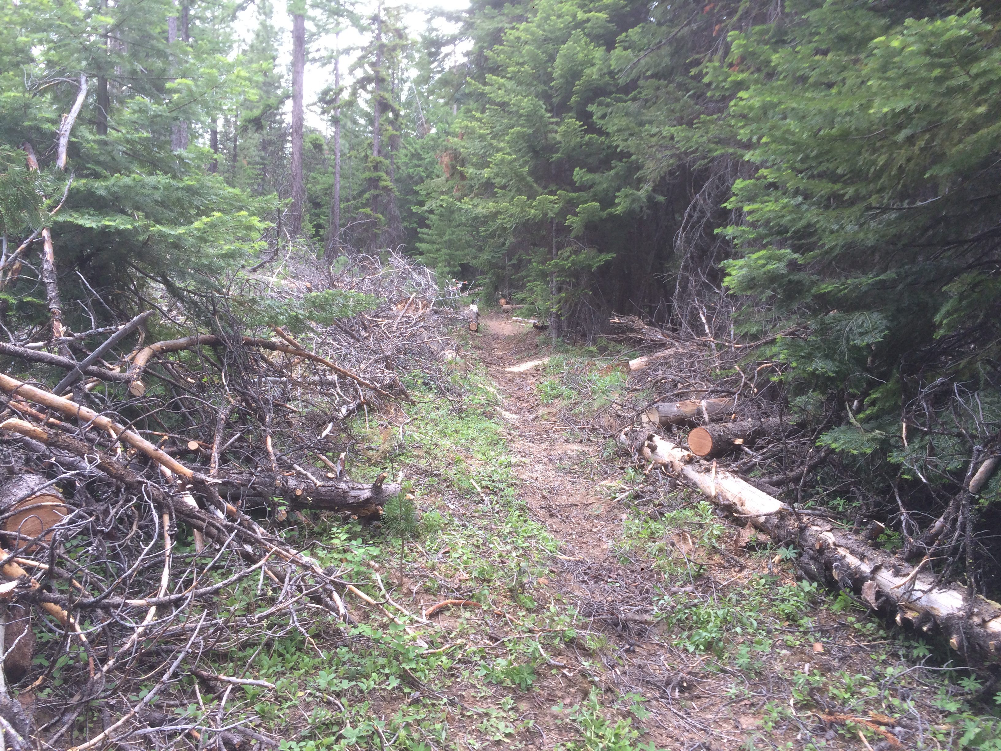
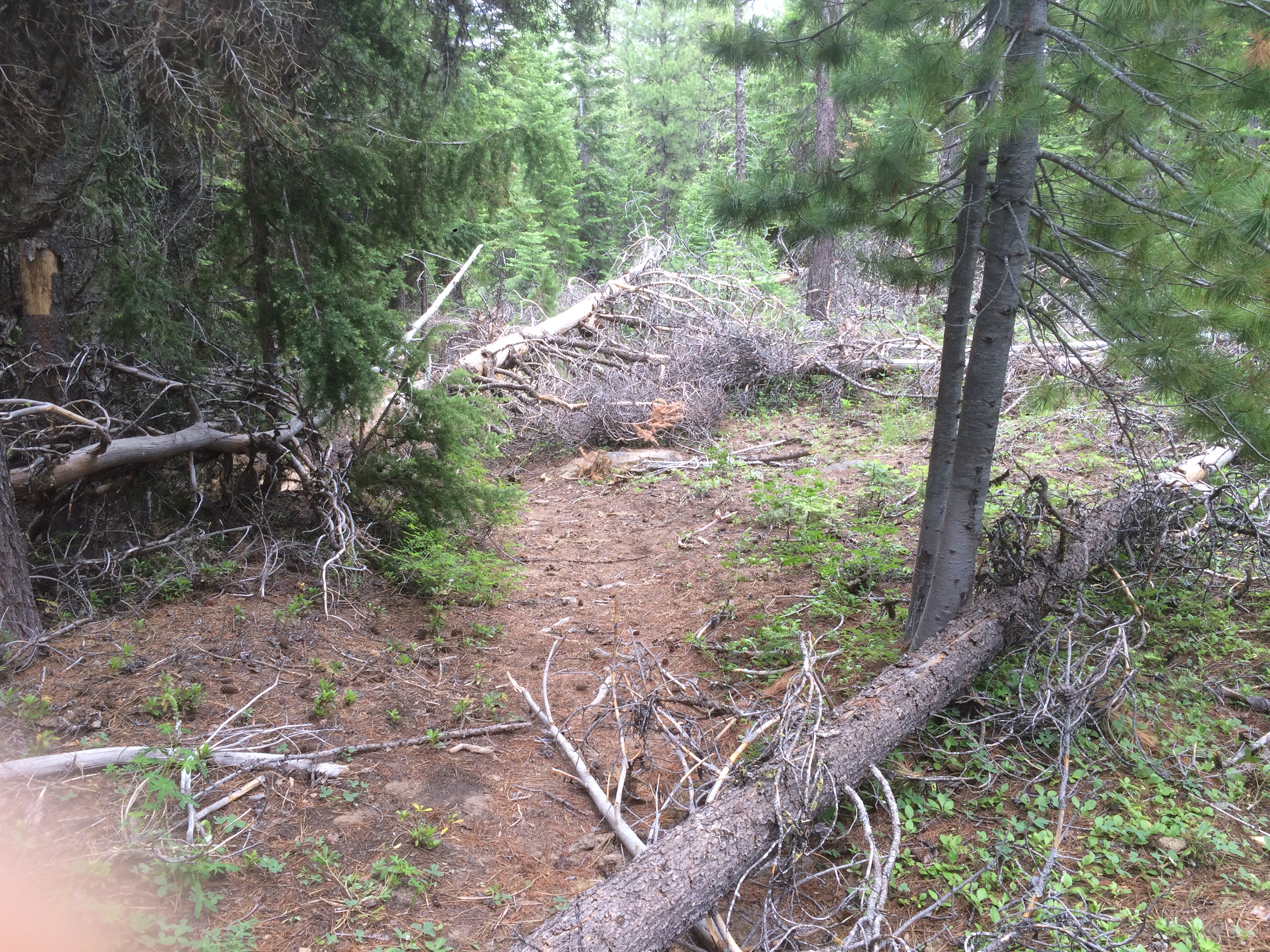
The new route adds single track miles and reroutes the trail away from The Dalles Watershed Pipeline, which is about to get replaced, thus disrupting the original Surveyor’s route. READ MORE about the Surveyor’s Ridge Reroute Project and check out project map.
Trail Work Day – Surveyor’s Ridge Reroute Project SATURDAY JUNE 9, 2018
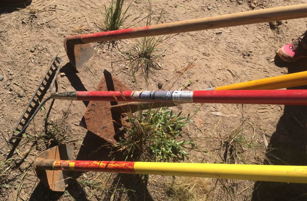
REQUIRED EQUIPMENT:
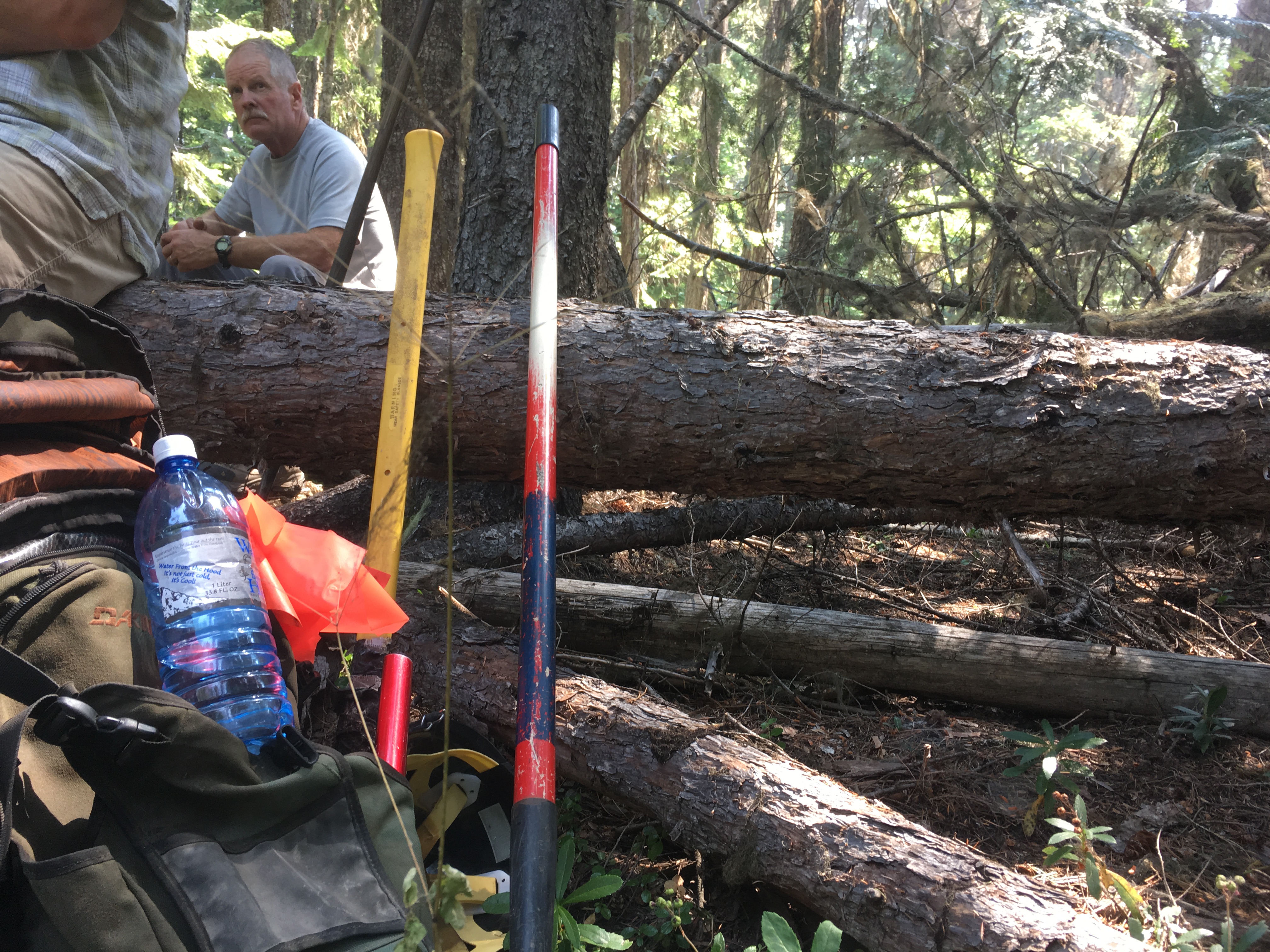
Hardhats (bike helmets ok), long pants, work gloves and work boots, water.
WHEN:
Saturday, June 9, 2018 @ 9am – 2pm (plenty of time for a post-work-project ride)
Meet 9am @ Little John SnoPark on Highway 35
We’ll have coffee thanks to Dog River Coffee in HR and sign-in at the SnoPark and then move up to the work site as a group. Lunch will be provided by NY City Subs in Hood River.
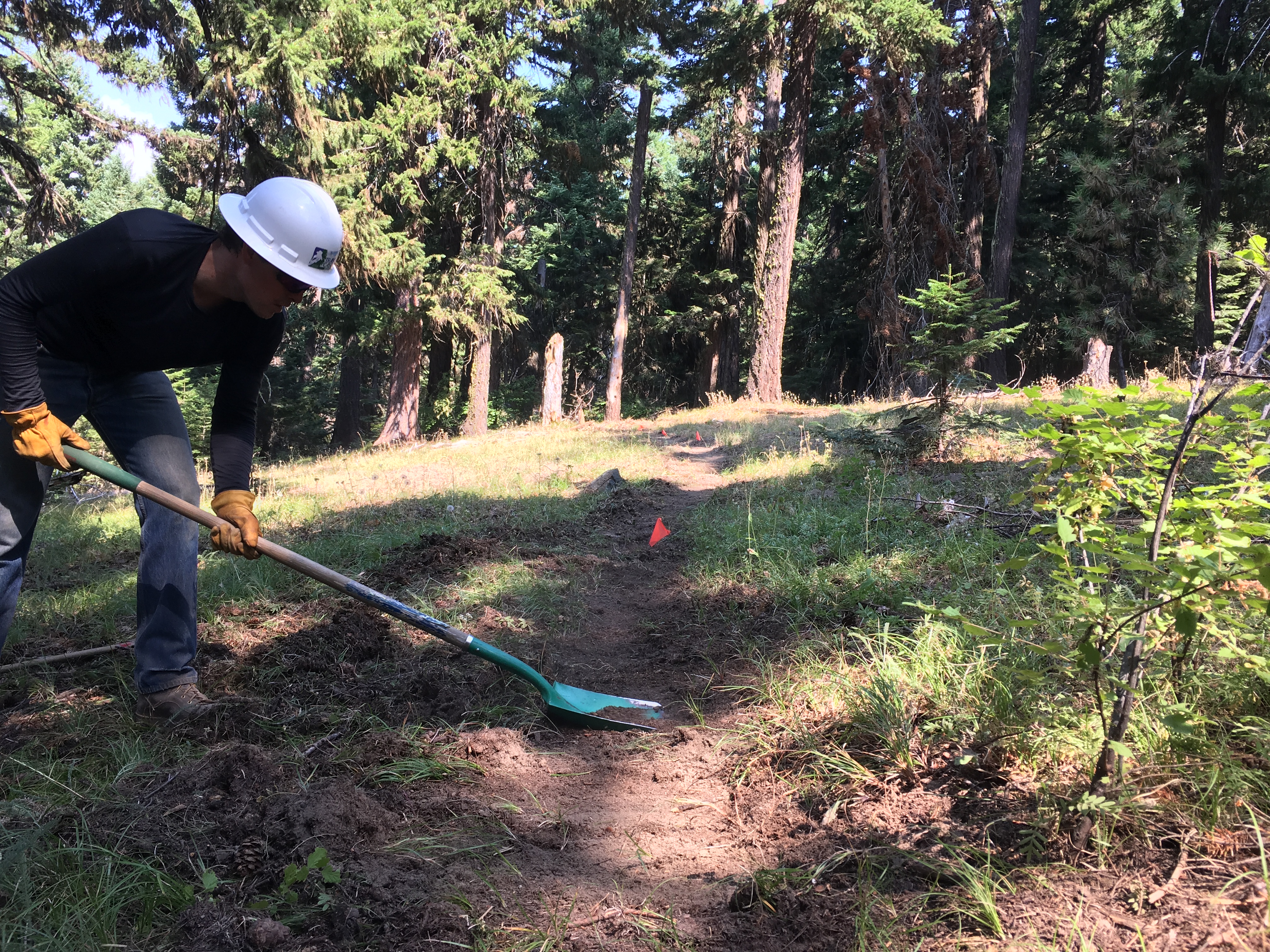
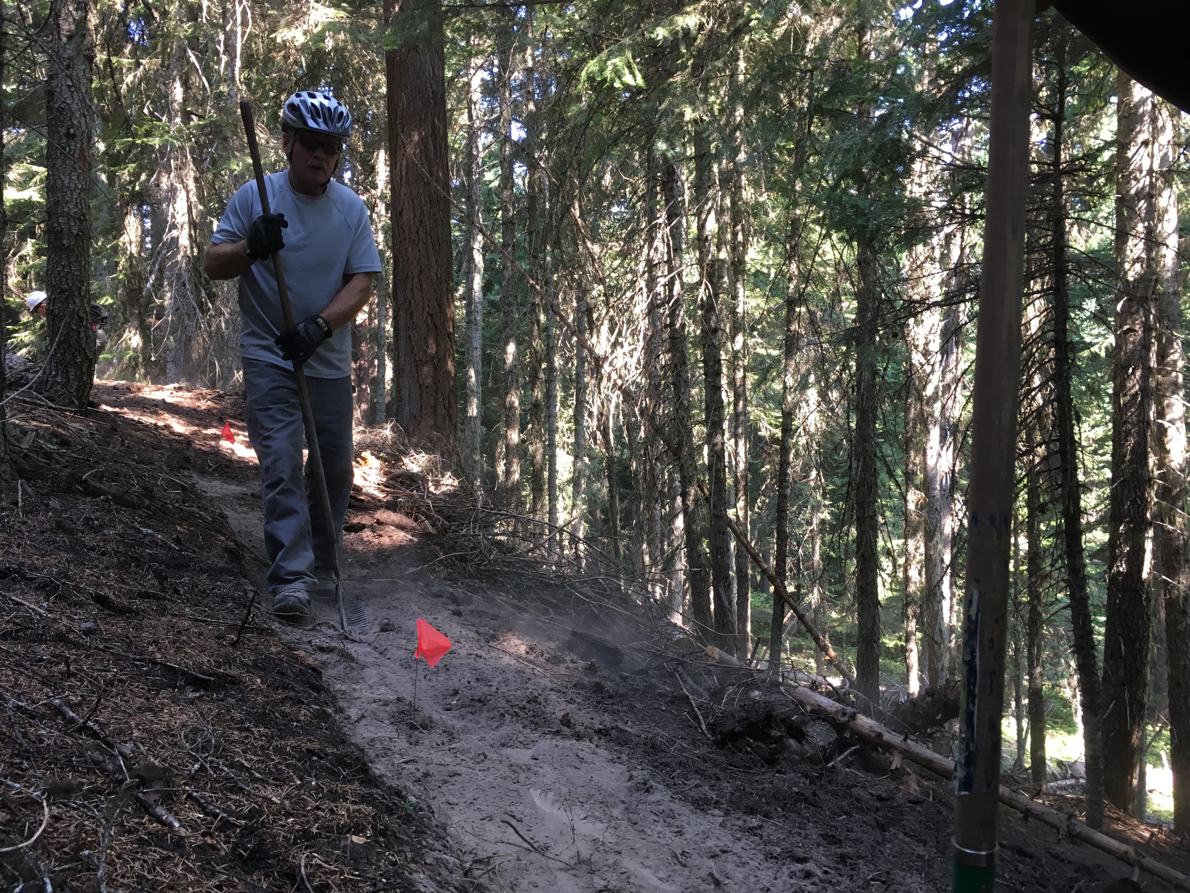
PROJECT:
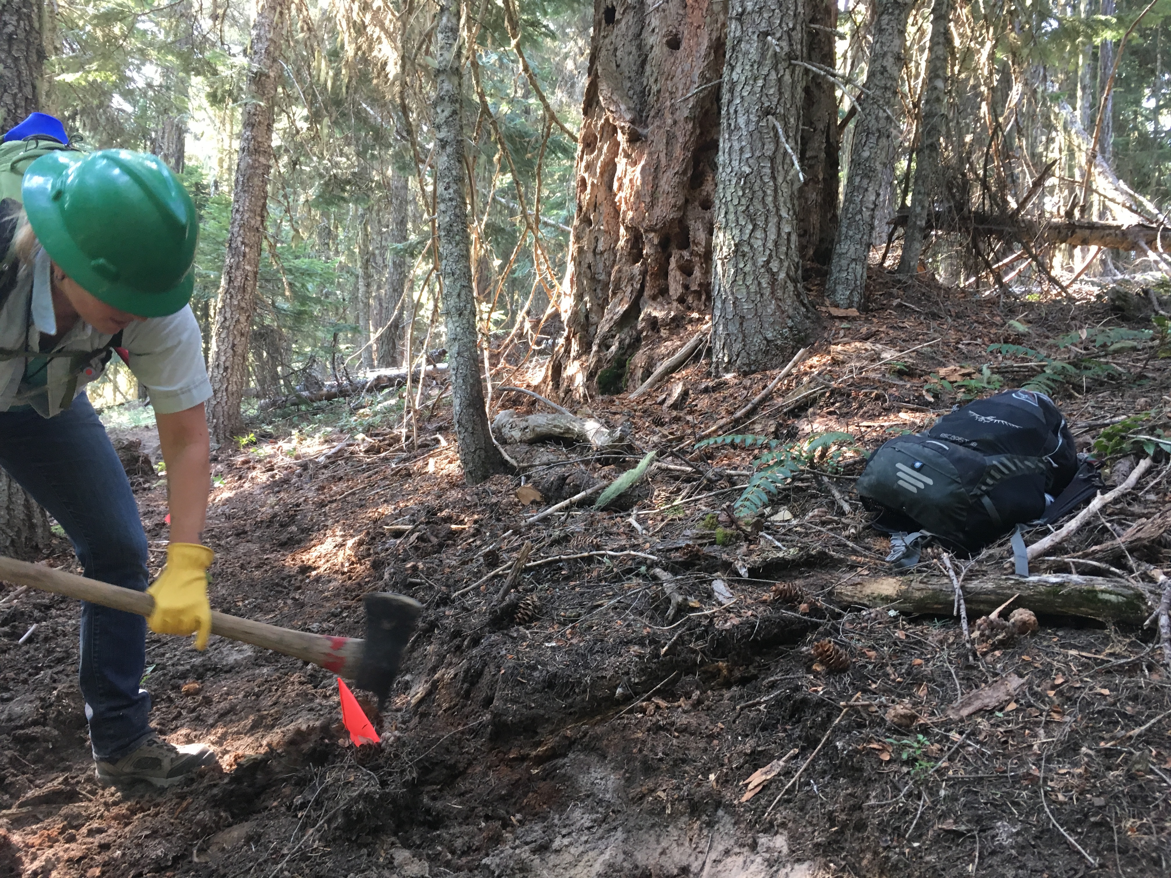
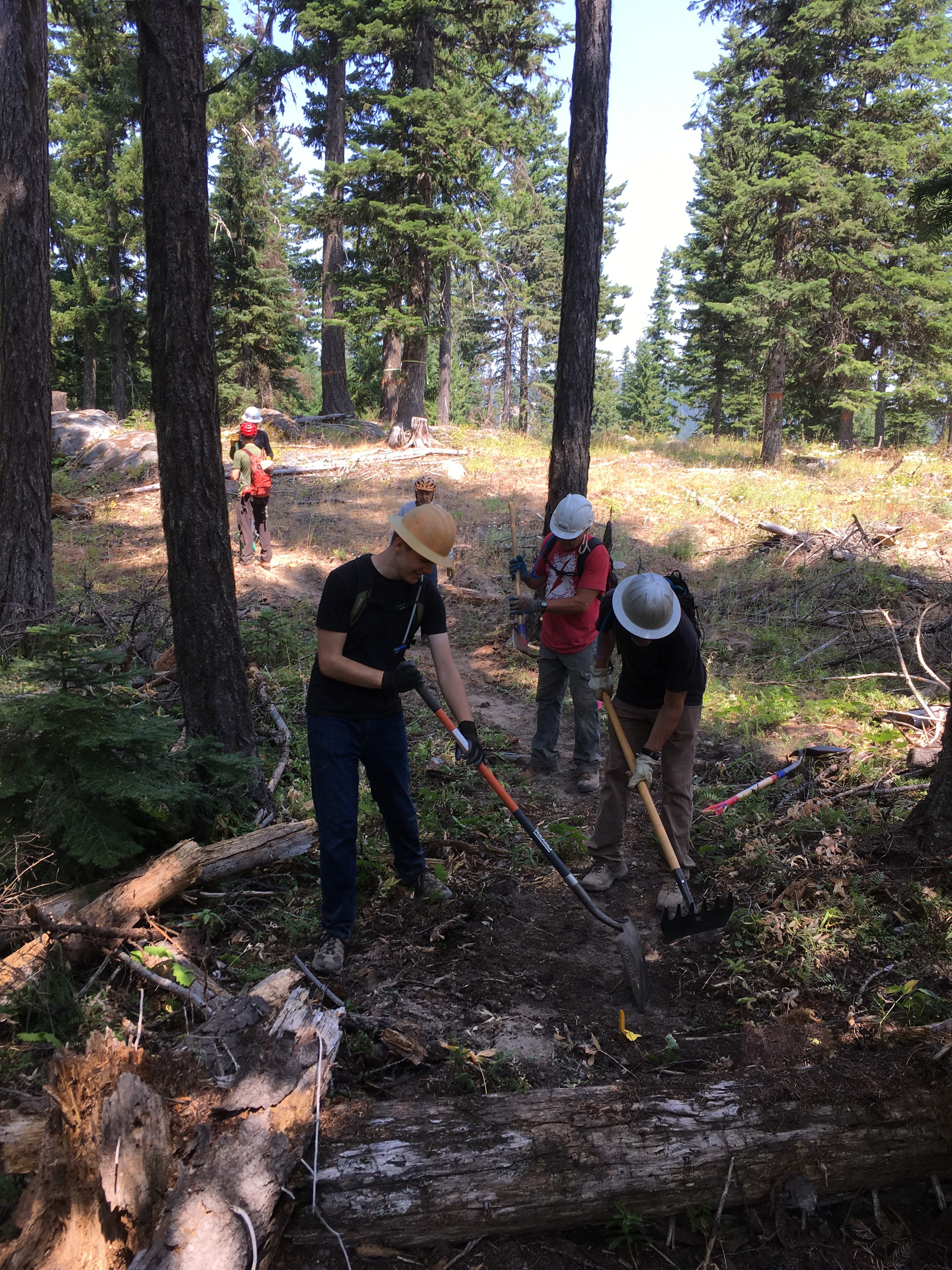
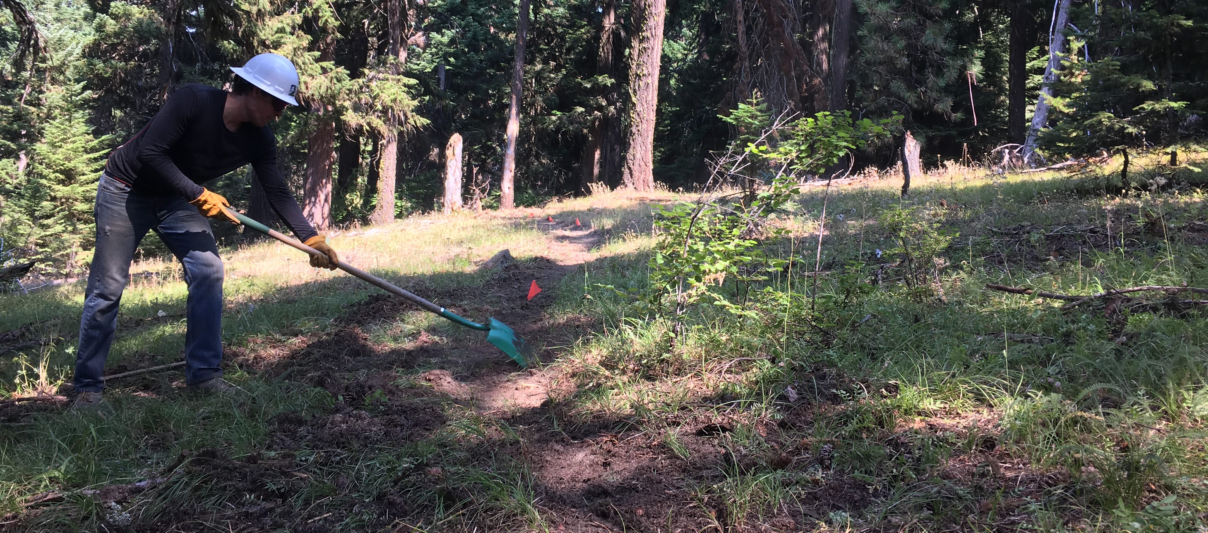
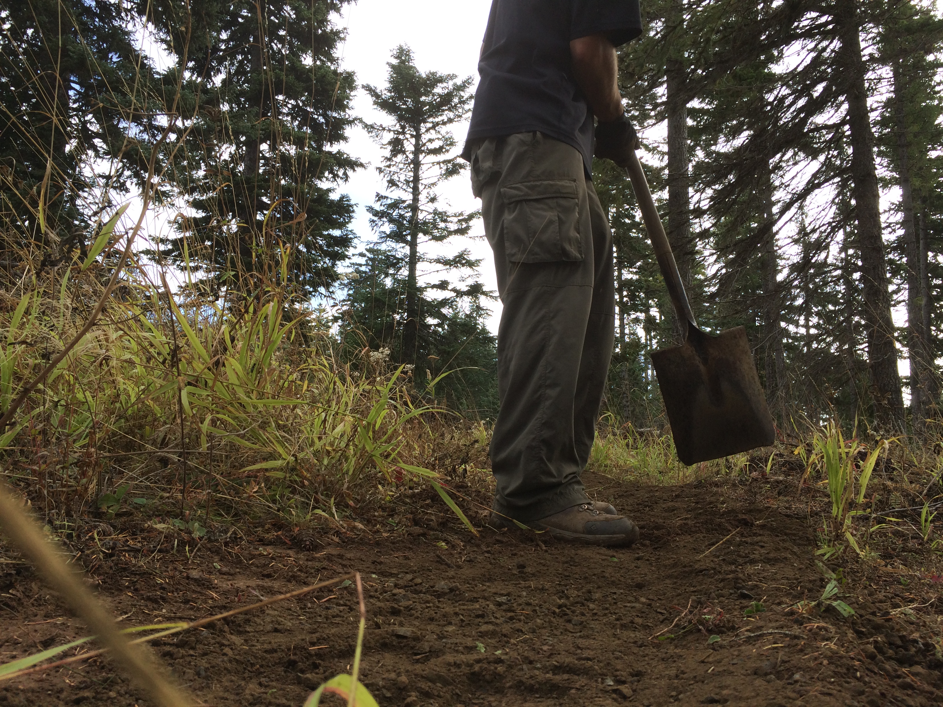
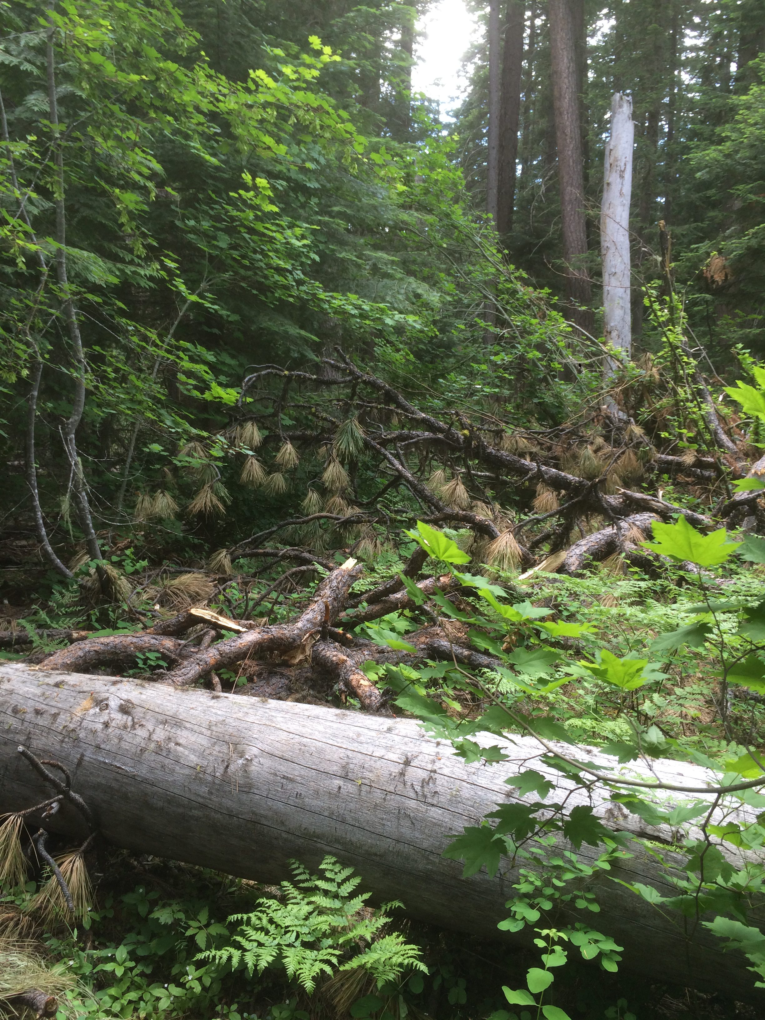
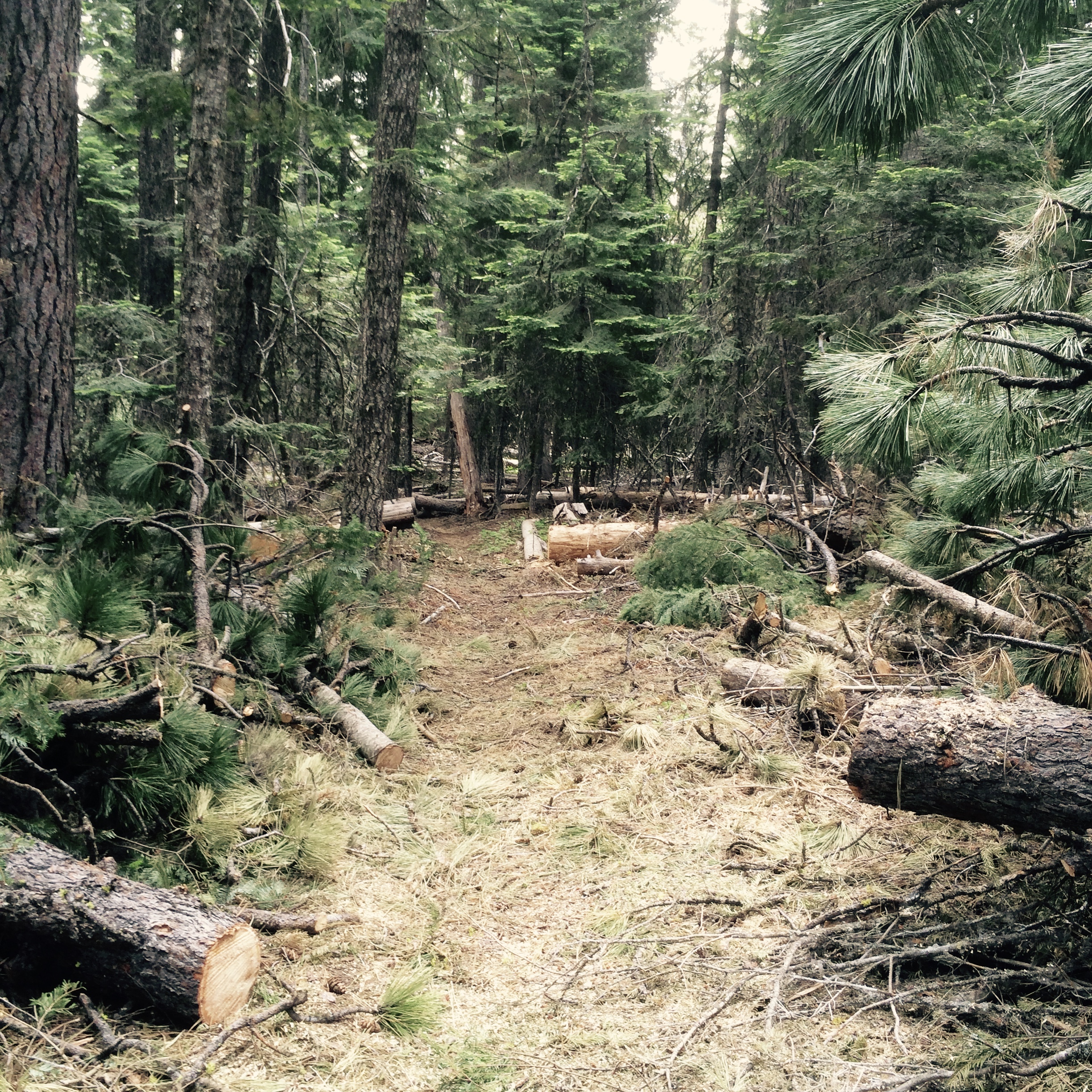
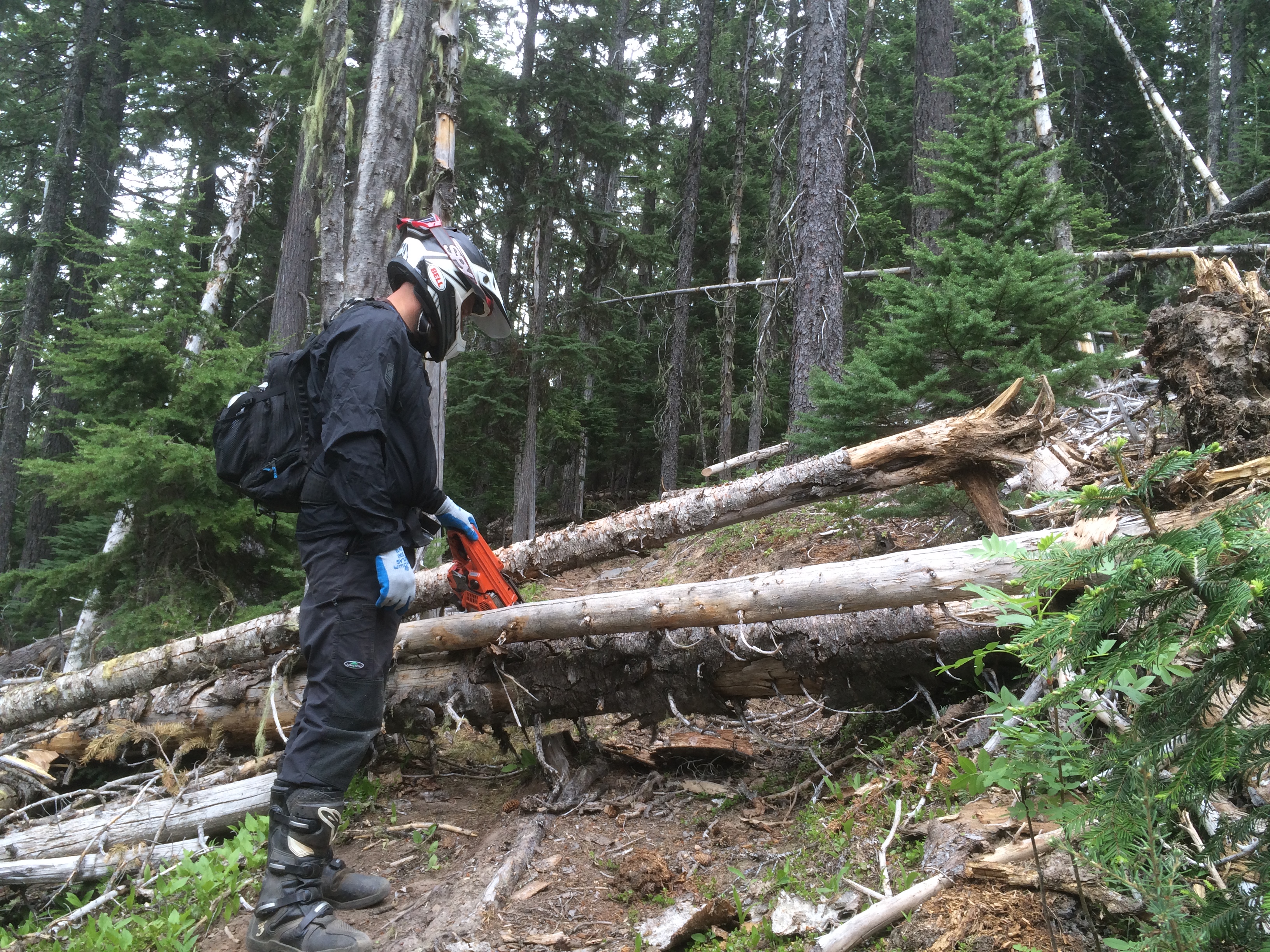
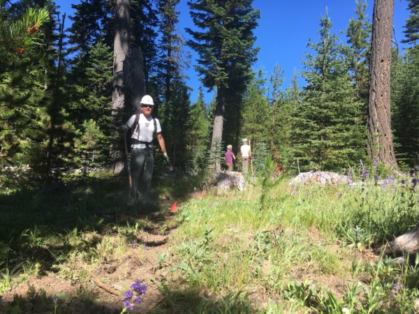
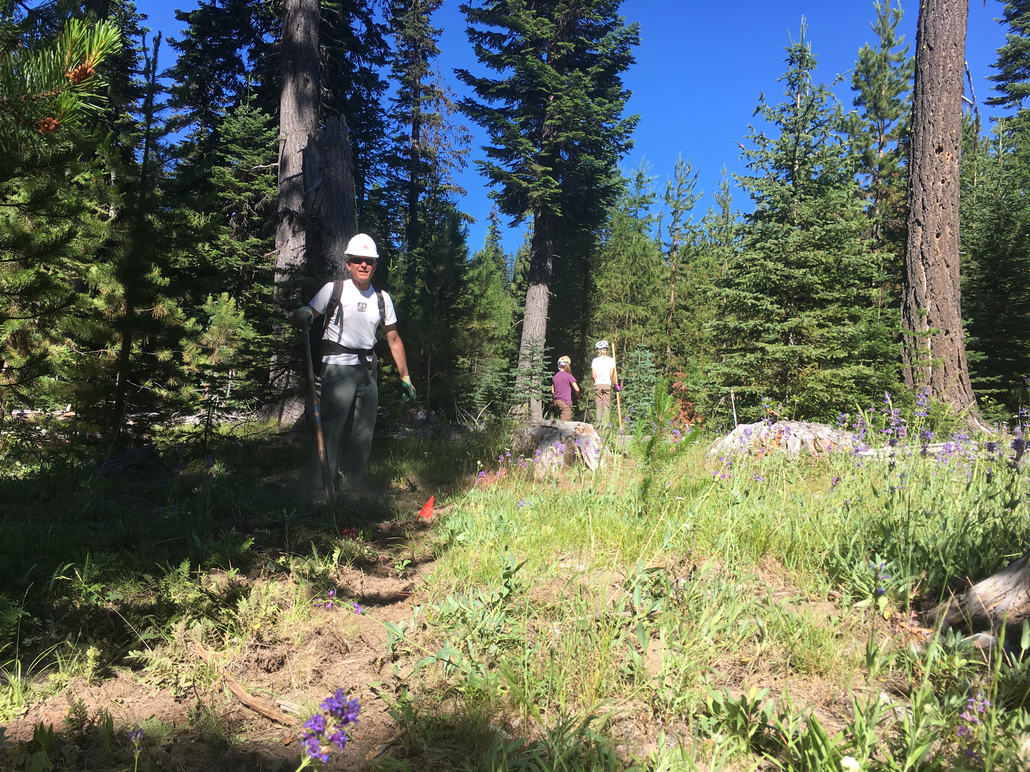
Handbuilt singletrack on Surveyor’s ridge re-route. We will be doing rough in and route trimming/clearing.
TOOLS:
 Helmet/hardhat (bike helmets ok), long pants, gloves, and work boots required.
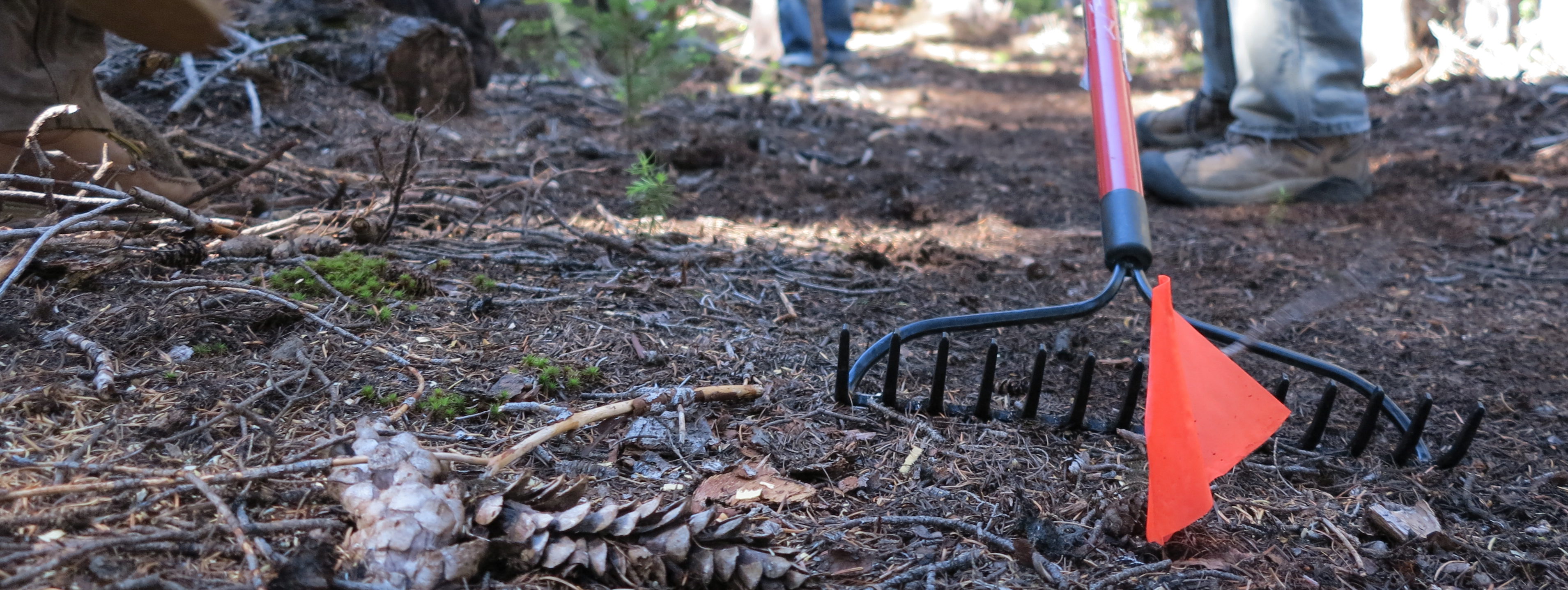
Hand tools only – Flat Shovels, McLeods, Metal Rakes, loppers, Pulaskis (NO chainsaws necessary).
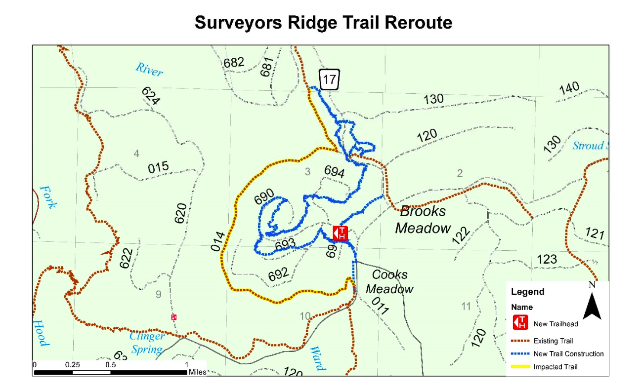
Here is the map showing the approximate route of the Surveyor’s Ridge trail project. The existing trail (yellow) will be disrupted by the new pipeline – the new route (blue) shows the tentative routes to connect with the SuperConnector (brown) near the 17 Road.