We NEED You for Trail Work on Sunday, June 8

Trail Work Day – Brushing upper Dog River to Zig Zag

We are kicking off the trail work season this Sunday, June 8, 2025

We will be working on the first mile of Dog River, starting from the top (between the south Surveyor’s Ridge trailhead parking and the ZigZag trail). If, by some miracle, there is moisture by then, we’ll also do some tread repair.

Hard hats (bike helmets ok), long pants, work gloves and work boots are REQUIRED!

WHEN and WHERE:
Sunday, June 8, 2025, 10 am – 2 pm
Meet 10 am at  Upper Dog River/Surveyor’s Ridge South Trailhead 
Lunch will be provided by NYCity Subs in Hood River.

PROJECT:
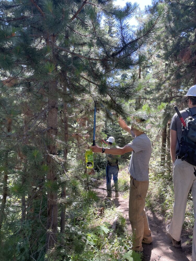
Brushing, trimming and tread work, if possible

Bring loppers and hand saws if you have ’em!
Hard hats (bike helmets ok), long pants, work gloves and work boots are REQUIRED!

See you Sunday.


Can’t attend? Show your support with a tax-deductible donation!

Latest 44 Trails Conditions – 6/4/25

44 trails logout
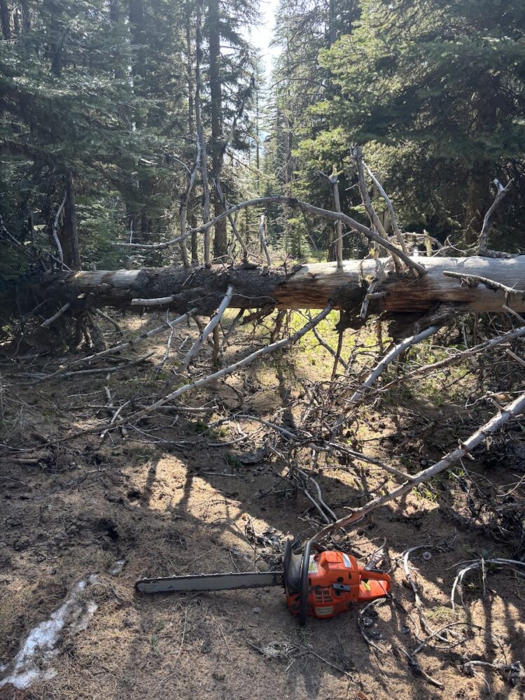
UPDATE: More Trails Clear as of 6/4/25

Latest Cleared Trails:
Upper Dog River #675
Zig Zig #678
Surveyor’s Ridge #668
Cooks Meadow # 639 up to 5800’ (snow above)

FYI Upper Lookout (450) still has snow – not fully cleared

Reminder: the Dog River Trail is temporarily closed while Hood River County conducts logging in the area. Read about the workaround

Current full list of cleared trails:

Surveyors Ridge Trail #688
Super Connector / Hub Loop
North Section Line Trail #451 (still a bit brushy)
8-Mile Trail #496
Knebal Springs Trail #474
Bottle Prairie Trail #455
Lookout Trail #450 (lower section only)
Fifteen Mile Trail #456
Lower Fifteen Mile
Underhill Trail #683
Cedar Creek #457
Upper Dog River #675 (Zig Zag to Surveyor’s South TH)
Zig Zig Trail $678
Cooks Meadow Trail #639 up to 5800’ (snow above)

Check out the 44 Trails map on RideWithGPS

link to 44 trails on ridewithgps

Check out the 44 Trails map on Trail Forks

trail forks 44 trails map

Join our mailing list to learn about work parties
Or

44T Trail Conditions Update 5/29/25

44 Trails LogoutUPDATE: More Trails Clear as of 5/29

Lower Fifteen Mile
Underhill Trail #683
Cedar Creek #457

Plus the 240 Spur Road to Bulo Point

FYI Upper Lookout (450) still has snow – not fully cleared

Reminder: the Dog River Trail is temporarily closed while Hood River County conducts logging in the area. Read about the workaround

Current full list of cleared trails:

Surveyors Ridge Trail #688
Super Connector / Hub Loop
North Section Line Trail #451 (still a bit brushy)
8-Mile Trail #496
Knebal Springs Trail #474
Bottle Prairie Trail #455
Lookout Trail #450 (lower section only)
Fifteen Mile Trail #456
Lower Fifteen Mile
Underhill Trail #683
Cedar Creek #457

Check out the 44 Trails map on RideWithGPS

link to 44 trails on ridewithgps

Check out the 44 Trails map on Trail Forks

trail forks 44 trails map

Join our mailing list to learn about work parties
Or

44 Trails Conditions 5/22/25

15 mile logout
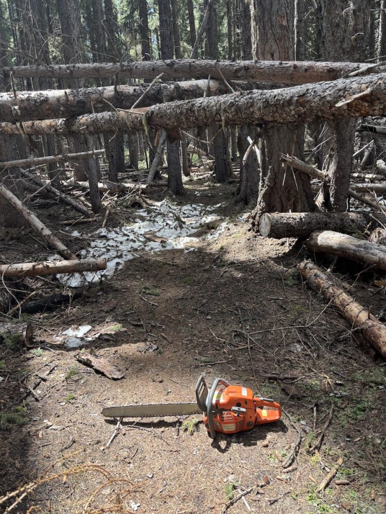
UPDATE: More Trails Clear as of 5/22

Fifteen Mile Trail #456
Lookout Trail #450

Cedar Creek Trail #457 – about half clear — look for update soon!

Current full list of cleared trails:

Surveyors Ridge Trail #688
Super Connector / Hub Loop
North Section Line Trail #451 (still a bit brushy)
8-Mile Trail #496
Knebal Springs Trail #474
Bottle Prairie Trail #455
Lookout Trail #450
Fifteen Mile Trail #456

Check out the 44 Trails map on RideWithGPS

link to 44 trails on ridewithgps

Check out the 44 Trails map on Trail Forks

trail forks 44 trails map

Join our mailing list to learn about work parties
Or