 UPDATE: More Trails Clear as of 5/29
Lower Fifteen Mile
Underhill Trail #683
Cedar Creek #457
Plus the 240 Spur Road to Bulo Point
FYI Upper Lookout (450) still has snow – not fully cleared
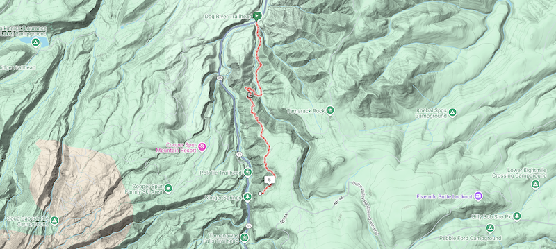
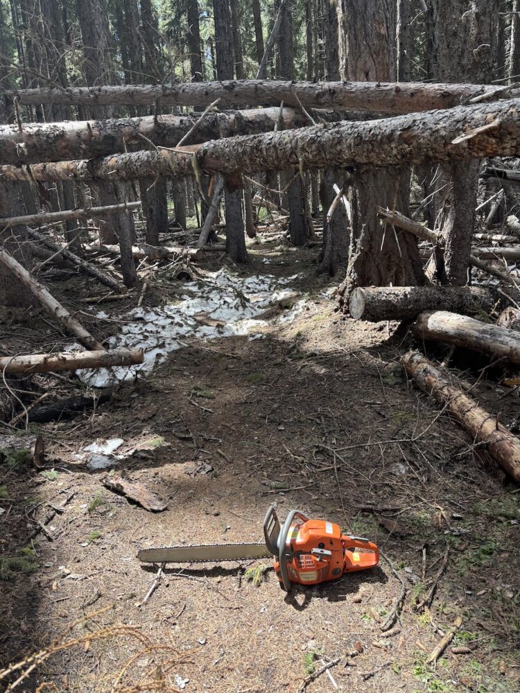
Reminder: the Dog River Trail is temporarily closed while Hood River County conducts logging in the area. Read about the workaround
Current full list of cleared trails:
Surveyors Ridge Trail #688
Super Connector / Hub Loop
North Section Line Trail #451 (still a bit brushy)
8-Mile Trail #496
Knebal Springs Trail #474
Bottle Prairie Trail #455
Lookout Trail #450 (lower section only)
Fifteen Mile Trail #456
Lower Fifteen Mile
Underhill Trail #683
Cedar Creek #457


Join our mailing list to learn about work parties
Or
 UPDATE: More Trails Clear as of 5/22