44 Trails Map

44 trails map
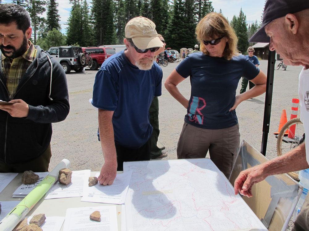
We recently completed a digital map of the 44 Trails area that is designed for use on your mobile device. The geo-referenced PDF is viewed with the free Avenza PDF Map App (available for iPhone, Android and Windows phones). The map shows your location, offers your coordinates and allows you to navigate.

At this point, we’ll call it a beta version of the map, as we have not been able to check every trail. Think of it as a good general reference.

You can get your free copy of the map by signing up for our e-mail list. Once you sign up, you’ll get an e-mail that includes a download link for the map.

How to get the free 44 Trails Mobile Map:

1. Download the Avenza Map App (free) on your mobile device.
2. Sign up for our mailing list and a link to download the 44 Trails map will be sent to you.
3. Open 44 Trails map with Avenza on your device

The map is for general reference only and is provided without a warranty of any kind, either expressed or implied. Use of this map is at your own risk and discretion.

Sign up for our mailing list to receive the 44 Trails Map for free!

TrailGate 2015 Success!

44 trails mountain bikingThanks to everyone who turned out for TrailGate 2015!

We had a great crew and a great day up on the 44 trail system. The weather was great, trails were ridden, bikes demoed, food eaten, music played and a good time had by all. We estimate over 200 people participated in the event.

We owe a big thanks to sponsors: Timberline Lodge for grilling up the food, Hood River Bicyclesfor serving up great demo bikes, Lets Get Out for organizing kid events, the USFS for the permit and attending the event, plus the band – Cripple Hop for setting the atmosphere with great bluegrass and their own imusic!

Plus all of our swag contributors deserve a shout out including: Mountain View Cycles, Dirty Fingers Bicycles, Dalles City Cyclery, Pfriem Family Brewers, Full Sail Brewing Company, Camp 1805 Distillery, Best Western Plus Hood River Inn, Brian’s Pourhouse, DAKINE, Pine Street Baking, Northwest Graphic Works, Solstice Wood Fire Cafe & Bar.

Trailgate 2015 may be over but the trails are still open to riding. So if you missed out on the event, get up there and enjoy the trails for a chance to enjoy the best single track on the Mount Hood National Forest.

Cooks Meadow Trail Extension

Cooks Meadows Trail Expansion Project

Cooks Meadow Trail Expansion Map

The 44 Trails Association has been working towards building a four mile extension of the Cooks Meadow trail (# 639 – Mt Hood National Forest Cooks Meadow trail description) to replace the upper section that follows the 4410 road. The new section will create a great loop opportunity without using the road.

The USFS has opened the public comment period on the proposed project. Comments are due by July 19, 2015. The more people who comment positively about this project, the easier it is for the district ranger to make the decision to move forward.

The proposed project adds four miles of new multi-use and non-motorized trail, connecting Cooks Meadow to the upper 44 trails network (450/High Prairie/etc – see map of Cooks Meadow project) without having to ride the 4410 road, creating a safer and more enjoyable experience for trail and road users alike.

Read the full USFS letter soliciting comment on the Cooks Meadow Extension (PDF)

Here are a few talking points to consider in your letter of support for the project.
– The trail extension improves safety for trail and road users by eliminating trail/road overlap
– Trail extension projects like Cooks Meadows disperse multi-use traffic and replace multi-use trail miles lost due to 2009 wilderness expansion.
– 44 Trails, through volunteer labor and grant funding, is ready to step up and facilitate the trail project under the direct supervision of the USFS.
– The 44 trails network is a becoming well-known as a destination for non-motorized, multi-use recreation and every new connection creates a new asset and enhances the trail system.

Comments should be sent to:
Comments due by July 19, 2015

Casey Gatz – Mt Hood National Forest
email: cgatz@fs.fed.us
ph: 541-352-1255
US mail:
Casey Gatz / Hood River Ranger District
6780 Hwy 35
Mt. Hood – Parkdale, OR 97041

New signs, conditions and trail etiquette

New Trail Signs and Trail Etiquette Reminder

44 trails signageWe got some cool new signs up on the trailhead boards around the 44 zone recognizing our partnership with the USFS for trail maintenance on the 44 trails.

Look for ’em next time you are up for a ride! Here’s one posted on the trailhead board at the Dog River / Surveyor’s junction (it’s the blue sign on the right).

The trails are in perfect condition right now (June 1). There has been just enough rain in the hills to keep the soil moist but no so much as to make ’em wet.

Here’s a quick reminder on trail etiquette: Please remember that all of the 44 Trails are multi-use, non-motorized trails. They are open to hiker, biker and equestrian use. Some trails see more than others from certain user groups, but all are open to everyone and all trails are for two-way traffic. There are no designated downhill only routes. Please be cautious of the multi-use nature and ride with care and control in all situations! Yes, gravity is fun, but to ride at 44 means respecting all users.

Thanks!