44 Trails riding season is approaching, but a majority of the system is still under snow and/or in need of logout.
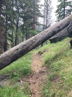
As of May 19, the snow is melting fast, but there are more downed trees than normal. The 44 road is passable to the 17 junction, and with the heat may be passable to Dufur by the time you read this.
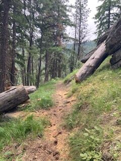
Oak Ridge trail #688A was logged out by USFS and is clear. 44T has removed more than 50 trees from Dog River Trail #675 and brushed more than three miles, but there is still about 1.5 miles with 15+ trees to clear in the middle section of the trail. A 44T and Fat Tire Farm crew will be working on the Dog River trail Monday 5/22, so it should be rideable soon.
Oregon Timber Trail Alliance has a trail day on east end the 15-Mile trail #456 this weekend 5/20-21.
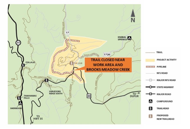
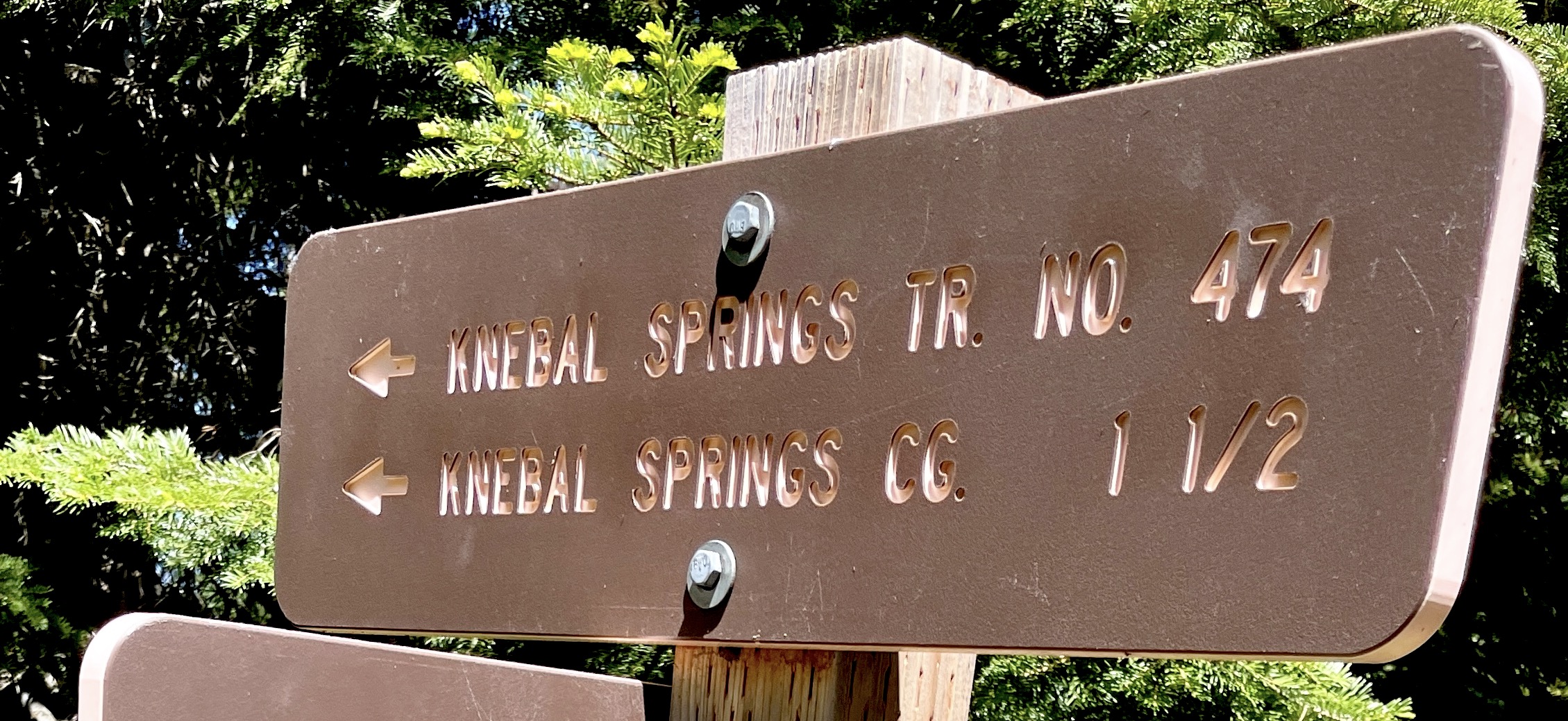
The full 44T logout project begins on 5/22, and our rough estimate is two or three weeks to get through the main system including Knebal, Cooks, 8-Mile, High Prairie, etc. There are a lot of trees down this season. Please don’t plan your vacation based on this estimate. We’ll post updates as we get them, but recognize snow cover still limits access for clearing downed trees. We are at the mercy of the weather and snow melt to get things fully open.

 Good news. More trails are clear for riding!