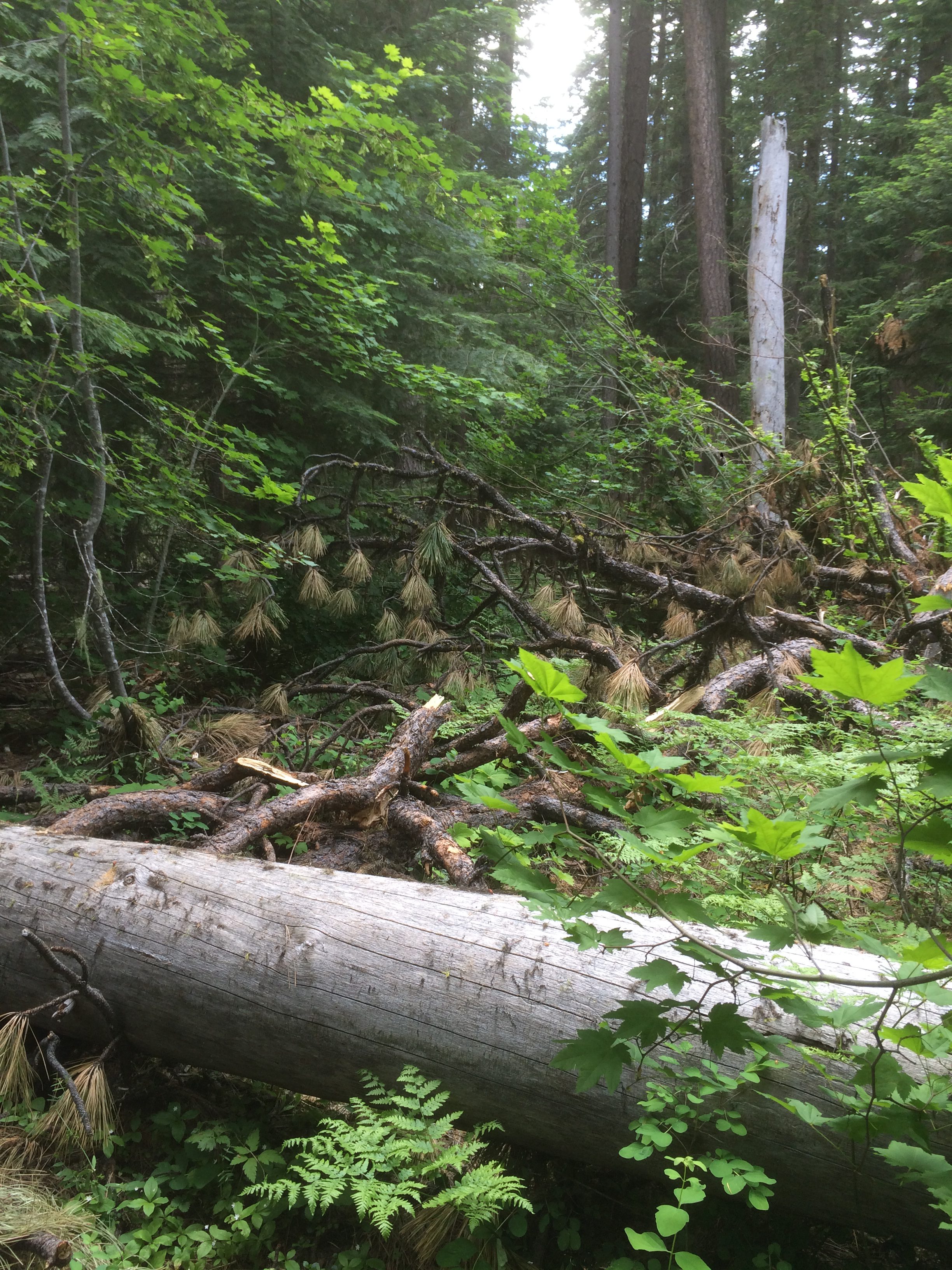
Hey, where did the trail go?
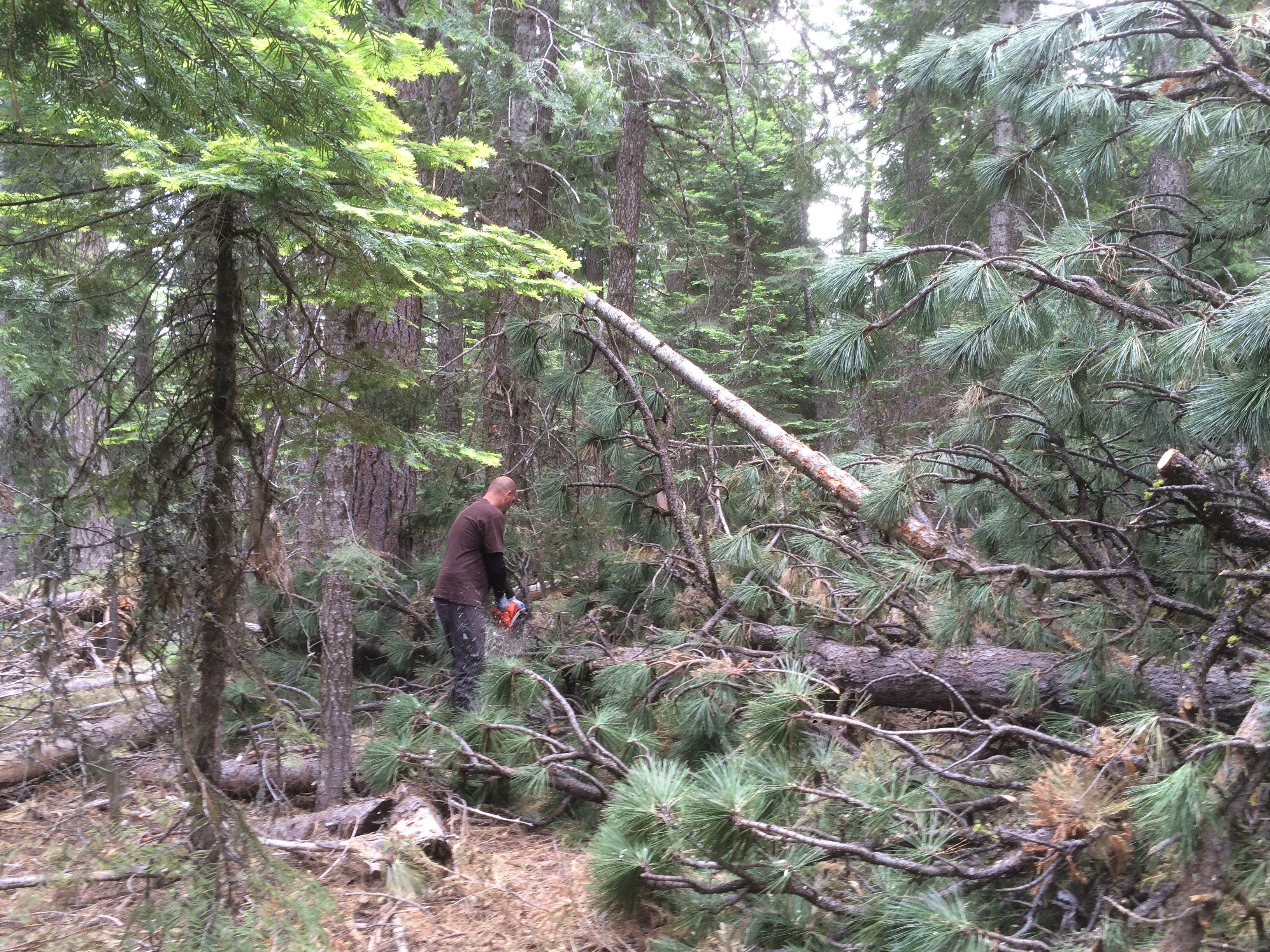
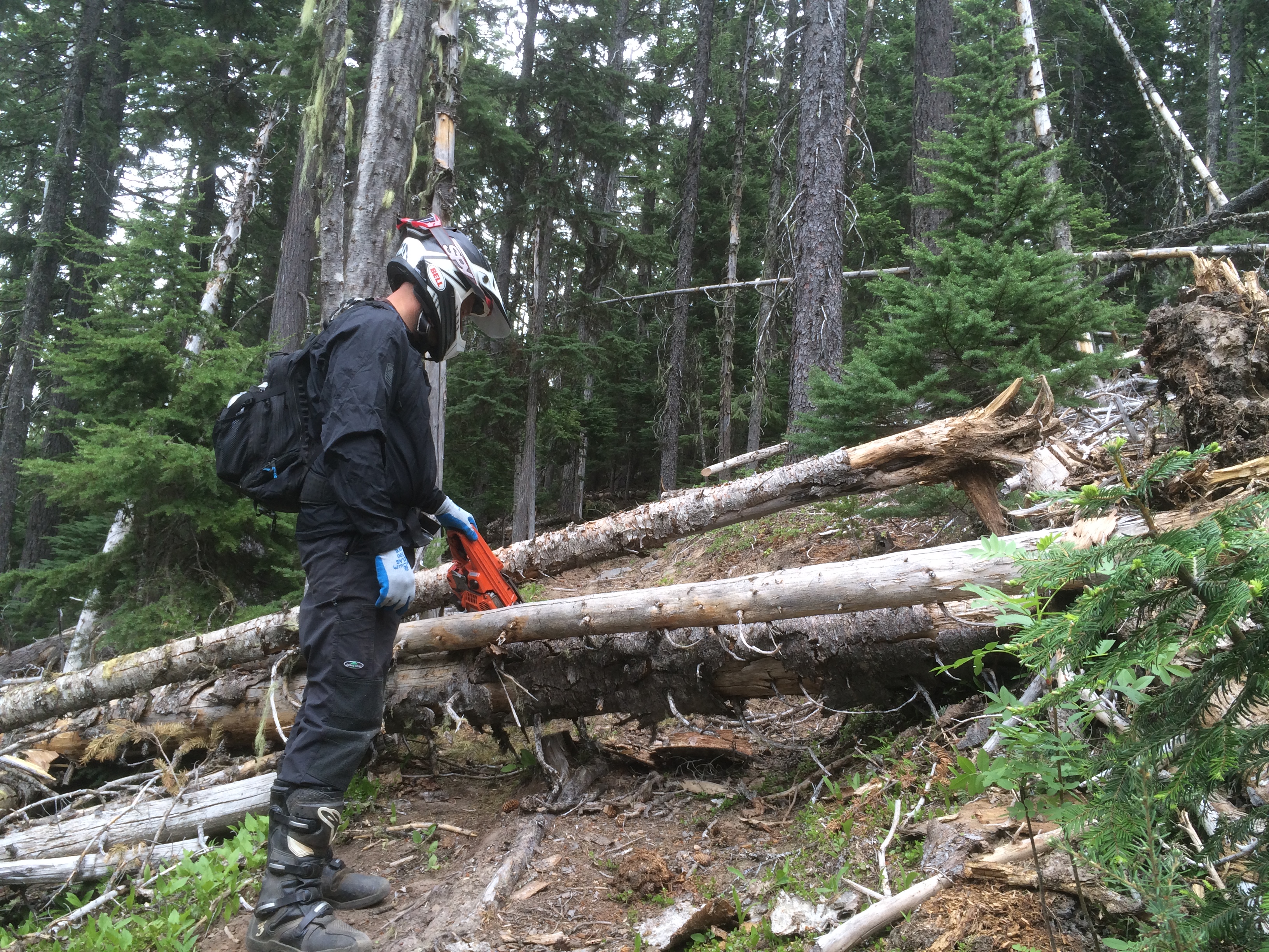
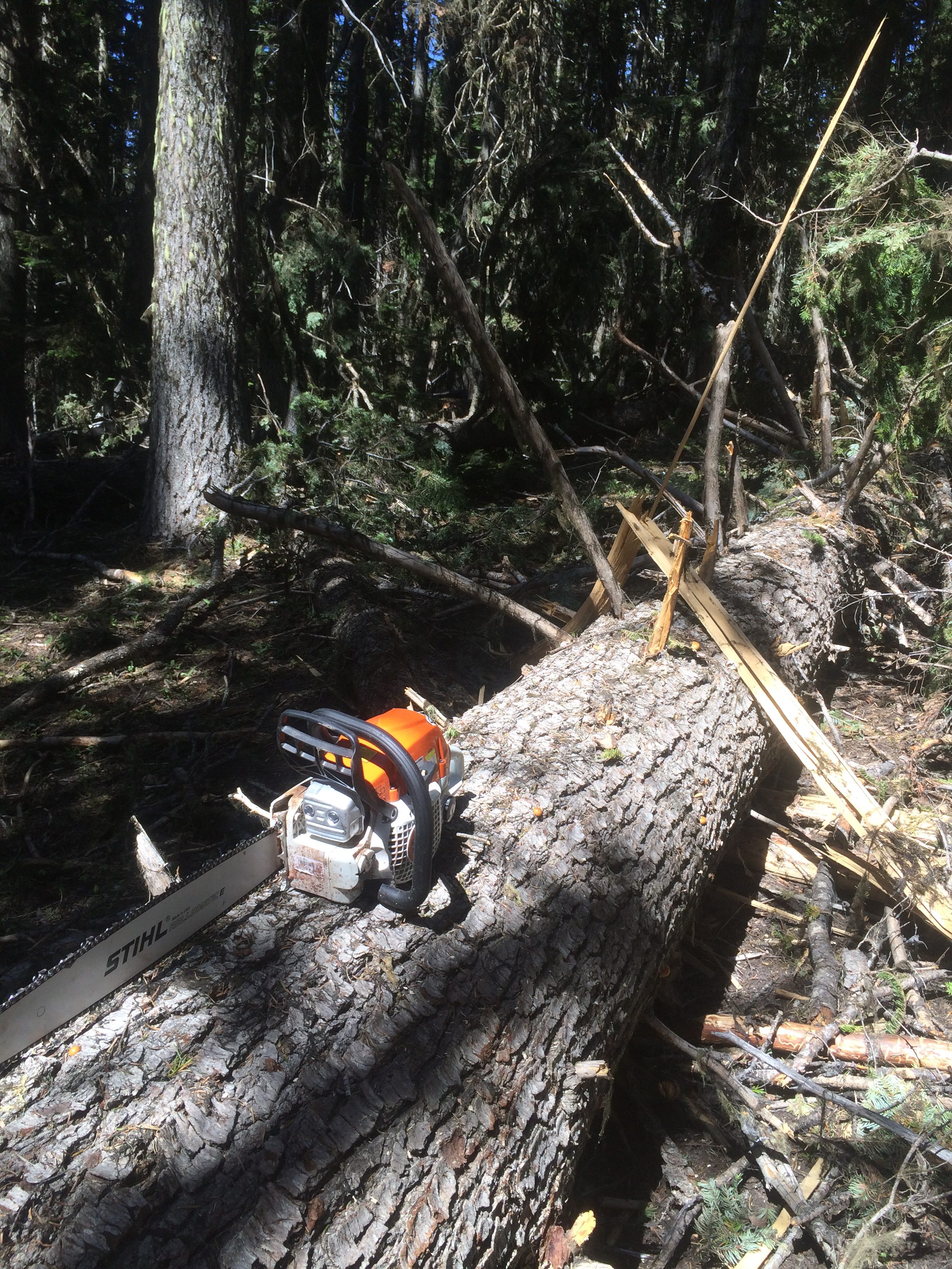
The winter blowdown on the Mt Hood National Forest 44 Trails single track system was substantial this year, but we are making solid progress clearing the damage.
You can now add the 15 Mile / Cedar Creek (#456/#457) loop and Cooks Meadow (#639) to the open and ready to ride list!
That brings the 44 zone close to wide open. We still have work to do on upper 450 and High Prairie, but the following trails have been cleared in the past few weeks:
15 Mile / Cedar Creek loop trails #456/#457 – open
Cooks Meadow trail #639 – open
Dog River Trail # 675 – open
Surveyor’s Ridge Trail #688 – open
Knebal Springs Trail #474 – open
Bottle Prairie Trail #455- open
Eightmile Trail #496- open
Oak Ridge Trail #688A – open
Super Connector – open
The lower Cedar / 15 Mile area is still a little brushy, so throw some small loppers or hand snippers in your pack and spend a little time helping us brush out the overgrown spots if you head that way for a ride!
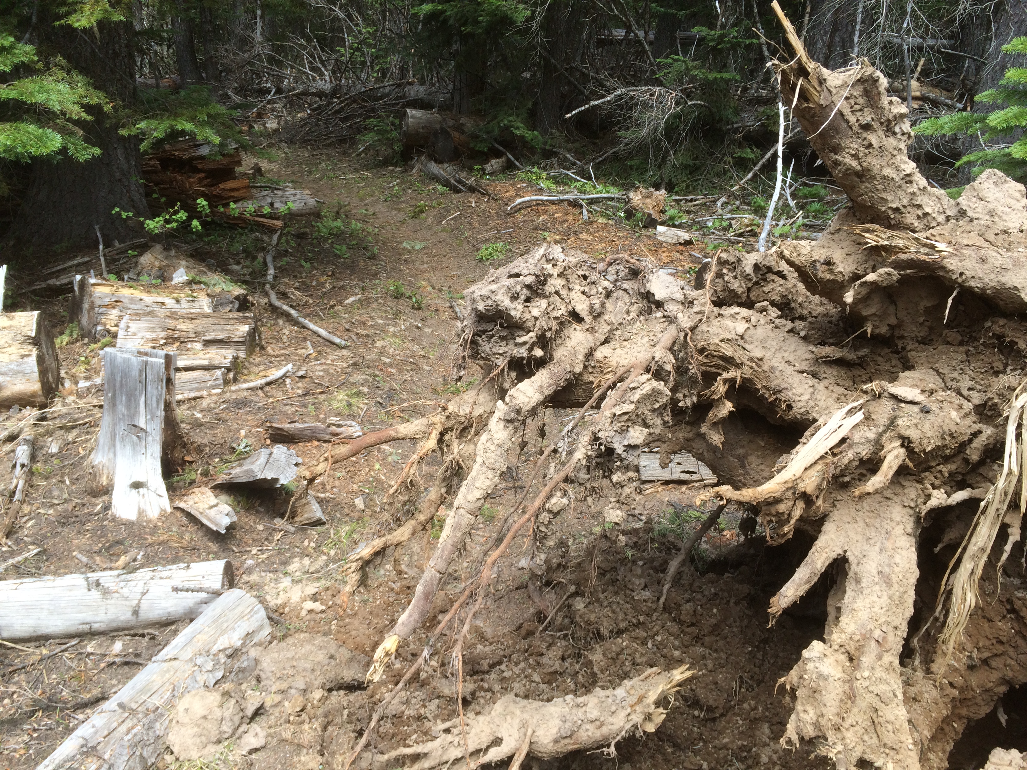
Remember, the 44 Trail System on the Mt Hood National Forest is a multi-use system and trails are open to hiker, horse and biker traffic. Please be respectful of all users! Also keep in mind that trees fall during every season and new trees may come down since we have cleared. There a places where uprooted trees and tree impacts have damaged the trail tread, so ride and hike with care.
Finally, if you enjoy the 44 Trail System on the Mt Hood National Forest, turn out for one of our 2016 trail work days to return some energy to the trails or donate to the 44 Trails so we can help cover costs of logout and trail repair materials!
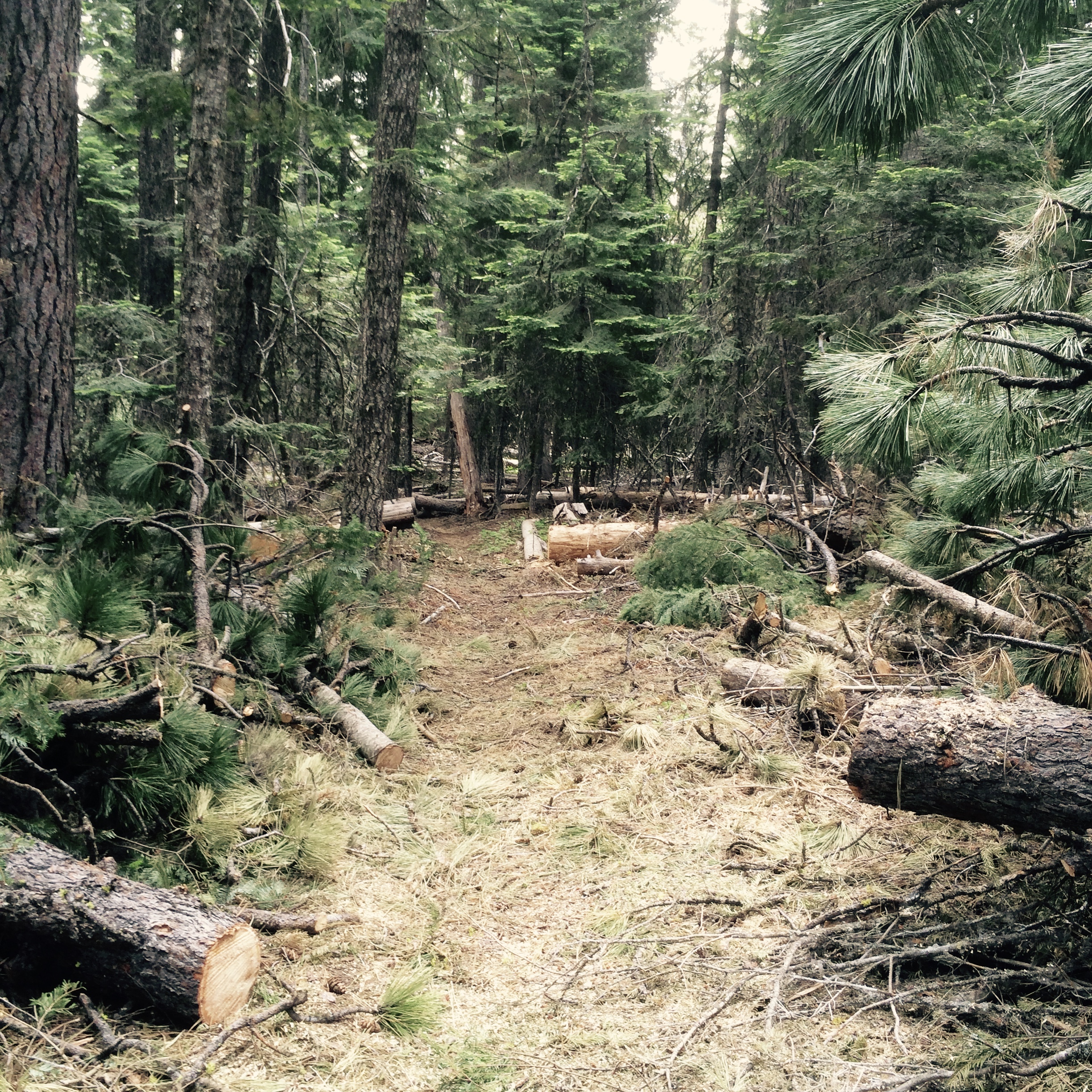
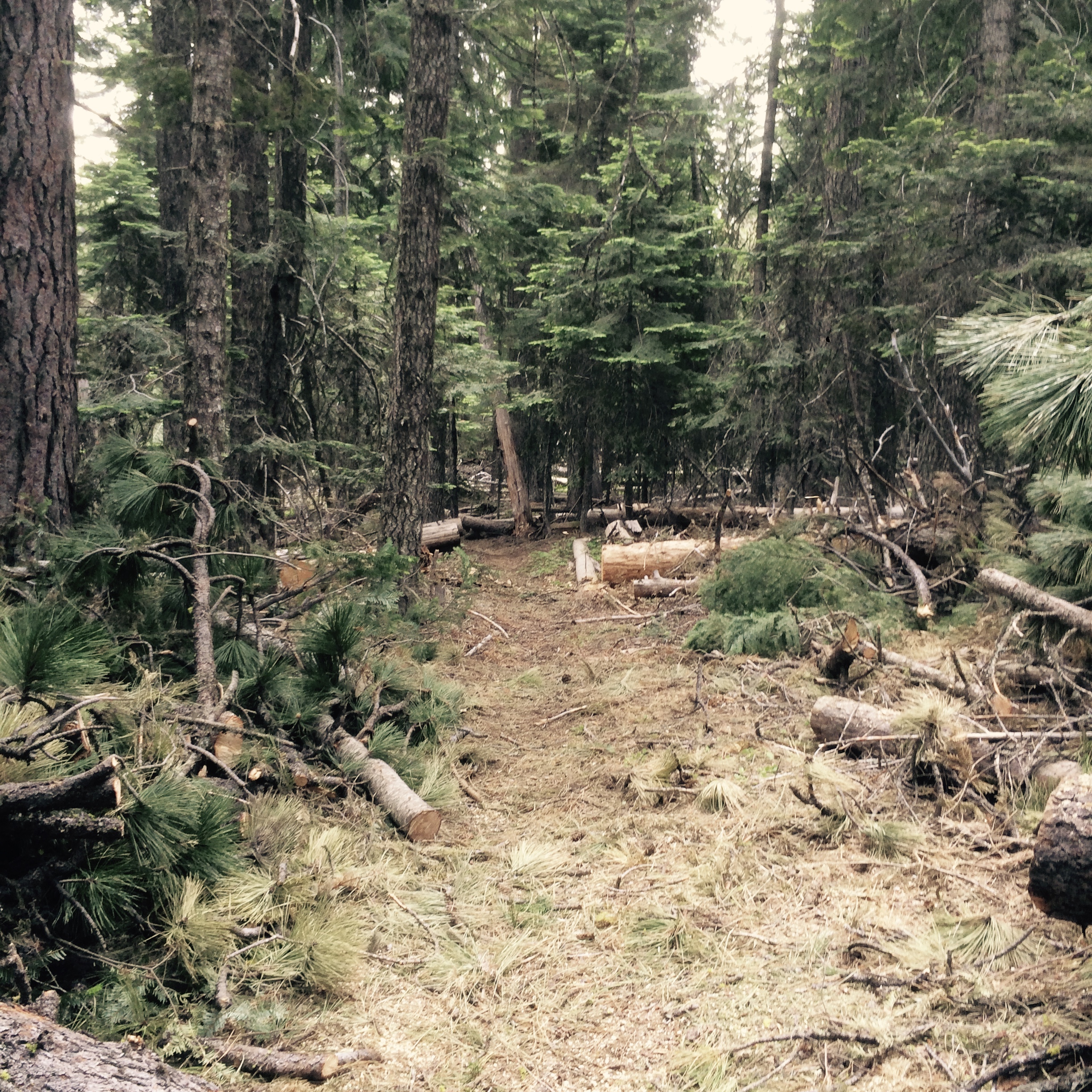
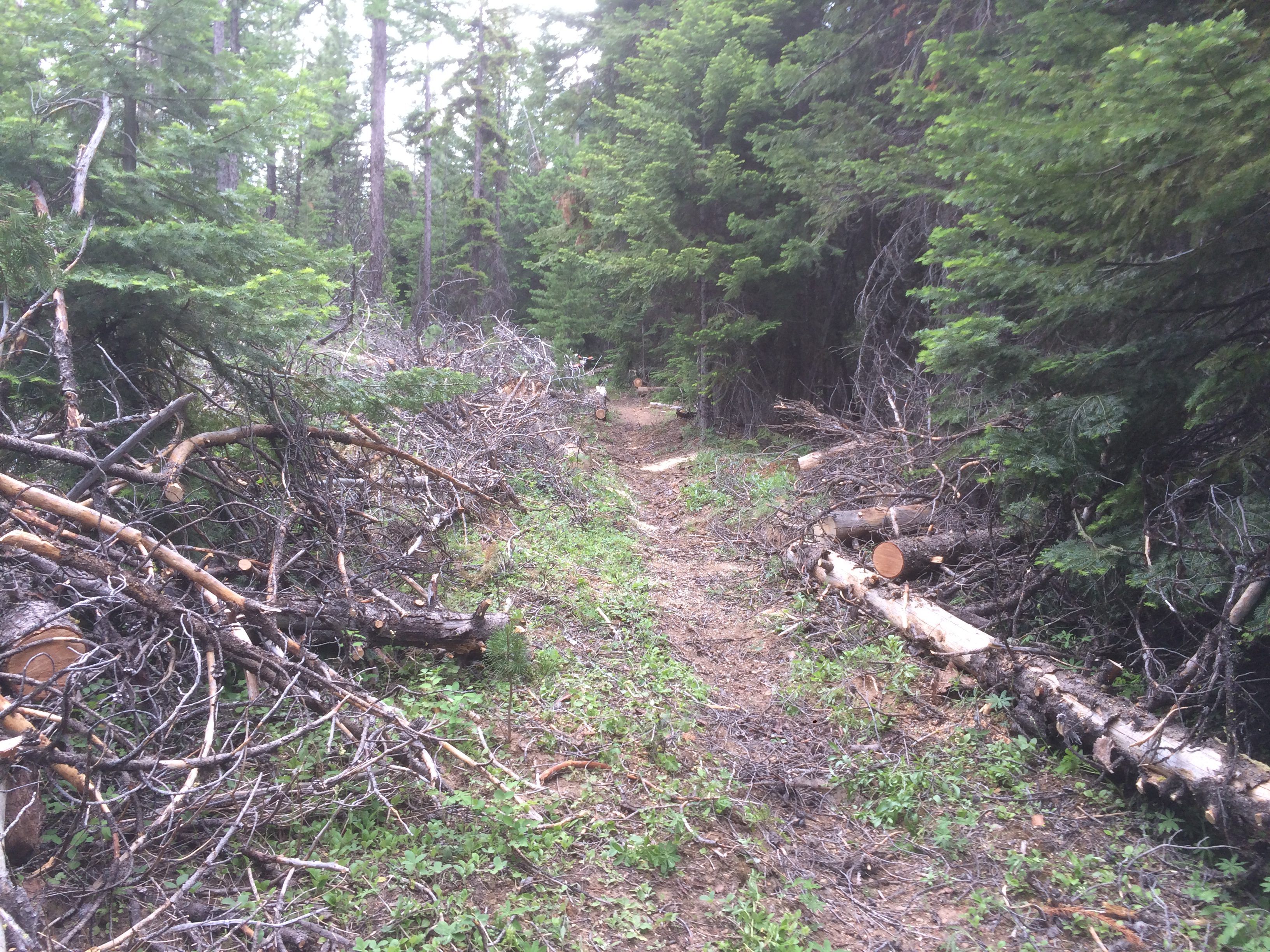
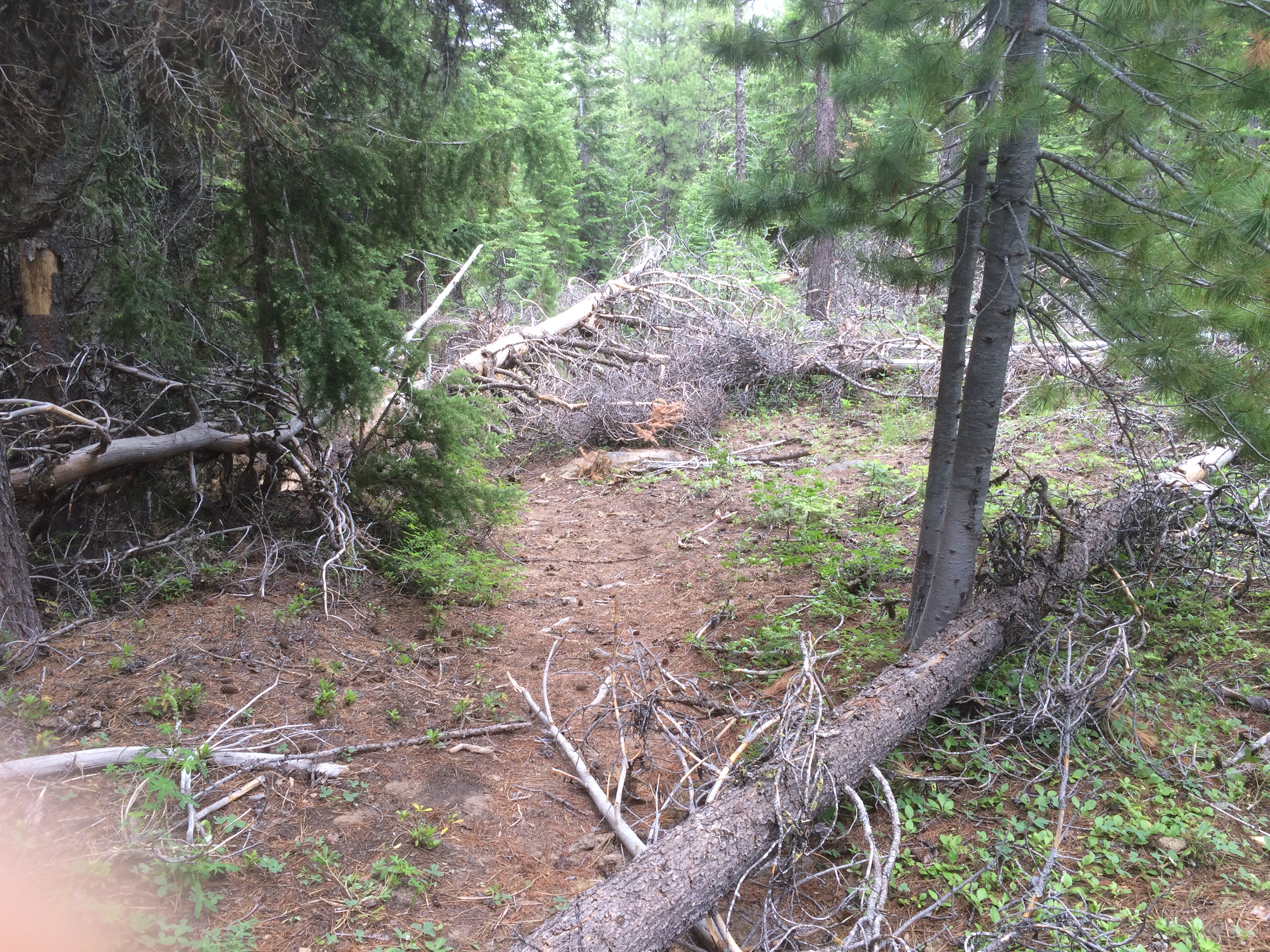
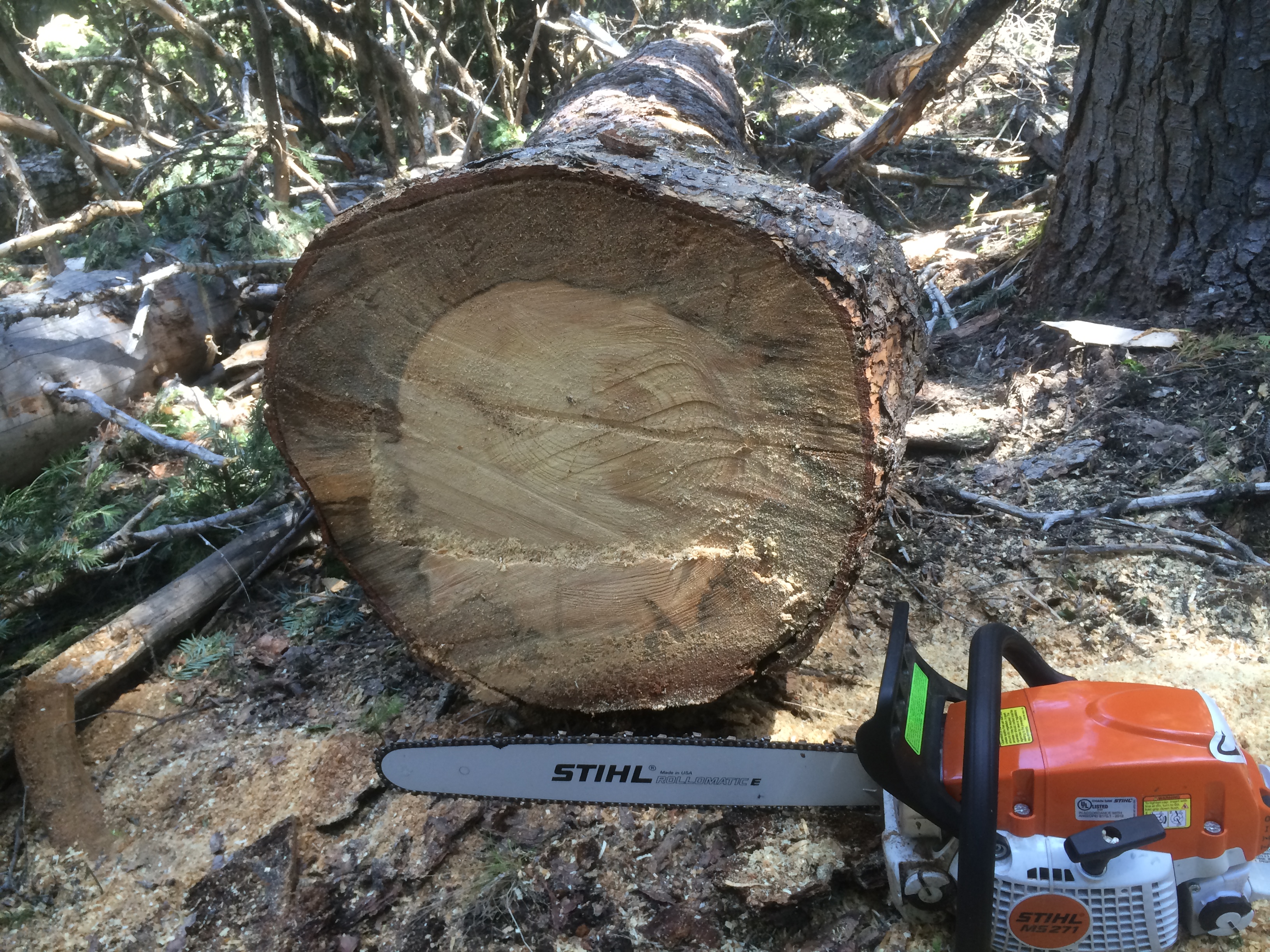
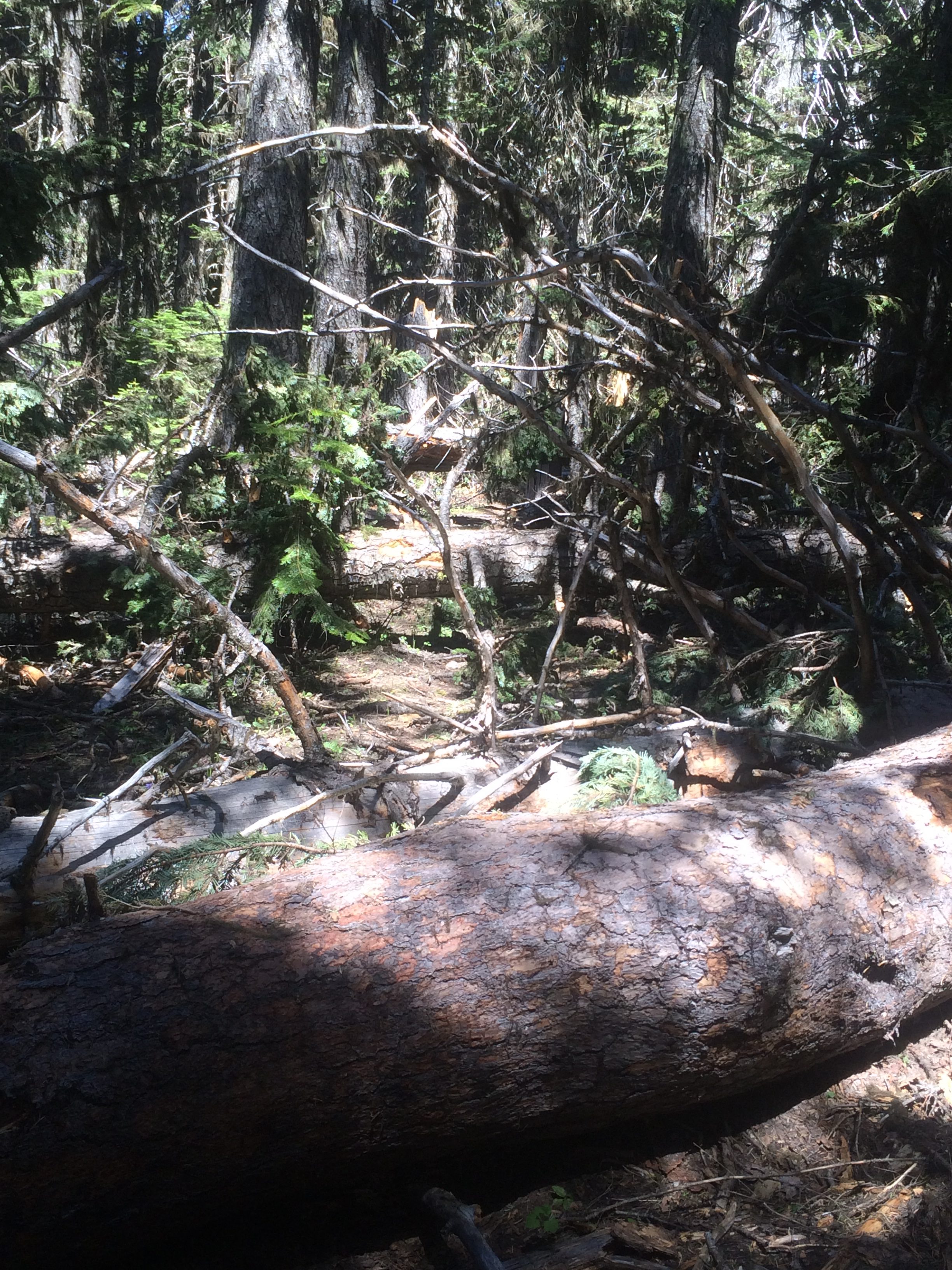
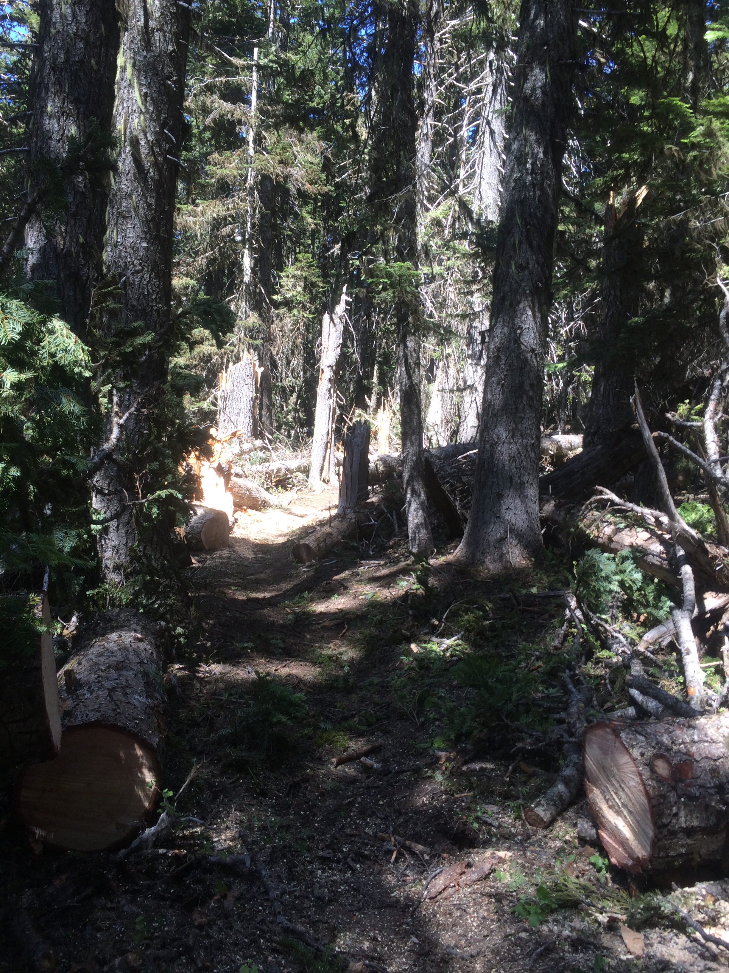
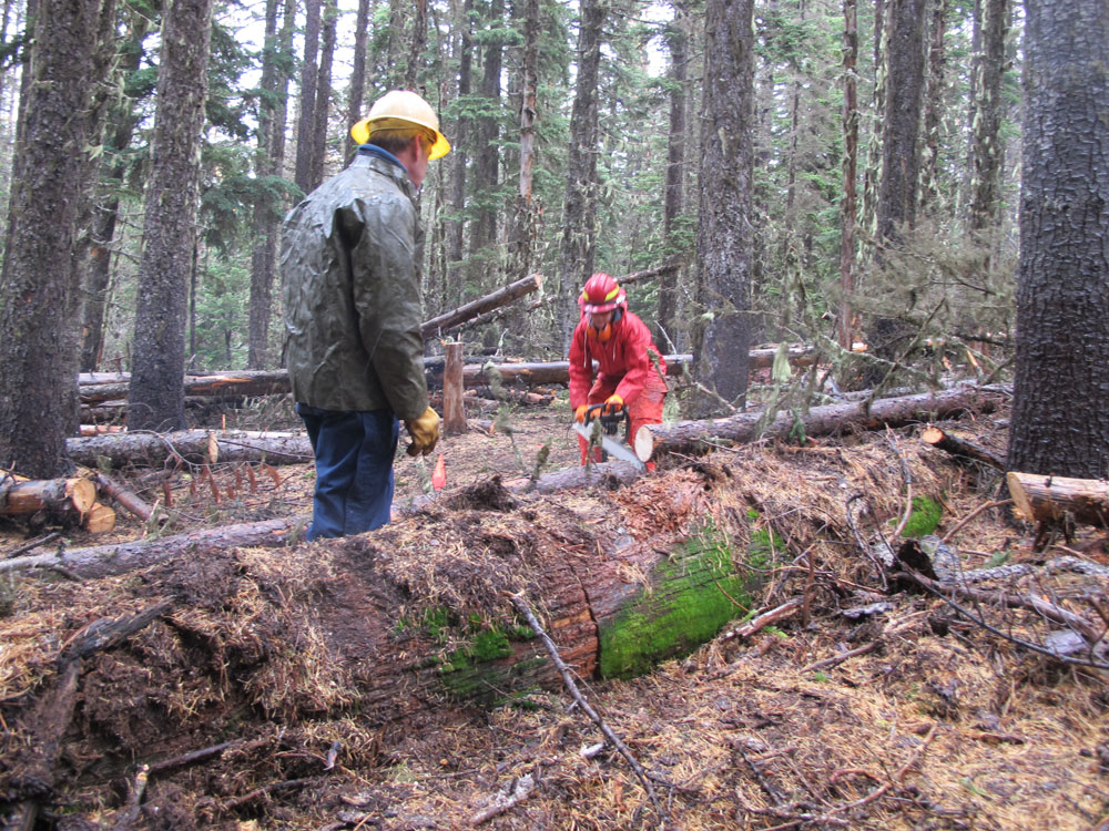
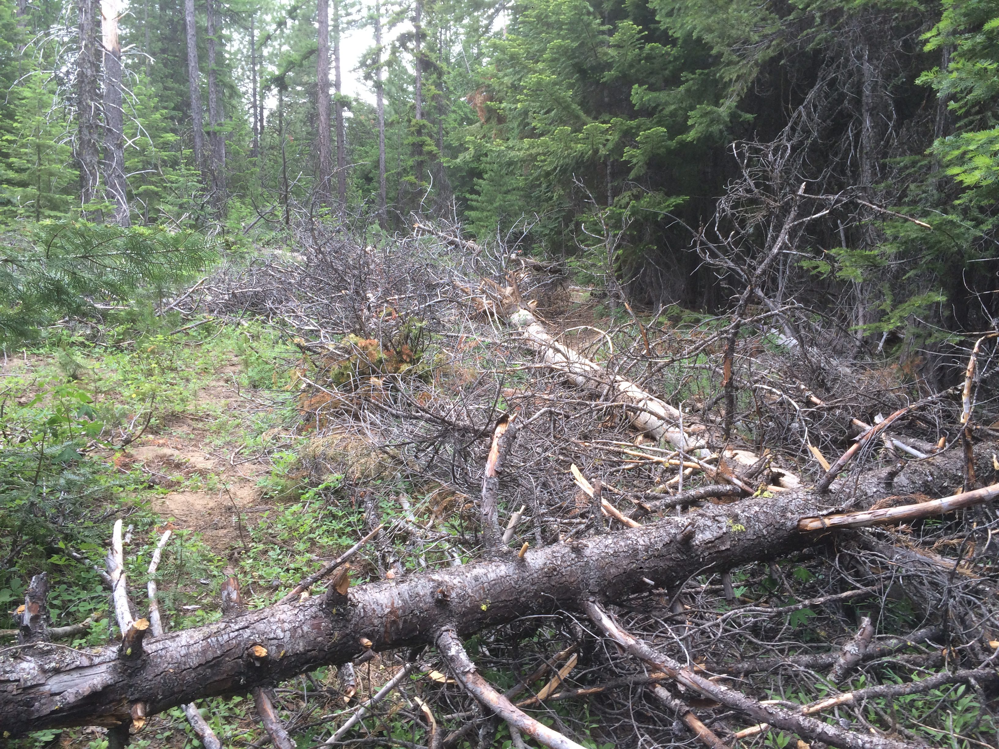
Here’s a few before and after shots of a couple 15 Mile / Cedar sections cleared today.