Surveyor’s Ridge Trail Re-Route

Surveyor’s Ridge Trail Re-Route

single track trail construction
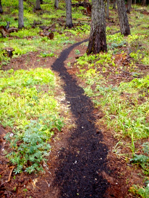
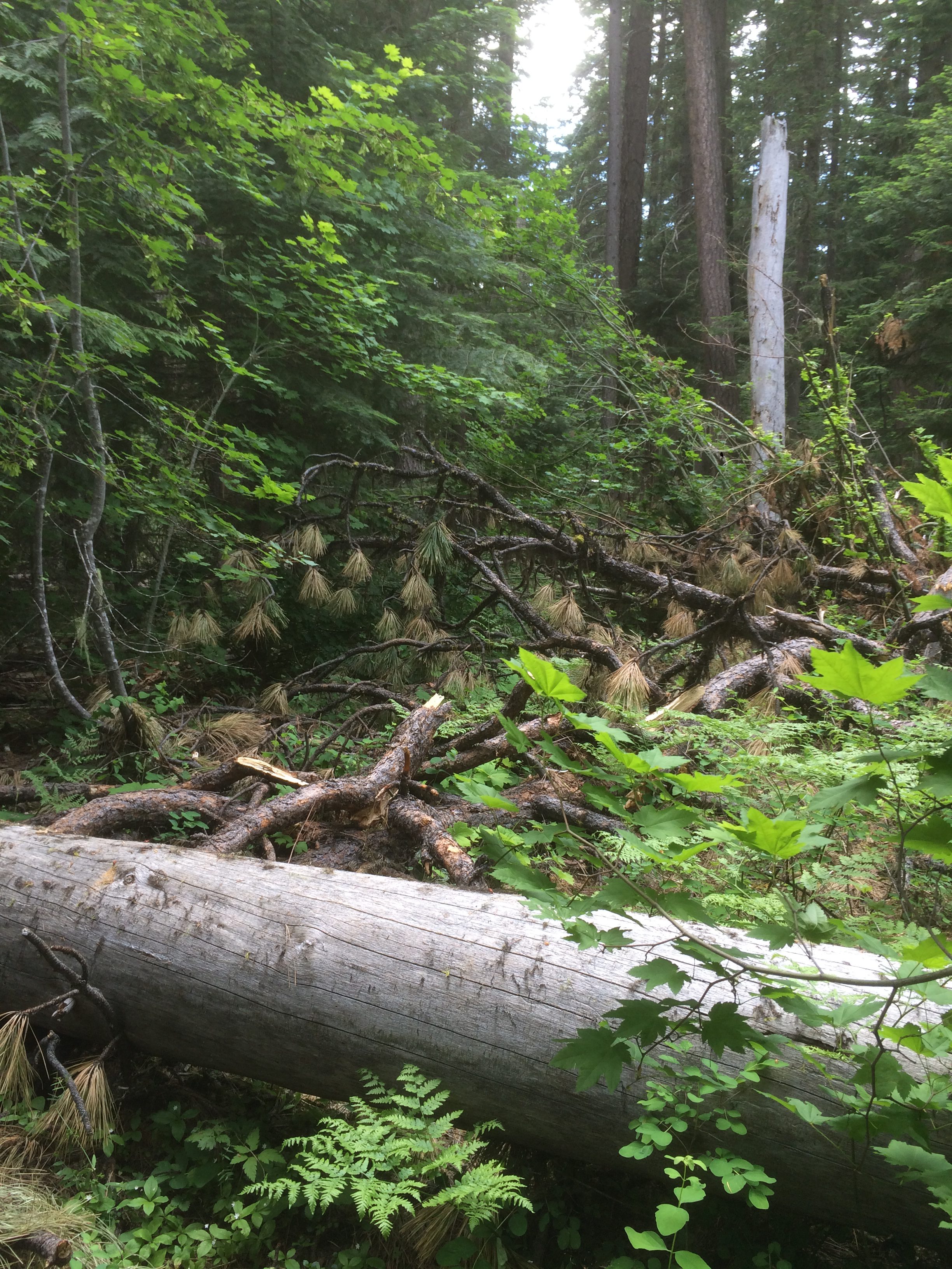
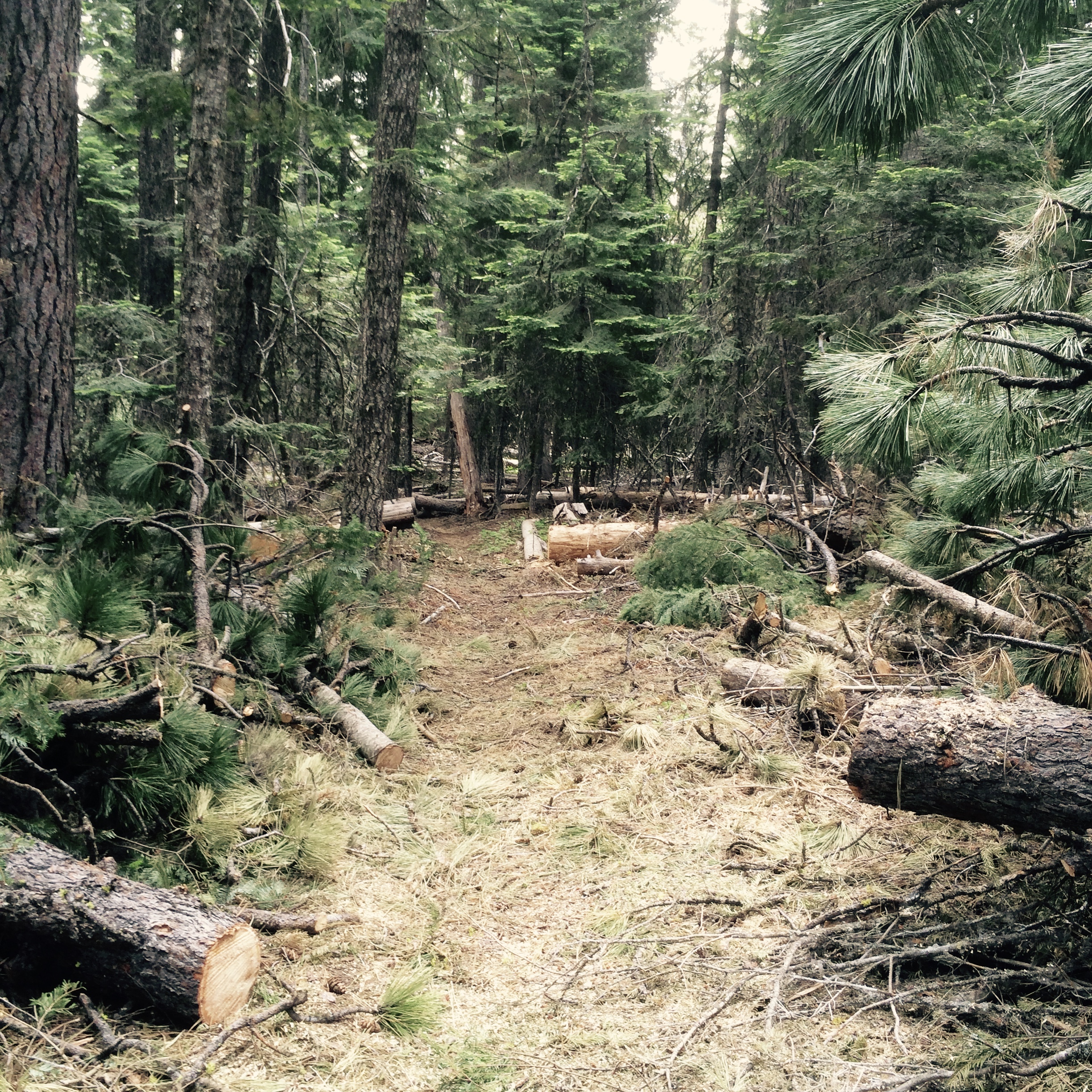
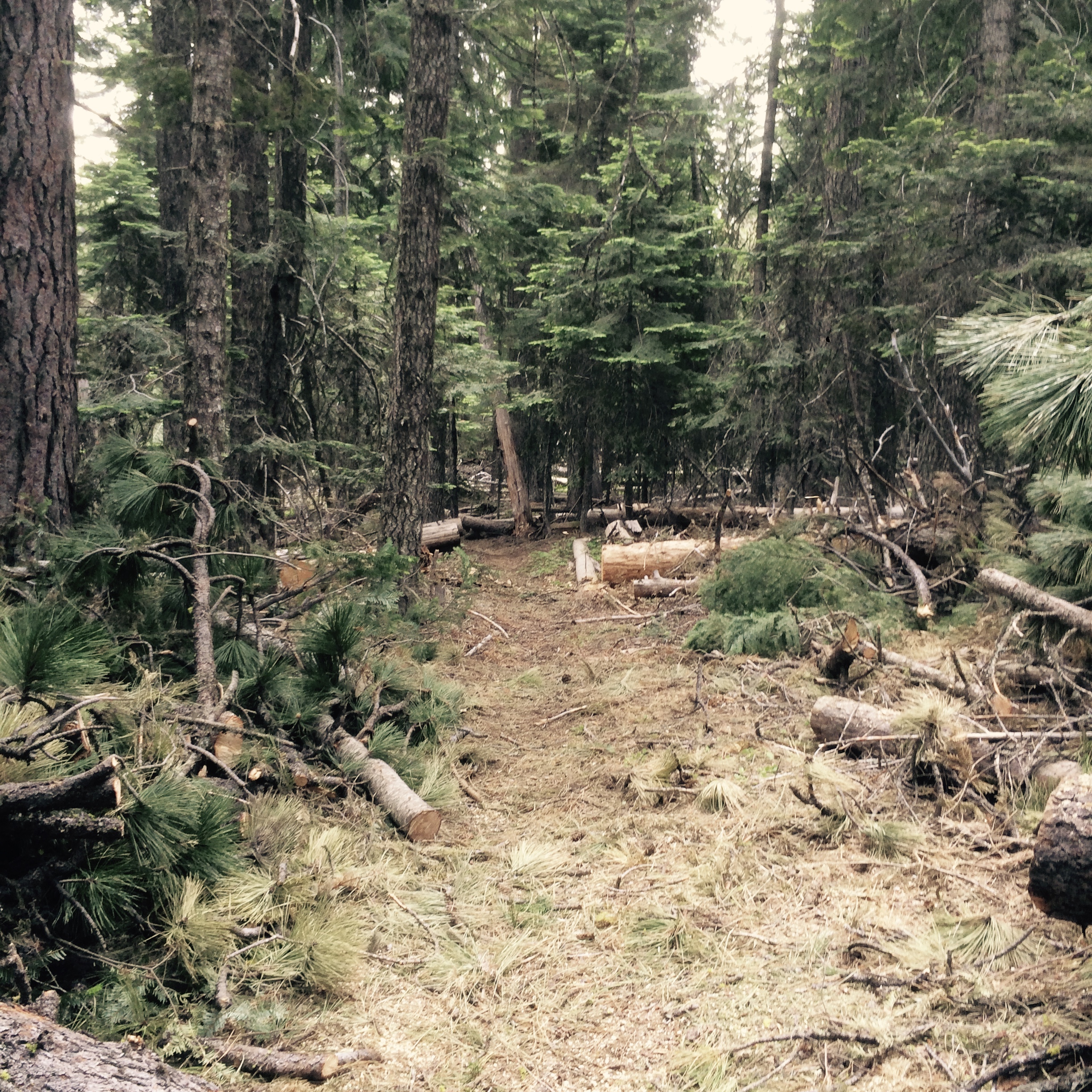
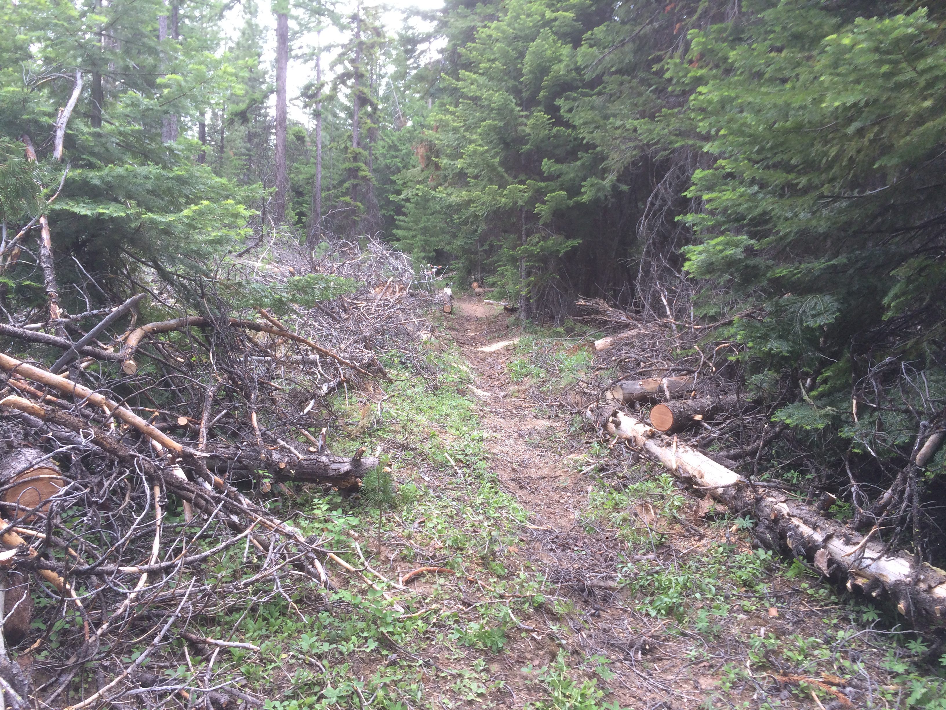
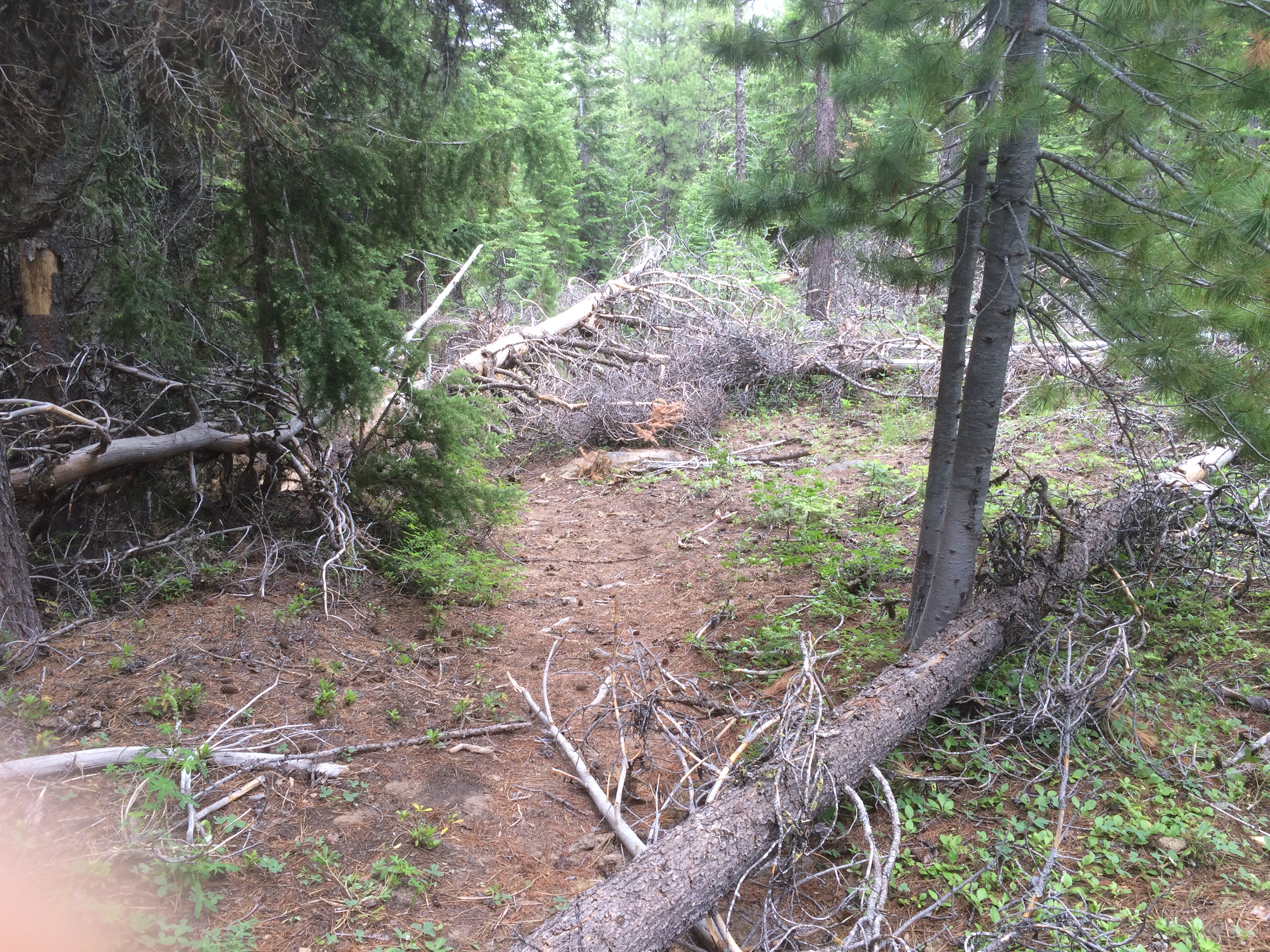
The Mt Hood National Forest announced their decision to authorize the re-route of approximately three miles of the Surveyor’s Ridge trail (trail #668) where it parallels the current water pipeline for The Dalles – near the start of Surveyor’s.

The project is necessary because of a comprehensive project to update The Dalles Watershed Pipeline that will interrupt and conflict with the existing Surveyor’s trail infrastructure. In addition, the Barlow District Ranger, Kameron Sam, authorized the adoption of the pipeline project staging area into a new recreational user parking/staging area once the pipeline project is complete. This is all good news for the multi-use trail system accessible from Forest Road 44.

Here’s the quick snip directly from the decision document to support the Surveyor re-route. Read full Surveyor’s decision document here.

DESCRIPTION OF DECISION

“It is my decision to authorize the rerouting of approximately 3 miles of the existing Surveyors Ridge Trail #688 where it follows the Dalles Pipeline. The north end of the reroute would provide a short loop approximately .7 miles in length for non-motorized recreationists looking for a short distance trail opportunity. The reroute would also connect Surveyors Ridge Trail directly to the Super Connector. The area that will be used for staging for reconstruction of the pipeline would become a trailhead 1.5 acres in size. The trailhead would provide needed centralized parking for the trail system in the vicinity of Forest Road 44.

The existing Surveyors Ridge Trailhead would remain accessible; however, this trailhead is inadequate for the amount of use it receives. The new trailhead would be large enough to accommodate the amount of use the trail system receives. The segment of Surveyors Ridge Trail #688 that would be impacted by the pipeline replacement would remain open to non-motorized travel, although it would not provide the same semi-primitive experience it now provides.”

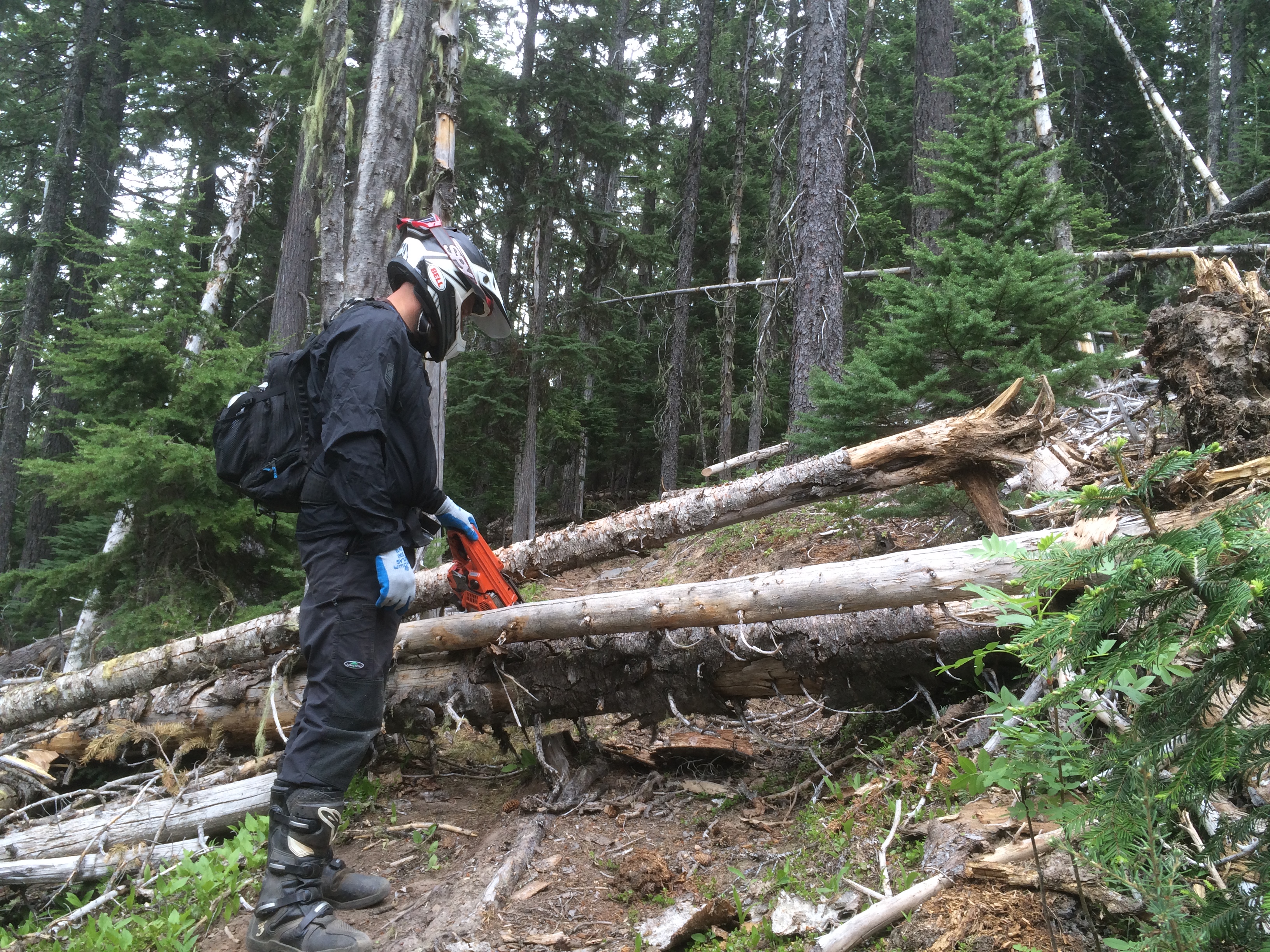
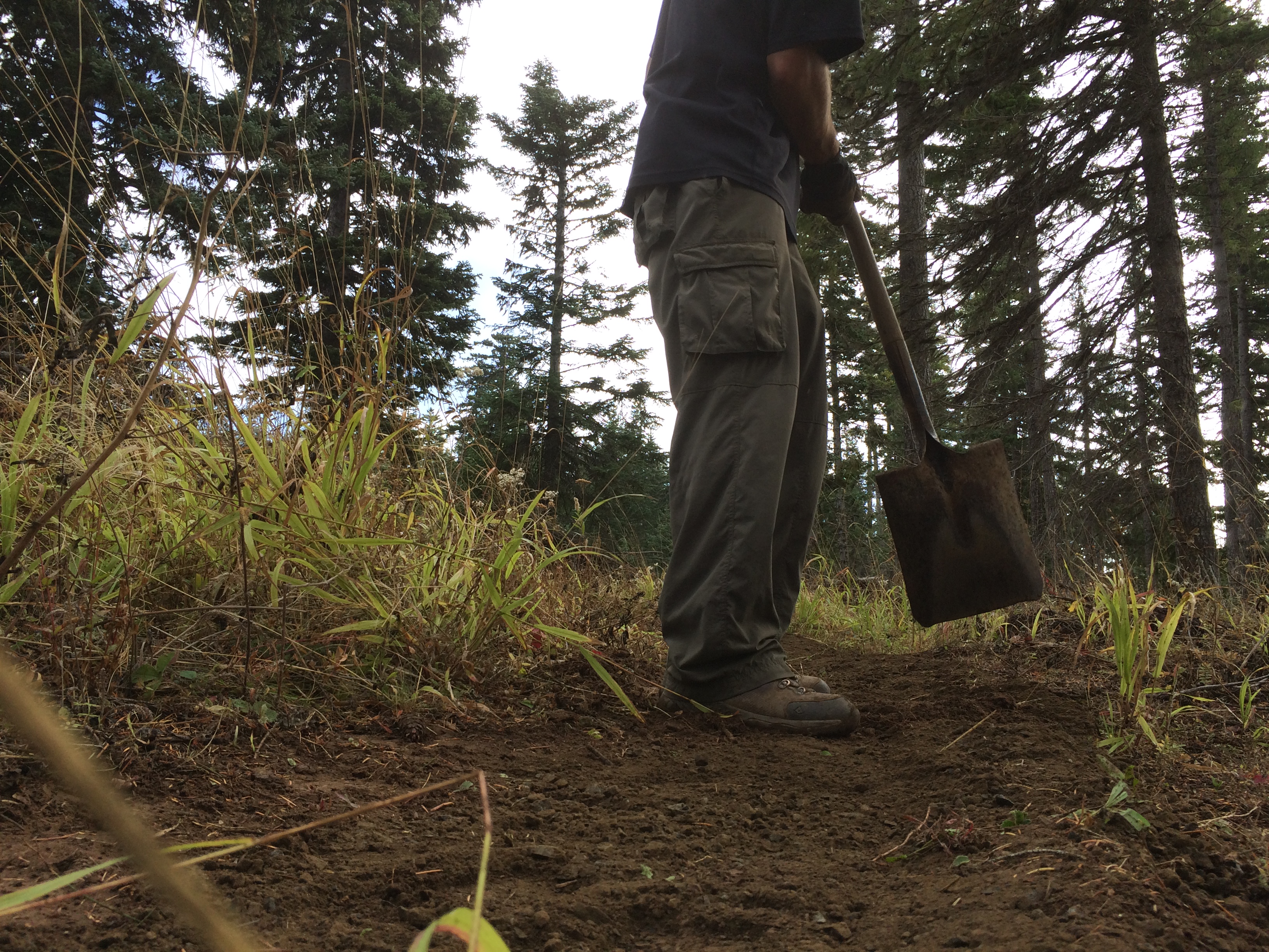
44 Trails hopes to slide this project into the trail work mix after we finish the Cooks Meadow Extension project early this fall. Stay tuned.

July 23 Cooks Meadow Extension Project

July 23 Cooks Meadow Extension Hand-Built Singletrack

hand-built singletrackHey there 44 Trails riders!

Saturday, July 23 is our first full-scale trail work day of the season, and we will be working on the Cooks Meadow Extension Trail.

We’ve been hard at work prepping the area and now it’s hand-built singletrack time!

We need you, of course, plus Metal Rakes, a few McLeods, flat shovels and sets of loppers.

Helmets/hardhats (bike helmets ok) are required as are long pants, work boots and gloves.

We’ll probably work ’til about 2pm and will have sandwiches from the awesome NYC City Sub Shop in Hood River for the crew.

Working the pin line on the Cooks Meadow Extension - what a view!

Working the pin line on the Cooks Meadow Extension – what a view!

Although the trail is arguably just roughed in, it can be ridden, especially the lower half. In fact, riding it will help establish it. So, bring your bike for an aprés trail work pedal!

Want to know more about the trail? check out the map

WHEN: 
Saturday July 23, 2016 @ 9am – 2pm
Meet 9am @ Little John SnoPark on Highway 35
We’ll have coffee thanks to Dog River Coffee in HR and sign-in at the SnoPark and then move up to the work site as a group.

PROJECT:
Hand-Built tread work on Cooks Meadow Extension trail.

TOOLS:
Helmet/hardhat (bike helmets ok), long pants gloves, and work boots required.
Hand tools – METAL RAKES ARE TOOL OF CHOICE

hood river singletrack

15 Mile and Cooks Meadow Open!

44 trails single track

Hey, where did the trail go?

The winter blowdown on the Mt Hood National Forest 44 Trails single track system was substantial this year, but we are making solid progress clearing the damage.

You can now add the 15 Mile / Cedar Creek (#456/#457) loop and Cooks Meadow (#639) to the open and ready to ride list!

That brings the 44 zone close to wide open. We still have work to do on upper 450 and High Prairie, but the following trails have been cleared in the past few weeks:

15 Mile / Cedar Creek loop trails #456/#457 – open
Cooks Meadow trail #639 – open
Dog River Trail # 675 – open
Surveyor’s Ridge Trail #688 – open
Knebal Springs Trail #474 – open
Bottle Prairie Trail #455- open
Eightmile Trail #496- open
Oak Ridge Trail #688A – open
Super Connector – open

The lower Cedar / 15 Mile area is still a little brushy, so throw some small loppers or hand snippers in your pack and spend a little time helping us brush out the overgrown spots if you head that way for a ride!

Remember, the 44 Trail System on the Mt Hood National Forest is a multi-use system and trails are open to hiker, horse and biker traffic. Please be respectful of all users! Also keep in mind that trees fall during every season and new trees may come down since we have cleared. There a places where uprooted trees and tree impacts have damaged the trail tread, so ride and hike with care.

Finally, if you enjoy the 44 Trail System on the Mt Hood National Forest, turn out for one of our 2016 trail work days to return some energy to the trails or donate to the 44 Trails so we can help cover costs of logout and trail repair materials!


Here’s a few before and after shots of a couple 15 Mile / Cedar sections cleared today.