 UPDATE: More Trails Clear as of 6/18/25
Latest Cleared Trails:
Upper 450
Cooks Meadow #639
Gunsight Ridge #685 snow patches remain
Gumjuwac #480
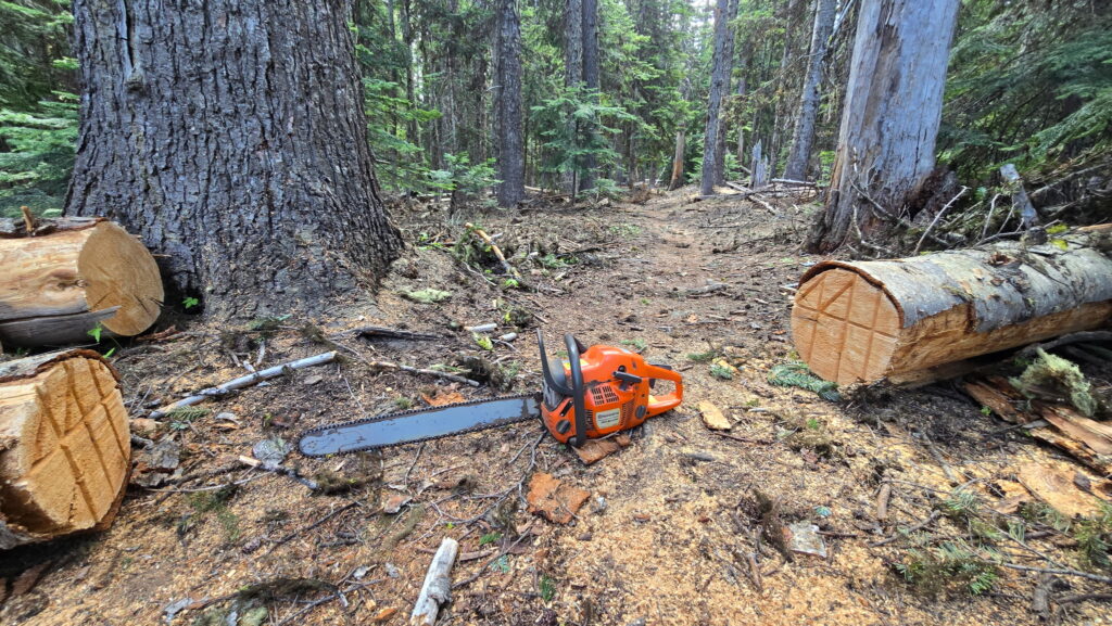
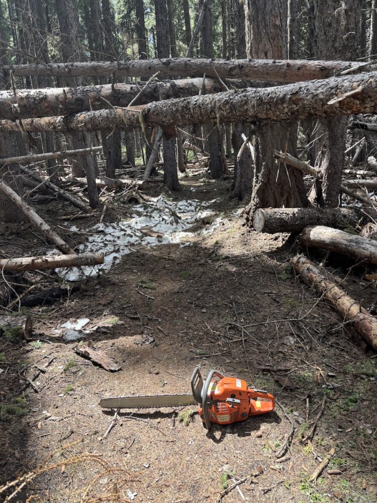
We have also seen numerous new trees come down in areas that were already cleared as remaining snow melts away, so be aware that you may still encounter issues on any trail.
Reminder: the Dog River Trail is temporarily closed while Hood River County conducts logging in the area. Read about the workaround
Current full list of cleared trails:
Surveyors Ridge Trail #688
Super Connector / Hub Loop
North Section Line Trail #451 (still a bit brushy)
8-Mile Trail #496
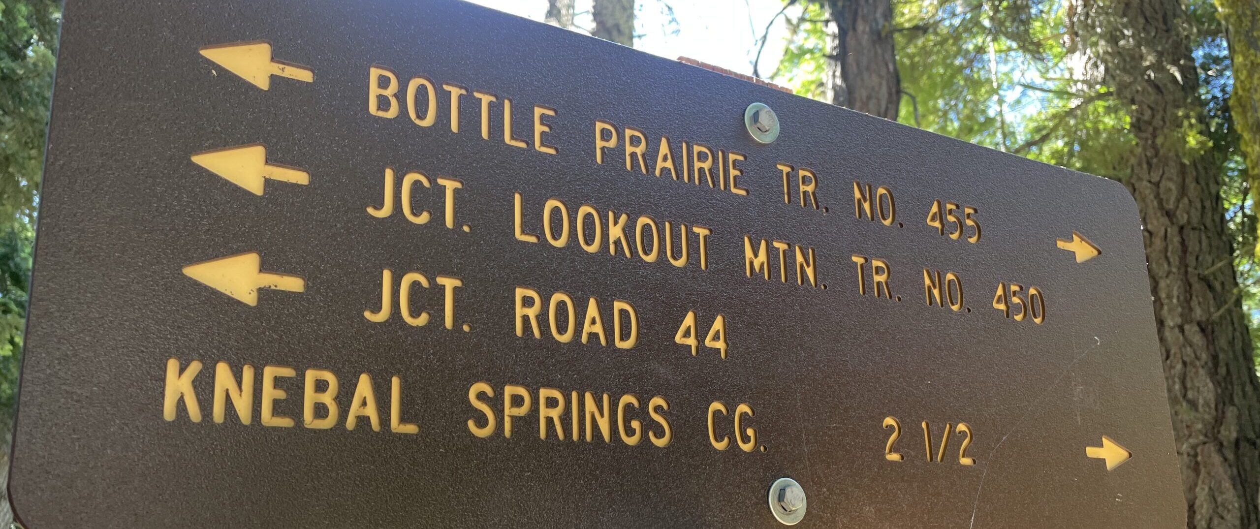
Knebal Springs Trail #474
Bottle Prairie Trail #455
Lookout Trail #450
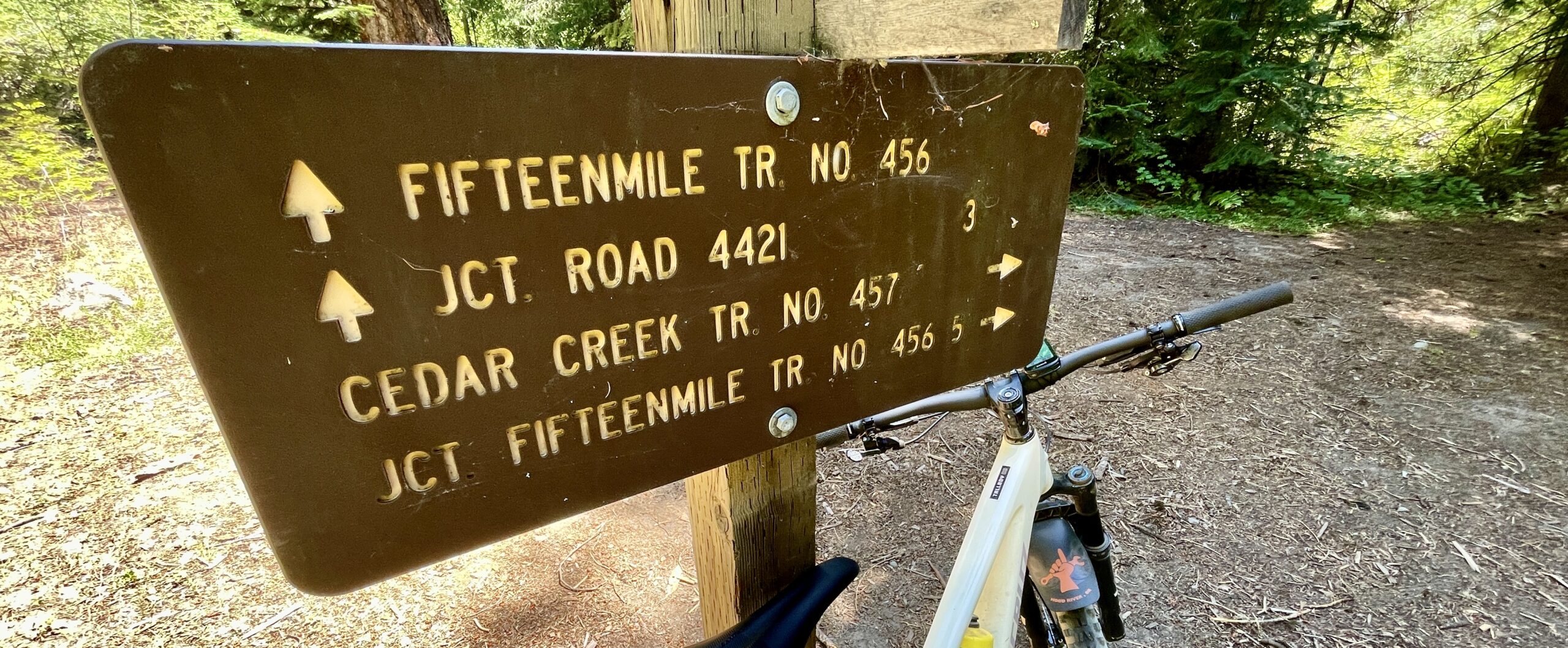
Fifteen Mile Trail #456
Lower Fifteen Mile
Underhill Trail #683
Cedar Creek #457
Upper Dog River #675 (Zig Zag to Surveyor’s South TH)
Zig Zig Trail #678
Cooks Meadow Trail #639
Gunsight Ridge Trail #685
Gumjuwac #480


Join our mailing list to learn about work parties
Or
 UPDATE: More Trails Clear as of 5/22