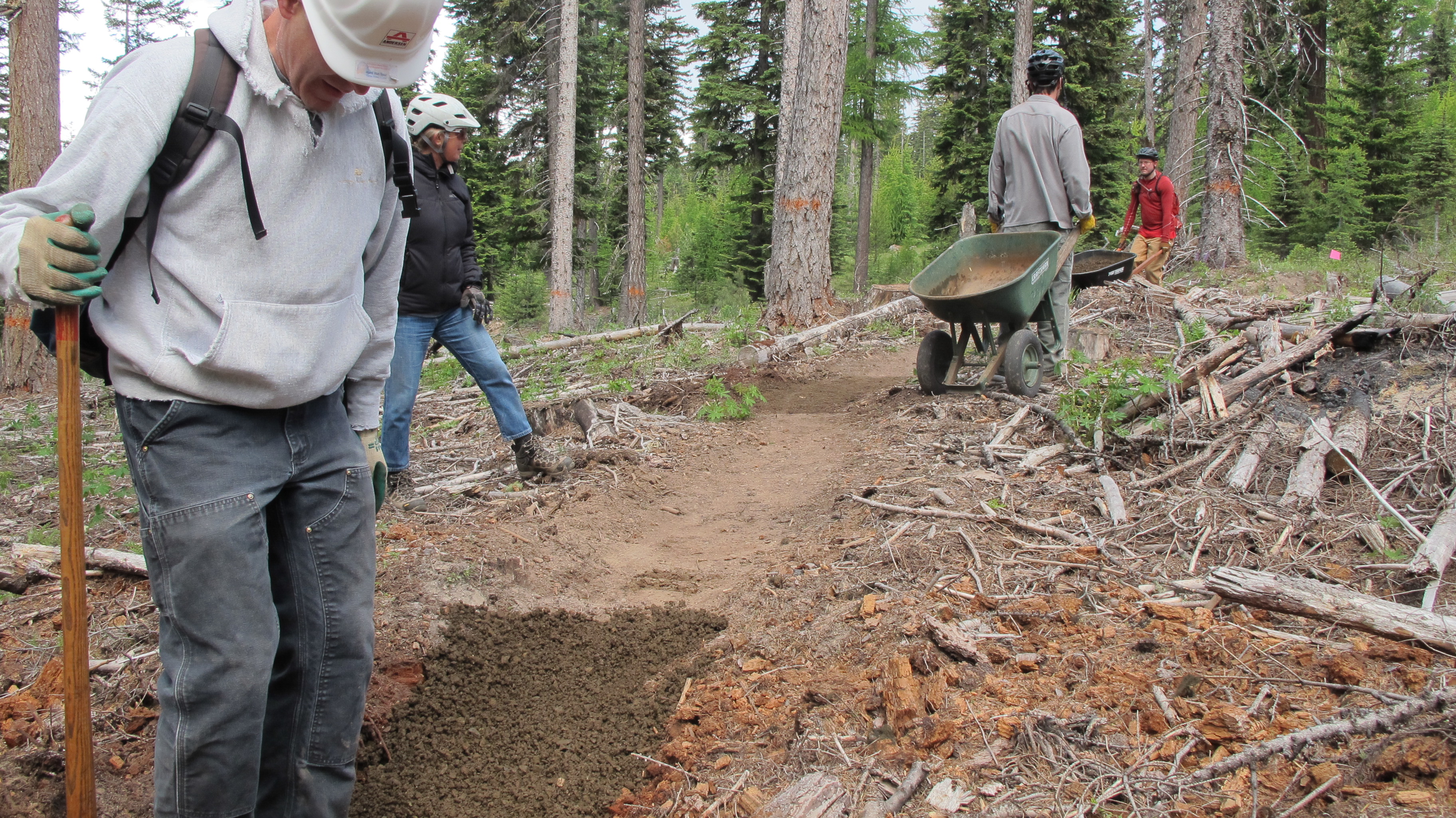
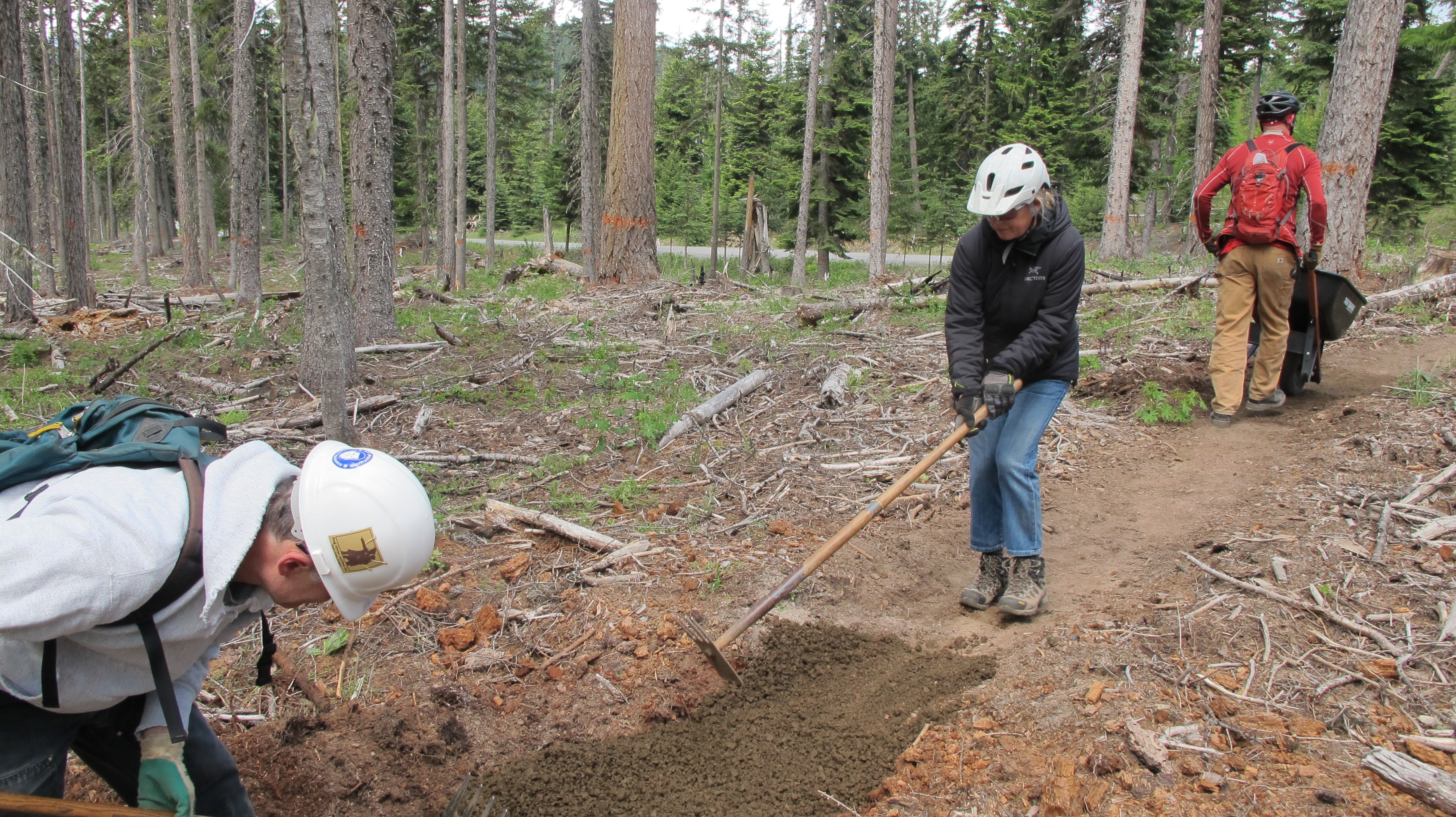
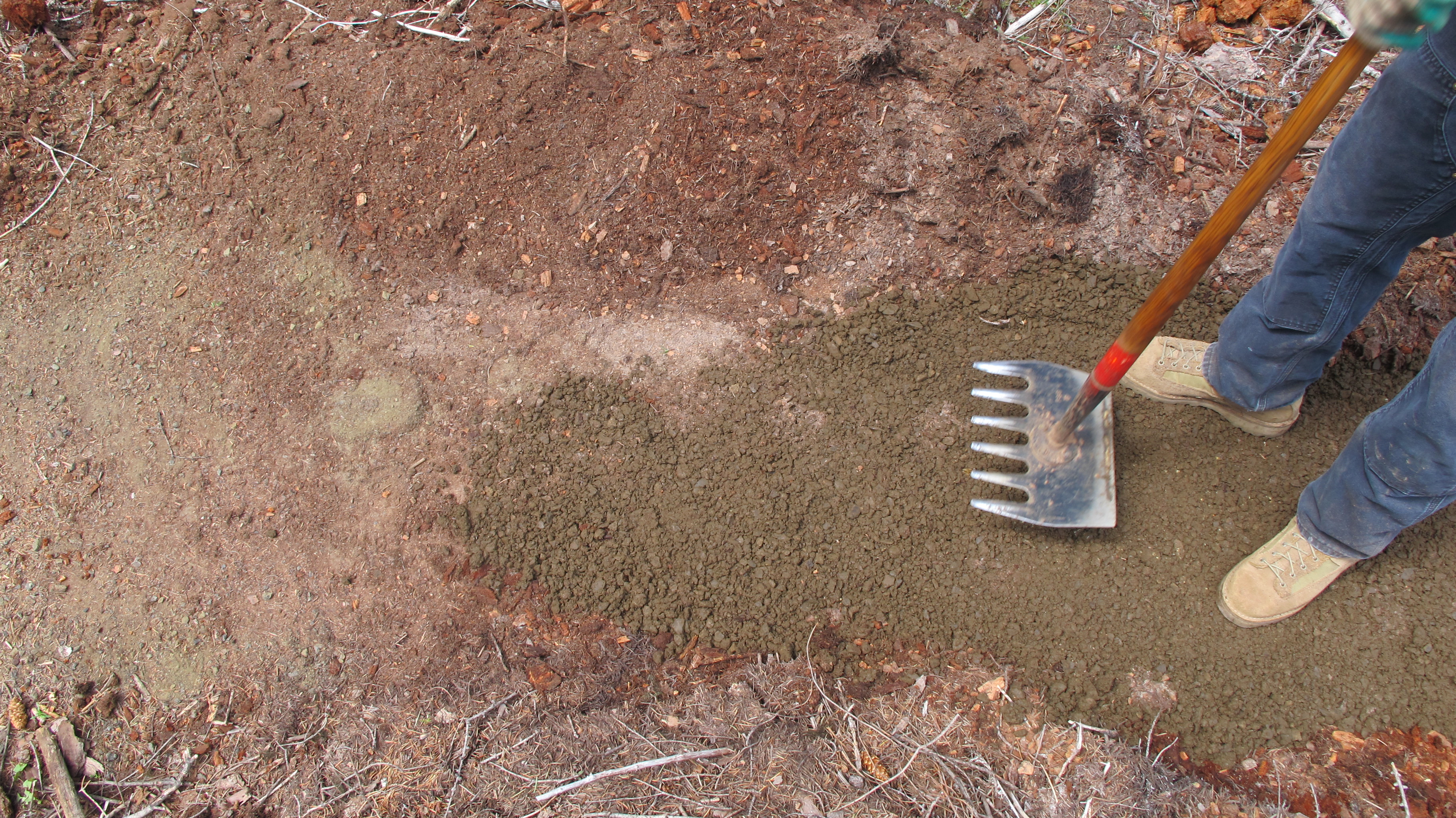
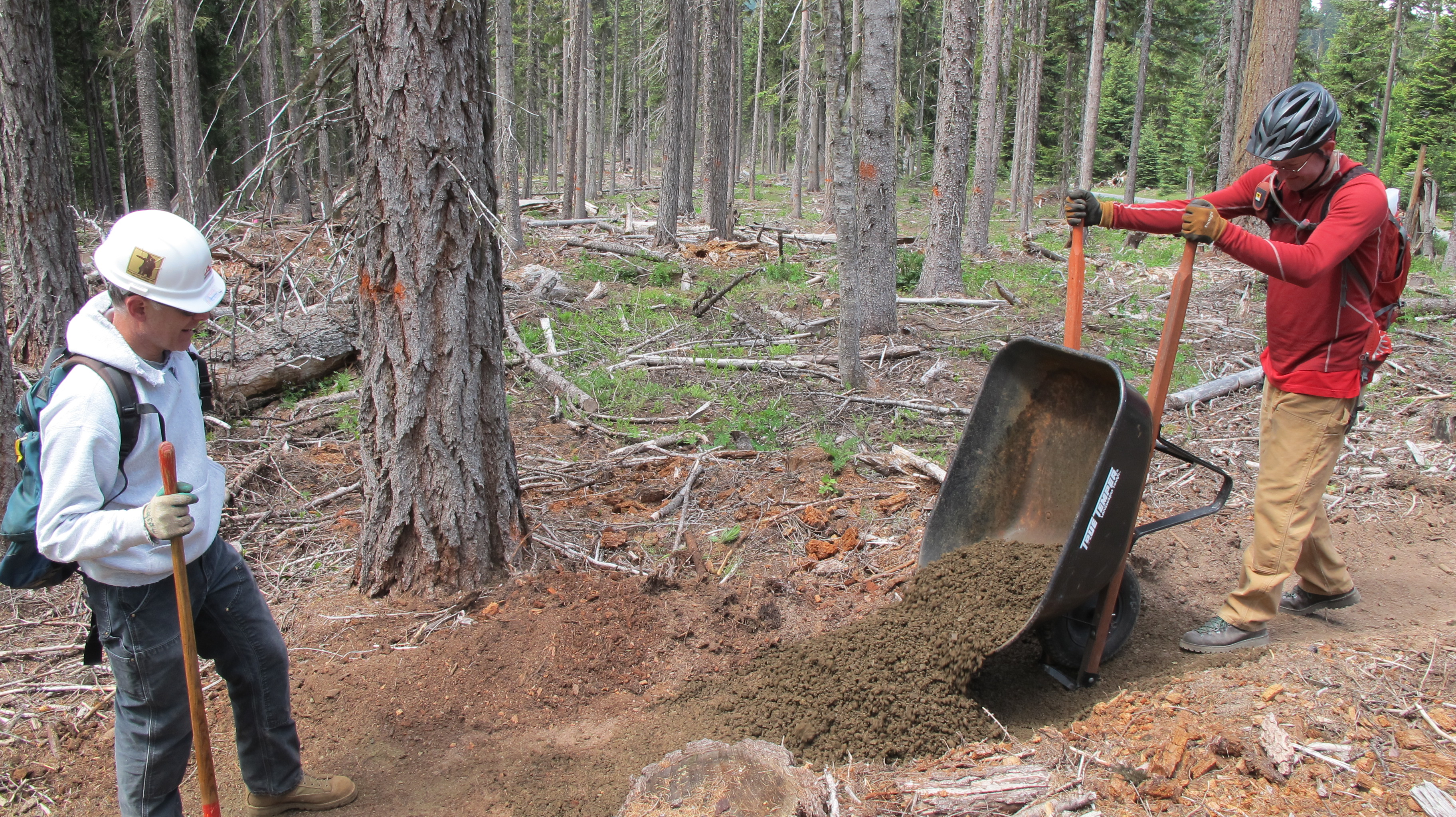
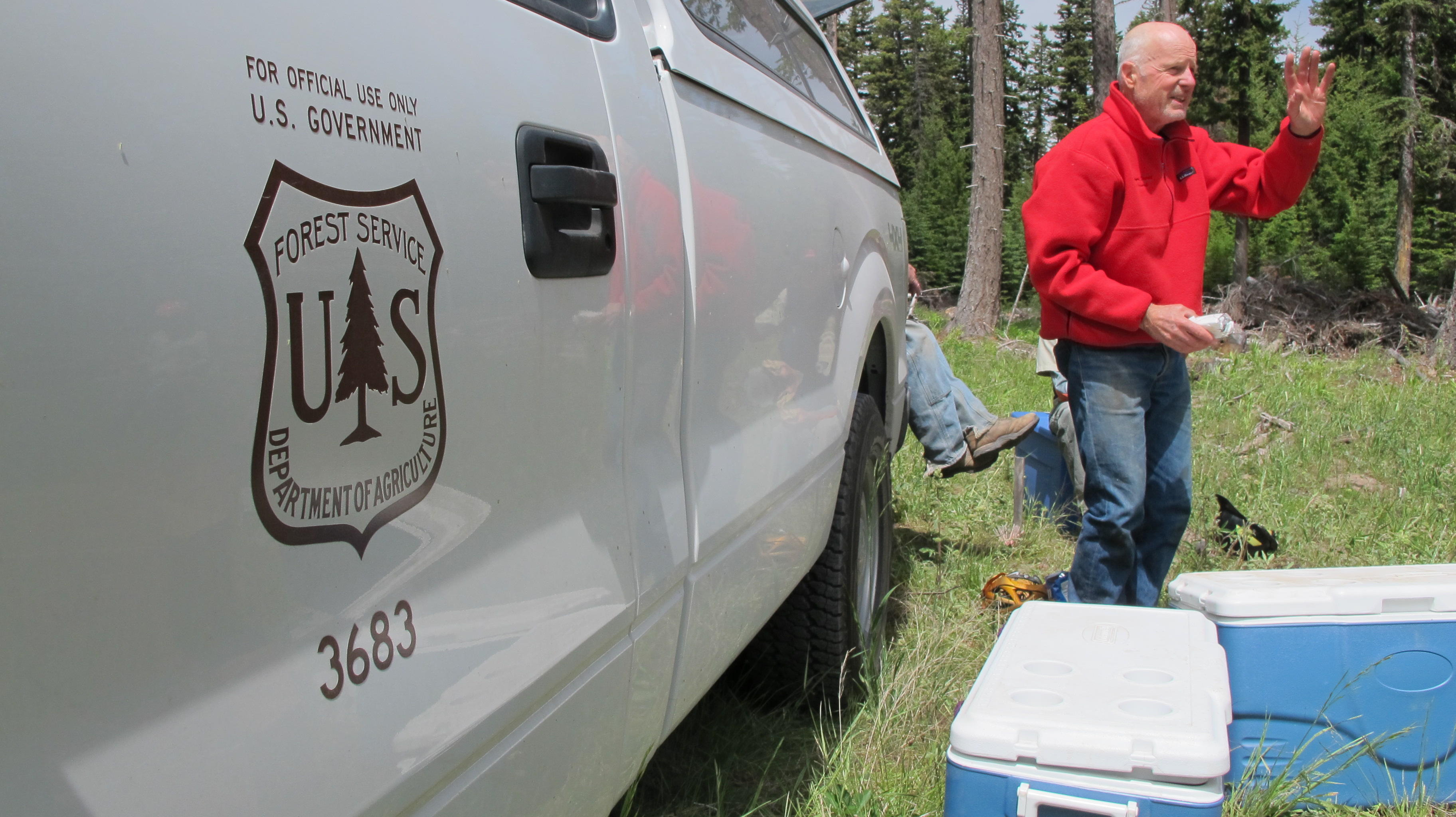
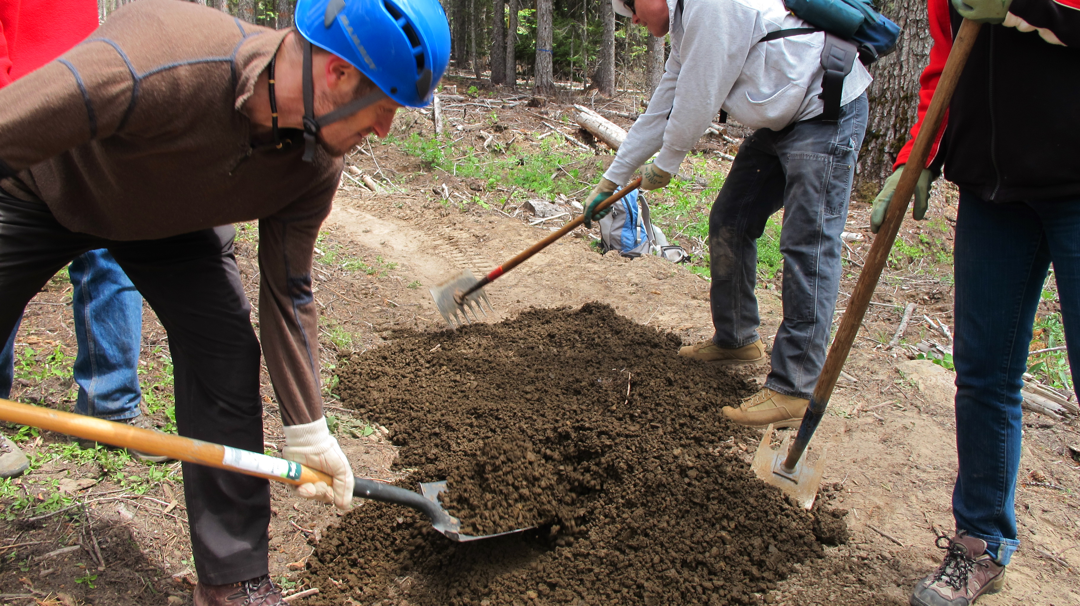
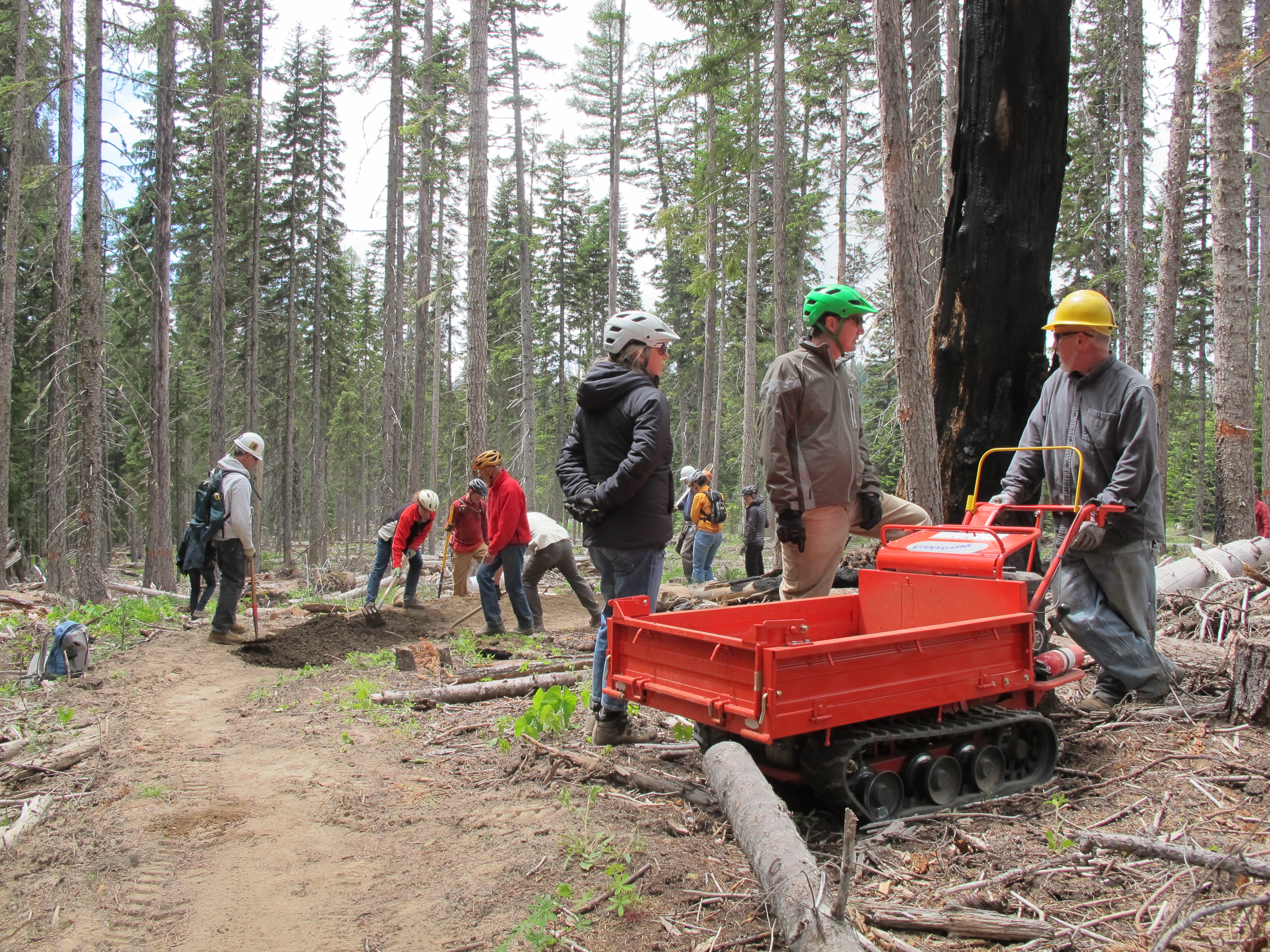
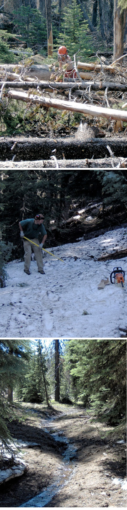
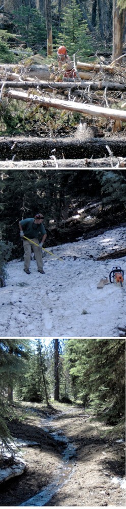
 Thanks to the hard work of our favorite USFS Ranger, Jim Thornton, and some skilled 44 Trails Association volunteers (Paul Gundlach and Dana Hale!), 8-Mile trail, Knebal Springs trail, the Super Connector, Bottle Prairie trail and 15-Mile/Cedar creek are open to USFS spec and ready for riding! You’ll still encounter a few isolated single logs, but the big blow-down sections have been cleared!
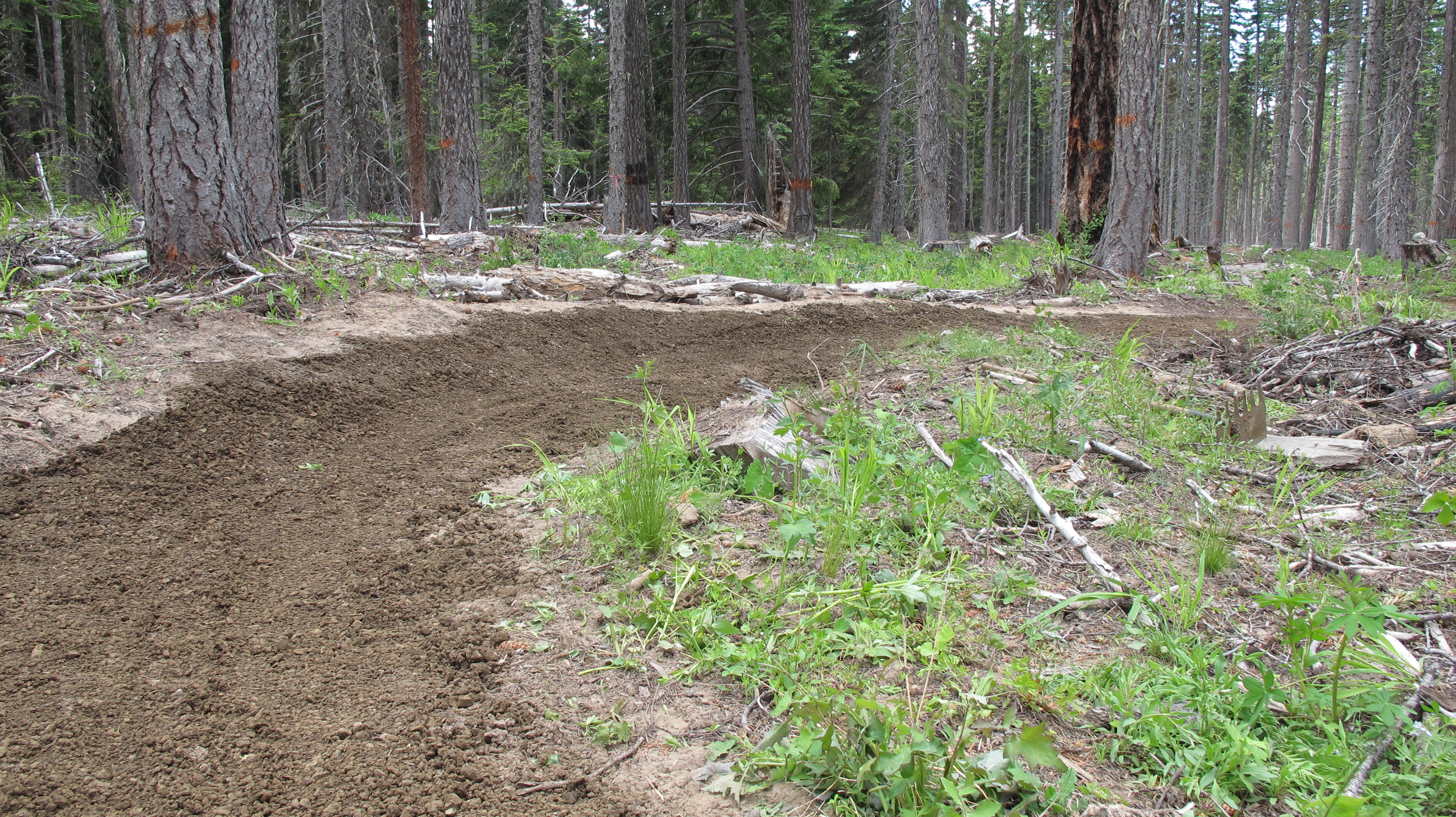
As for High Prairie and 450 up higher, it’s still a no go. Too much snow and water on the tread (see photos). So please stay off the trails to avoid permanent tread damage.
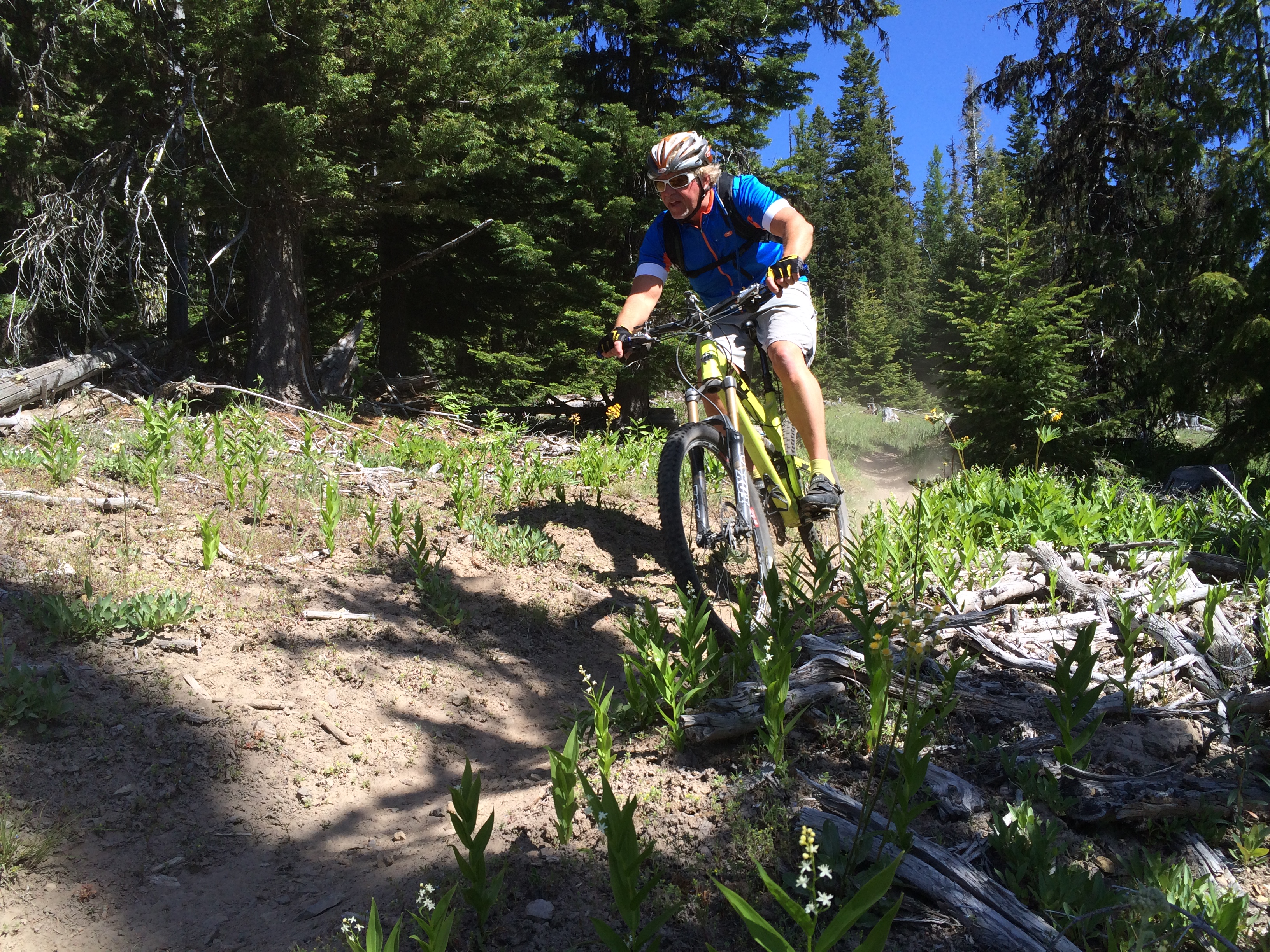
You can also check out the Camas, Clear Creek, Rim Rock (connects at Clear Creek CG) and Bear Springs race course trails – all in the Barlow District on the east side.
Check the fed web site for beta on these trails. http://www.fs.usda.gov/recarea/mthood/null/recarea/?recid=52772&actid=34
Clear Creek trail
Camas Trail
If you’re keen to help with continued clearing efforts, reach out via e-mail to us and we’ll connect you with the ranger to make a plan.

 Hey everyone, the 8-Mile trail parking area (just off 44 road, across from the 450 trail) will be closed on Thursday, August 14 while the USFS works to remove some standing dead trees.